Name/Title
Print, PhotographicEntry/Object ID
1999.011.0675Description
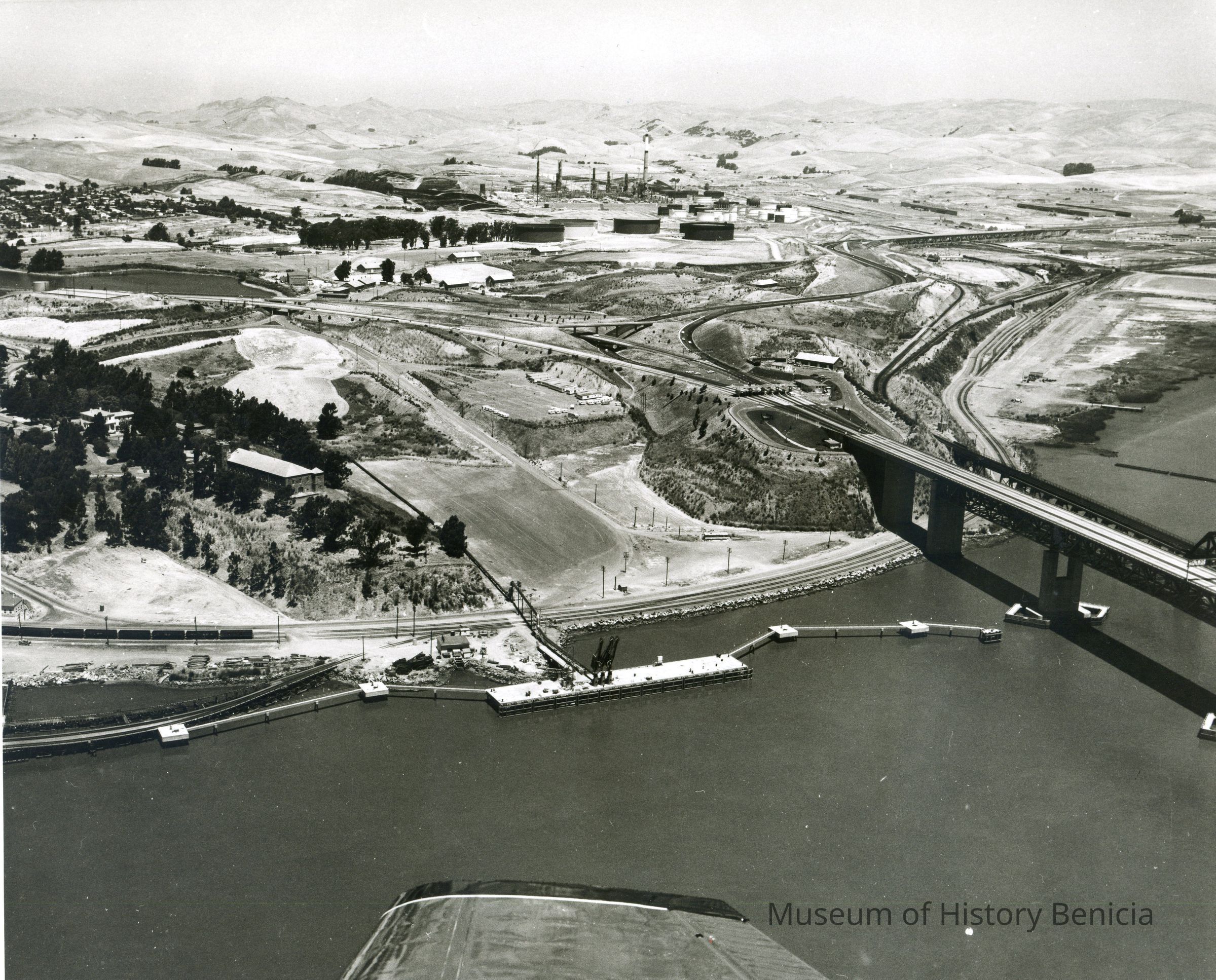
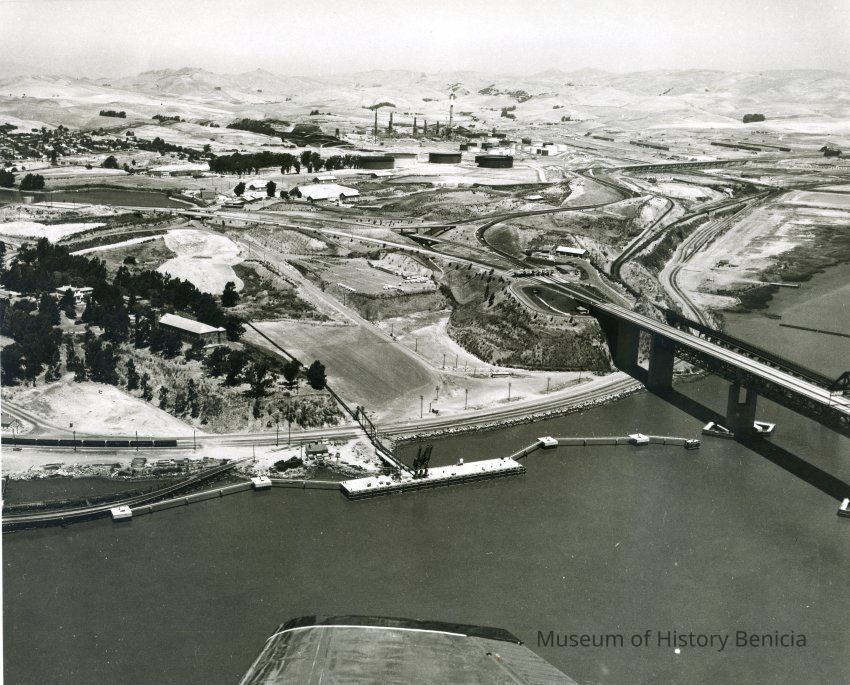
B/W aerial photo dock/pier site south of Benicia/Martinez bridge on Carquinez Strait shoreline, looking north east: across top: Benicia residences, empty hills, oil refinery, hiway 680; across center: hiway 780, Clock Tower, toll plaza, Benicia/Martinez and SP Railroad bridges; across bottom: railroad tracks along rocky shoreline, completed dock/pier and mooring stations, airplane wing tip.
Healy Tibbitts Construction CompanyCollection
Benicia Historical Museum Collection