Name/Title
Print, PhotographicEntry/Object ID
1999.011.0683Description
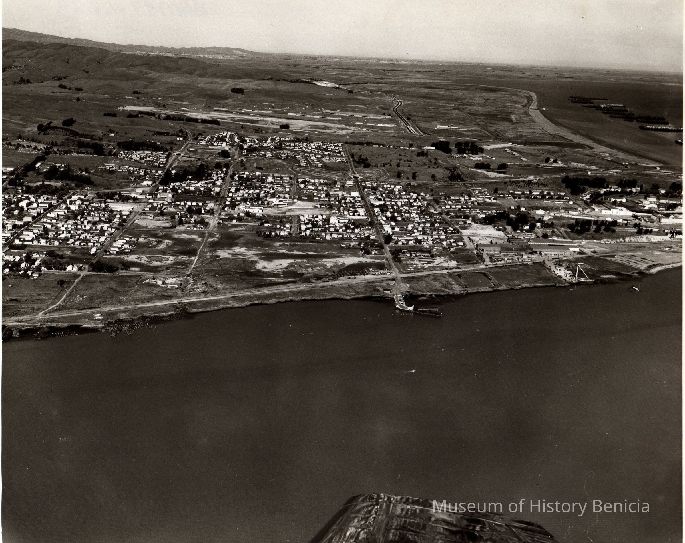
B/W aerial photo, envelope identified as "Dr. Coon Benicia Property:, appears to be shoreline of Benicia from between First Street and East Second Street to just passed the Yuba Complex into the Arsenal/Industrial Park area.
across the top: empty hills, Cordelia/Fairfield/Suisun in far upper distance, future Humble Oil Refinery site, warehouses, hiway 680, Carquinez Strait shoreline, Suisun Reserve/Mothball fleet (nine groups of ships);
across the center: City of Benicia (west to east) City Cemetery, downtown, east side residential and business, Arsenal/Industrial Park buildings and roads. Ferry Slip at bottom of East Fifth Street is near the center of the photo.
at bottom: Carquinez Strait and airplane wing tip.Collection
Benicia Historical Museum Collection