Name/Title
Topography - California Carquinez QuadrangleEntry/Object ID
1995.041.0001Scope and Content
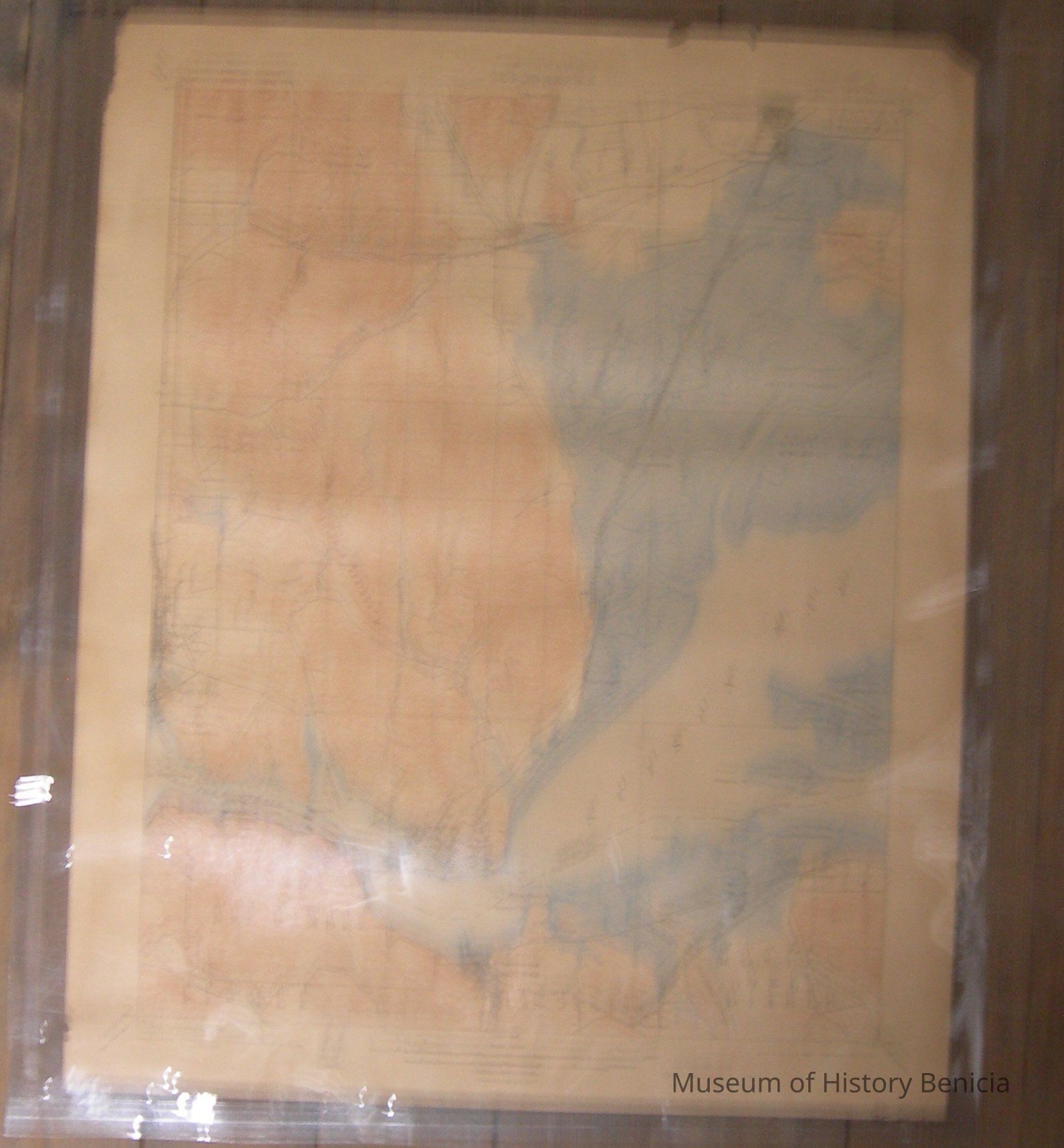
Rectangular map on tan paper, blue water and marsh areas, brown elevation lines on land. "US Geological Survey...Topography California Carquinez Quadrangle" at top
"...surveyed in 1896, engraved Nov. 1897...edition of July 1901, reprinted April 1906" at bottom
Stamped "Geo. E. Butler/Chronometer & Watchmaker/ 310 California Street/ Tel. Kearny 914"
Scale 1/62500
maker: USGS, Charles D. Walcott, Director
materials: paper and ink (encapsulated in clear plastic)
size: 20"length, 16-1/2" widthCollection
Benicia Historical Museum Collection