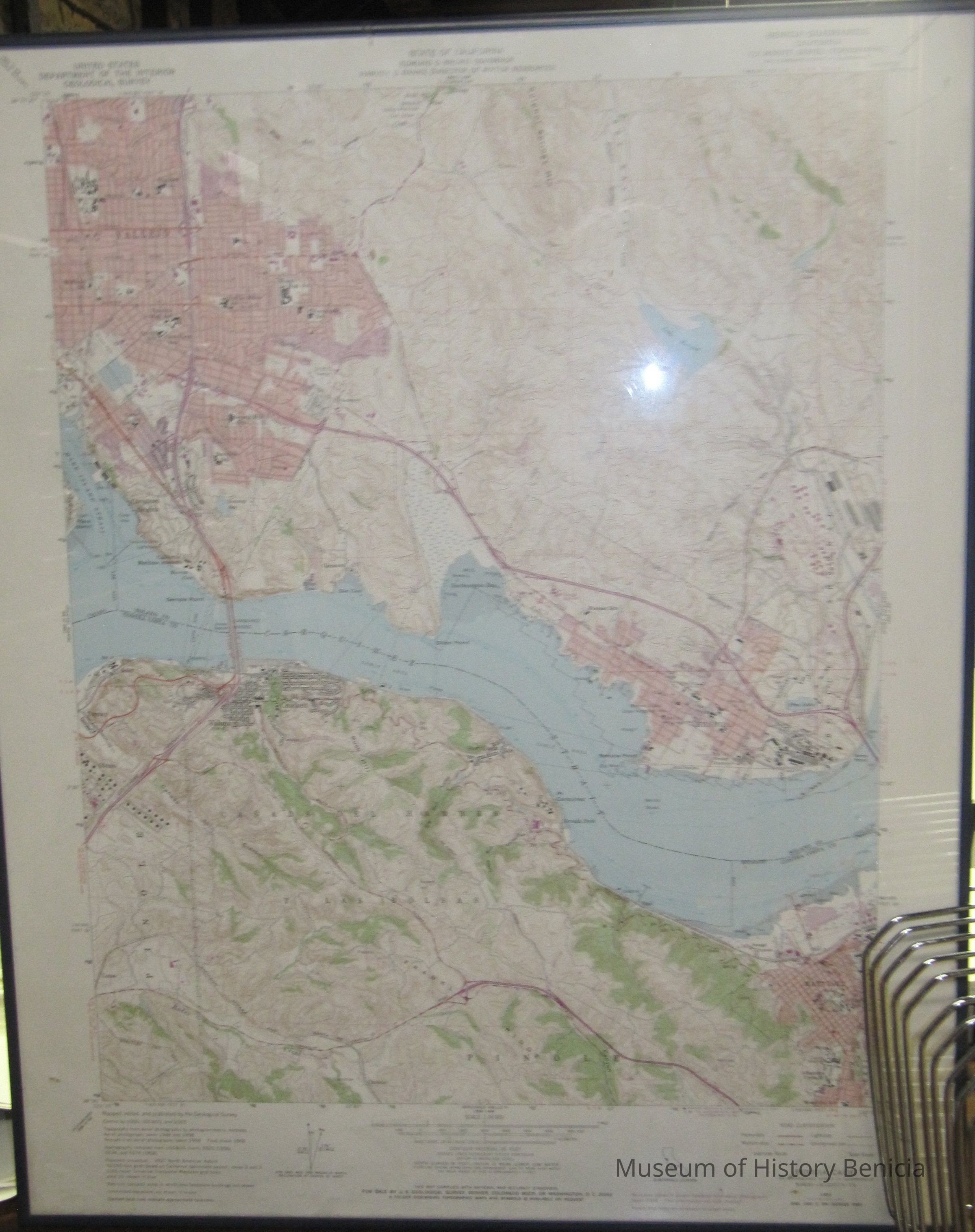
Name/Title
U.S Dept. of Interior Geological Survey Map Benicia Quadrangle California 7.5 minute Series (Topographic)Entry/Object ID
2009.099.0004Scope and Content
other information:
SW/4 Carquinez Strait 15' Quadrangle scale 1:24000;
Mapped, edited and published by the Geological Survey;
aerial photographs by photogrammetric methods;
stamped at top center:
State of California
Edmund G. Brown, governor
Harvey O. Banks, Director of Water Resources
latitude: 38 degrees 07' 3" to 38 degrees 0'
longitude: 122 degrees 15' to 122 degrees 07' 30"
varied coloring: red, brown, green, blue, purple, white
black font
cities: Vallejo, Benicia, Martinez, Crockett, Oleum, Pinole
bodies of water: Carquinez Strait, Lake Herman, Swanzy Res. Paddy Lake, Pine LakeCollection
Benicia Historical Museum Collection