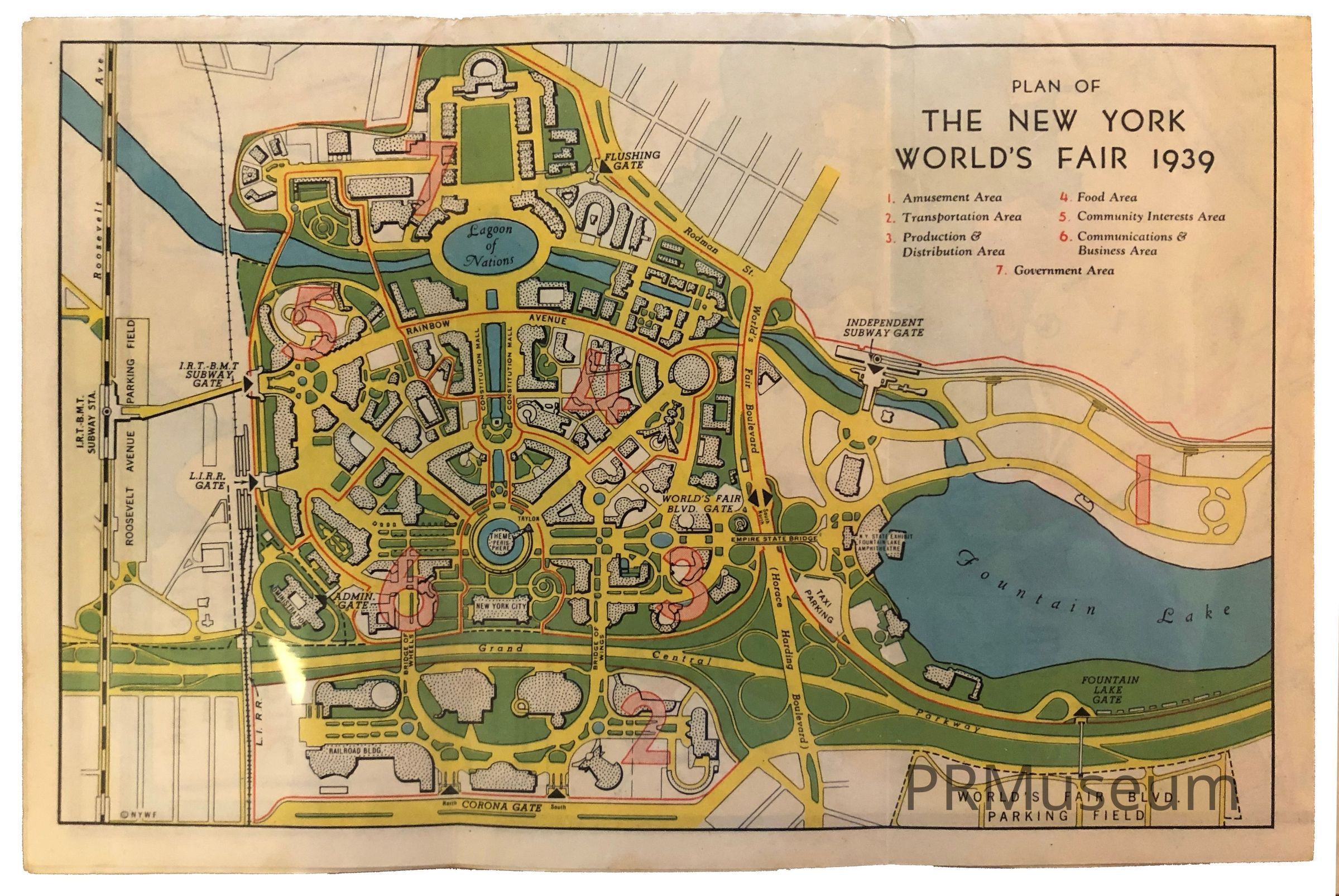
Plan of The New York World’s Fair 1939
Name/Title
Plan of The New York World’s Fair 1939Entry/Object ID
2019.13.14Description
Folded color map showing: Fair layout and nearby subway stops. Also, listings for: the buildings in New York; sports stadiums; central points of interest; principal airports; principal churches; amusement parks and beaches; museums, parks and zoos; theatres and motion picture theatres; New York’s principal theatre and shopping districts. Map of New York with principal points of interest, routes to the World’s Fair by subway and automobile.Category
Public Relations