Map of Southwestern Asia (1919)
Name/Title
Map of Southwestern Asia (1919)Entry/Object ID
2023.083aTags
On ViewDescription
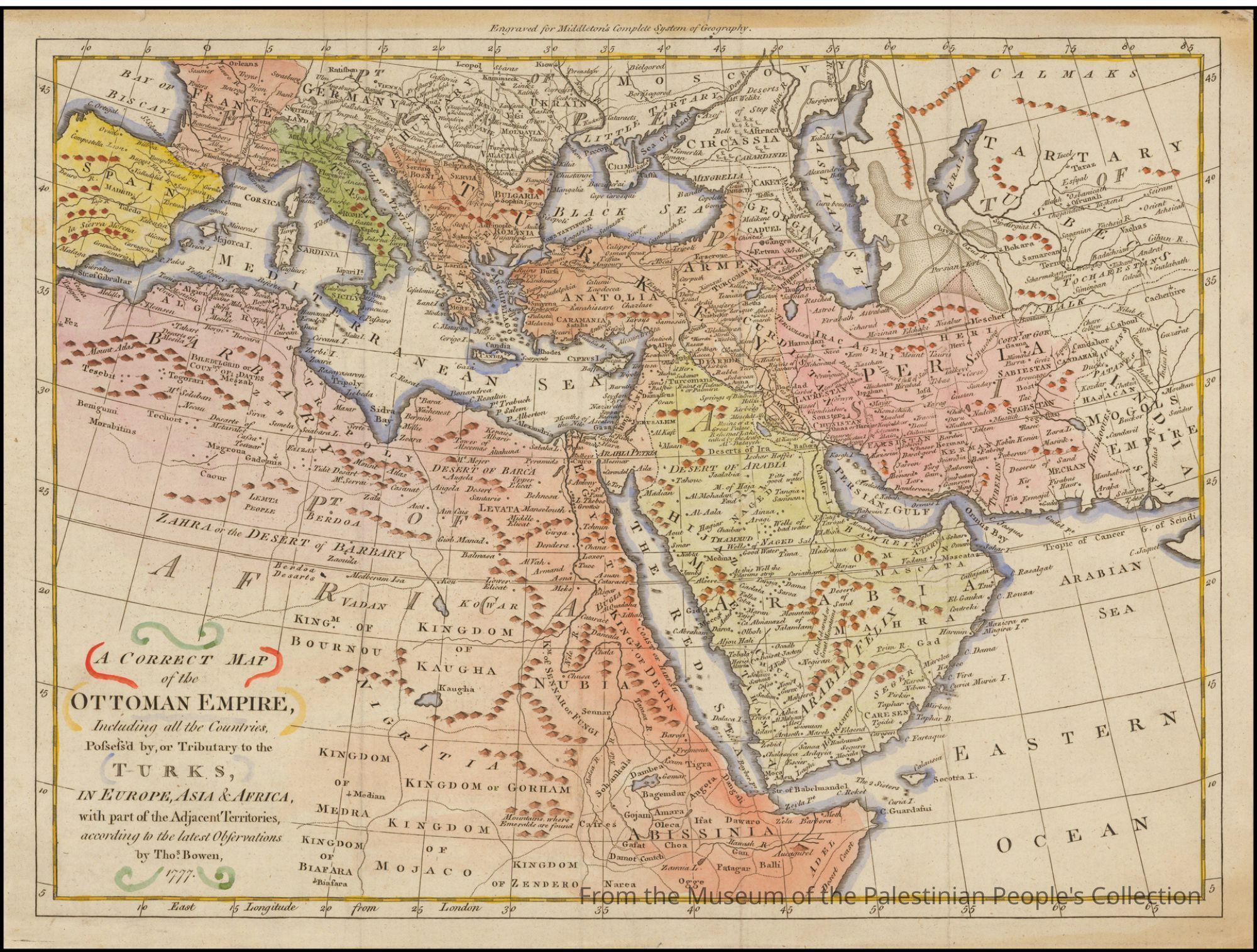
Hammond World Atlas Corporation was an American map company that was founded in 1900 in Brooklyn, New York by Caleb Stillson Hammond. The map notes each village and town in English. Following the "Longitude East from Greenwich'' line marked on the lower center frame of the map, and right of the Mediterranean Sea, historic regions of Palestine are noted including Gaza, Yafa, Nablus, Akka, Jericho and more. The borders later drawn by the British and French in the 1916 Sykes-Picot Agreement were, from an Indigenous perspective, arbitrary because they divided many tight knit cultural communities into two, and sometimes three, separate nation states. Publisher: C.S. HammondCollection
Permanent CollectionCataloged By
Wafa GhnaimCategory
Documents