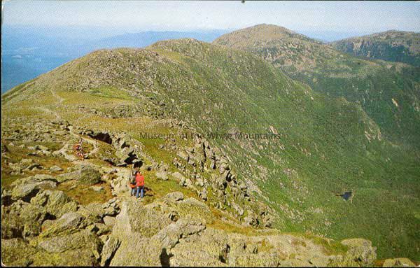
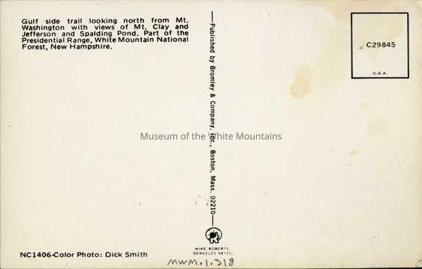
Gulf Side Trail Looking North From Mt. Washington With Views of Mt. Clay and Jefferson and Spalding Pond. Part of the Presidential Range, White Mountain National Forest, New Hampshire.
Gulf Side Trail Looking North From Mt. Washington With Views of Mt. Clay and Jefferson and Spalding Pond. Part of the Presidential Range, White Mountain National Forest, New Hampshire.
Entry/Object ID
MWM2015.0001.0318
Scope and Content
Several hikers are seen walking on the top of a mountain. Down the side of the mountain is greenary. Many rocks are visible. There are no markings on the back of the card. Published by Bromley and Company, Inc., Boston, Mass.
Acquisition
Accession
MWM2015.0001
Source or Donor
Newton, John W. (Jack) and Anne H.
Acquisition Method
Gift
Lexicon
Nomenclature 4.0
Nomenclature Primary Object Term
Postcard
Nomenclature Sub-Class
Writing Media
Nomenclature Class
Written Communication T&E
Nomenclature Category
Category 06: Tools & Equipment for Communication
LOC Thesaurus for Graphic Materials
Mountain climbing, Mountains, Hiking
Search Terms
Postal Services, Washington, Mount (Coos county, New Hampshire : mountain), Clay, Mount (Coos county, New Hampshire : peak), Jefferson (Coos county, New Hampshire : inhabited place), Presidential Range (Coos county, New Hampshire : ridge)
Archive Details
Date(s) of Creation
1960 - 1975
Condition
Notes
Slightly tarrered corners
General Notes
Note
Status Date: 2018-06-12
Scan ID#: WM201800634 - WM201800635