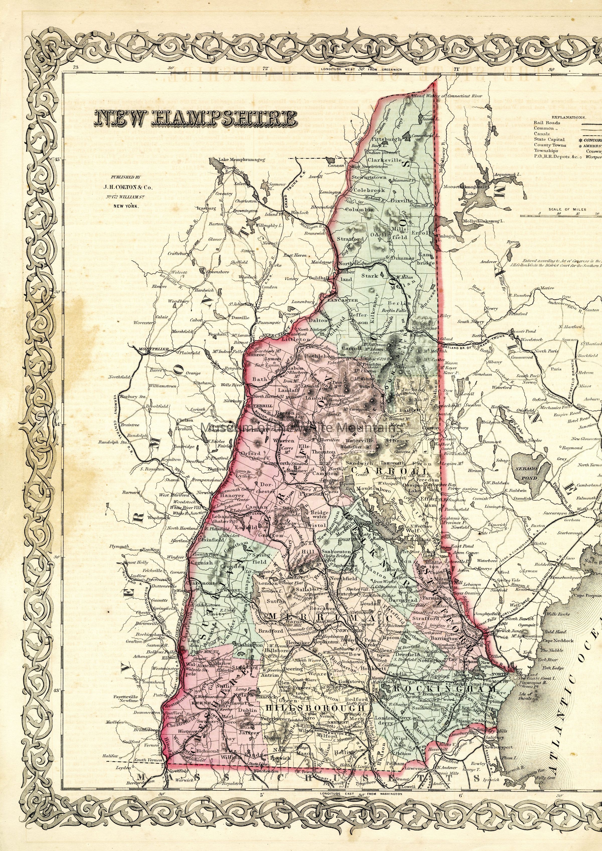
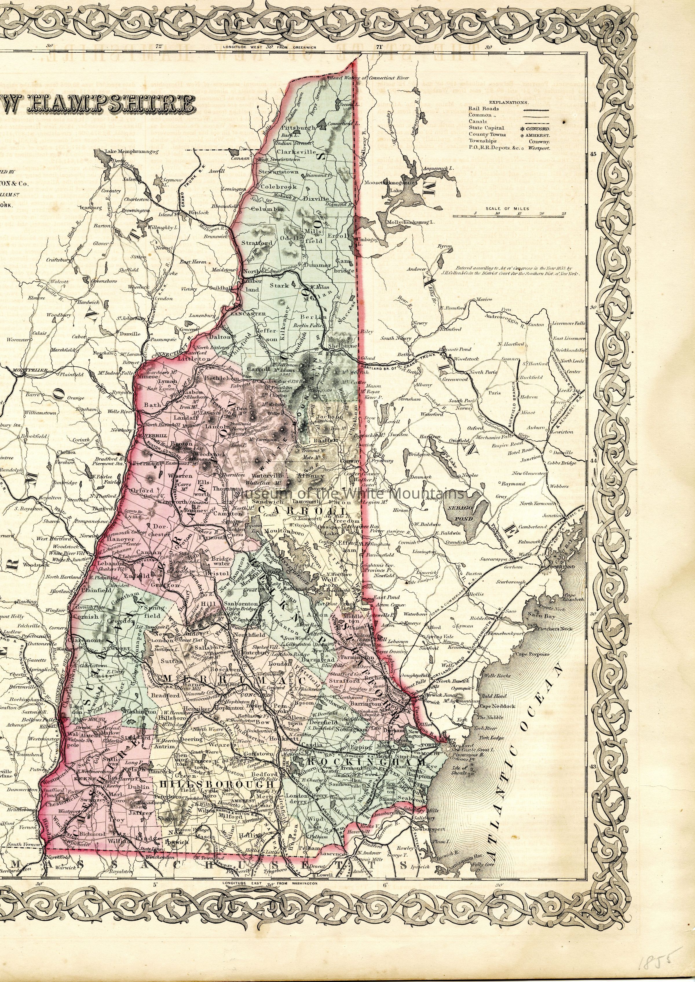
A map showcasing the state of New Hampshire, drawn from Rorbury Station, VT in the east to Leeds Station, ME in the west, and Lowell, MA in the south to New Hampshire's border with Canada in the north.
Currently two scans of front to fit all information.
The back contains information about the state of Vermont. (Not Scanned)