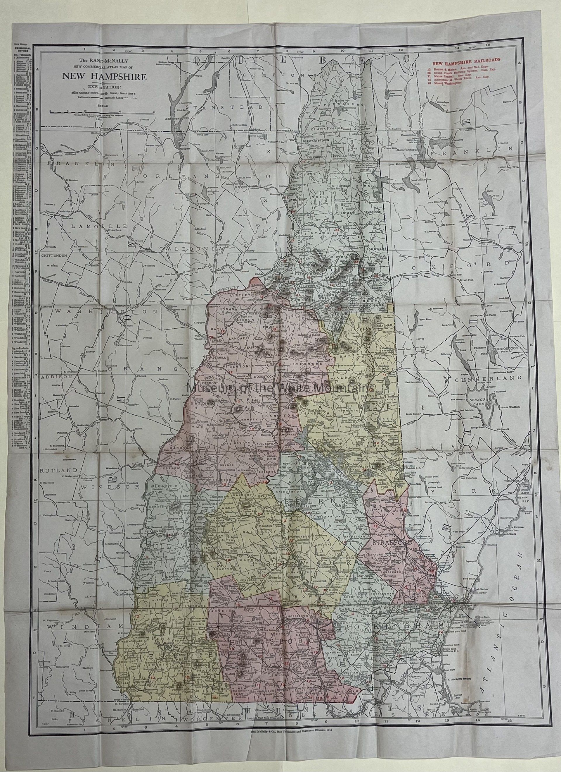
The Rand- McNally New Commercial Atlas Map of New Hampshire
Entry/Object ID
MWM2013.0026.0007
Scope and Content
This is a detailed map of New Hampshire including less detailed parts of Vermont and Maine that border New Hampshire. The counties of New Hampshire are broken up into different colors. The map also includes the railroads and electric lines of New Hampshire. The railroad lines are coded by number by company.
Collection
Fabian Collection
Acquisition
Accession
MWM2013.0026
Source or Donor
Fabian, Rick and Georgene
Acquisition Method
Gift
Lexicon
Nomenclature 4.0
Nomenclature Secondary Object Term
Map
Nomenclature Primary Object Term
Cartograph
Nomenclature Sub-Class
Graphic Documents
Nomenclature Class
Documentary Objects
Nomenclature Category
Category 08: Communication Objects
LOC Thesaurus for Graphic Materials
Electric lines, Maps, Railroads
Search Terms
New Hampshire (United States : state)
Archive Details
Date(s) of Creation
1912 - 1912
Primary Language
English
Archive Notes
Date(s) Created: 1912
Date(s): 1912
Publication Date: 1912
Publisher: Rand McNally & Co.
Place Published: Chicago, IL
Condition
Notes
Very few blemishes.
Has been folded in the past.
General Notes
Note
Notes: There was a note stuck to the map that says: "Rand McNally Map of NH 1912"