HUB
Collections
Classifications
About
App
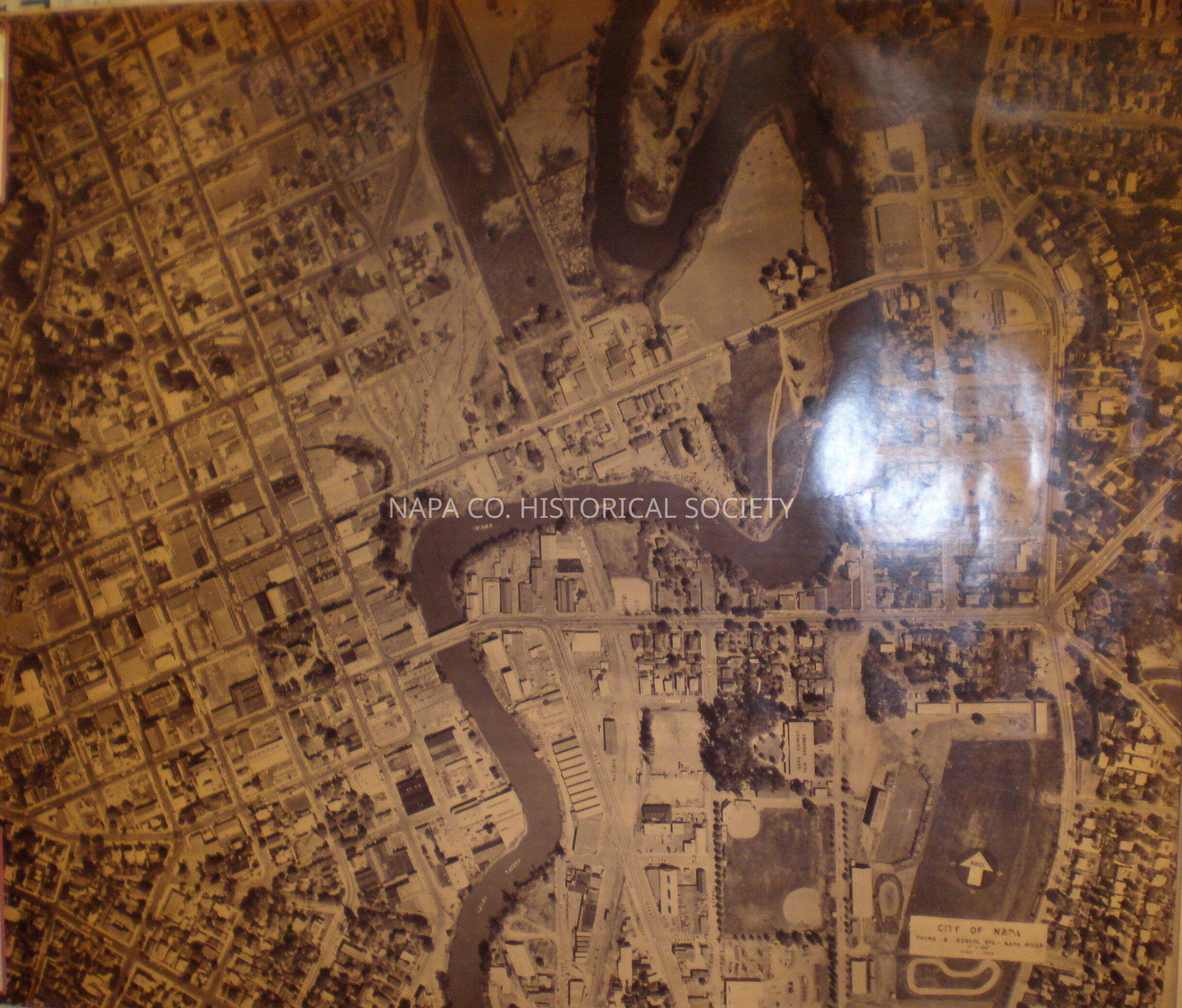
Aerial photo of Napa and the Napa River
Photograph
-
Napa County Historical Society
Aerial Map of Napa
Name/Title
Aerial photo of Napa and the Napa River
Entry/Object ID
1998.17.1
Description
Aerial Photo Napa 1962
Collection
Maps
Acquisition
Accession
1998.17
Source or Donor
Clark, Ruth (Jennings)
Acquisition Method
Gift
Made/Created
Date made
1962
Lexicon
Nomenclature 4.0
Nomenclature Secondary Object Term
Print, Photographic
Nomenclature Primary Object Term
Photograph
Nomenclature Sub-Class
Graphic Documents
Nomenclature Class
Documentary Objects
Nomenclature Category
Category 08: Communication Objects
LOC Thesaurus for Graphic Materials
Maps,
Aerial photographs
Search Terms
Napa,
Maps,
Aerial photographs
Create Date
March 25, 2009
Update Date
September 11, 2024