Name/Title
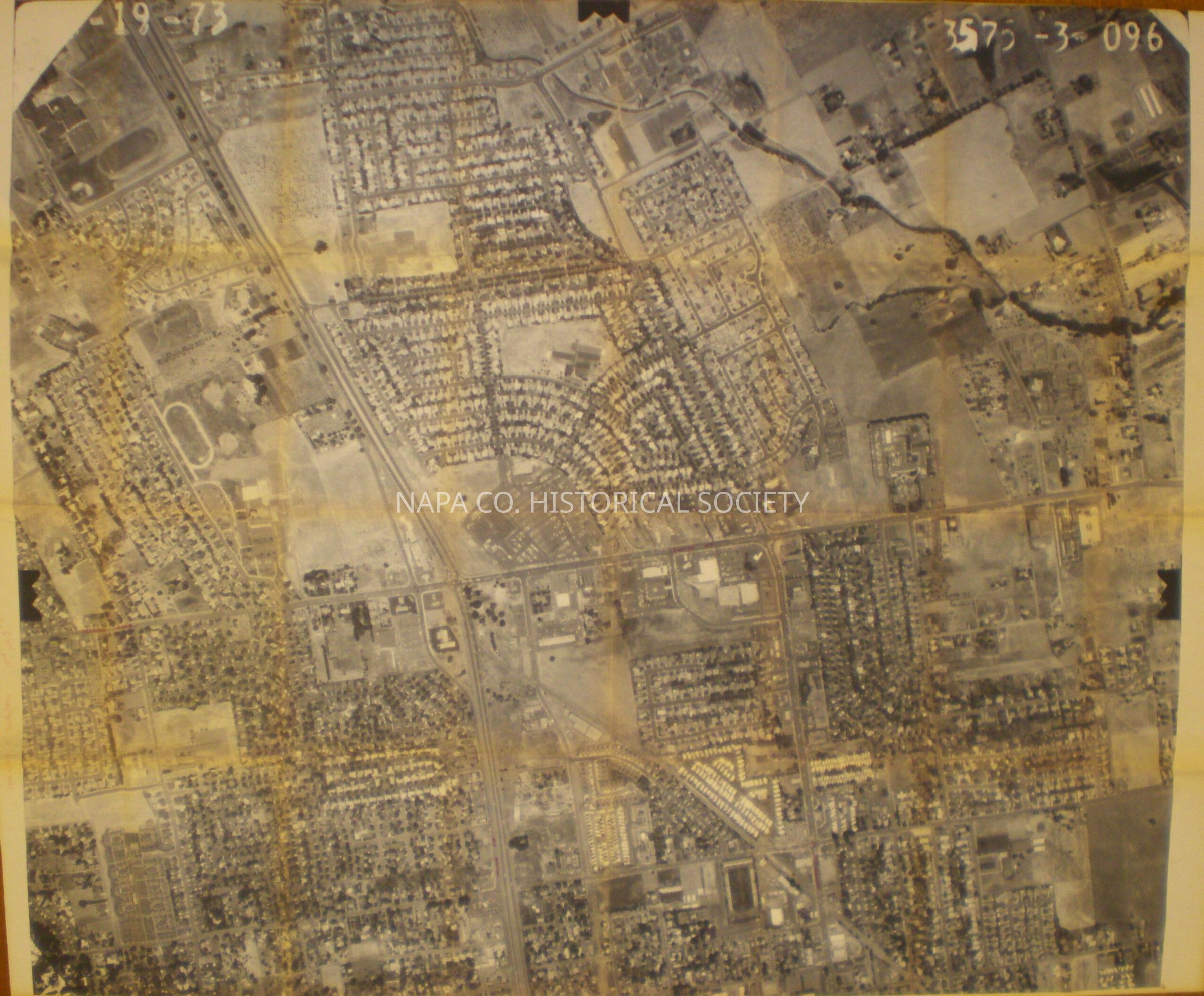
Aerial photo of Trancas/Redwood/Hwy29Entry/Object ID
2010.131.1Scope and Content
Aerial photograph of area encompassing Trancas Avenue, Redwood Road crossing Solano Avenue and Hwy 29. Photograph taken 1973
Location, Map Box #10, map 184Collection
MapsAcquisition
Accession
2010.131Acquisition Method
GiftLexicon
Nomenclature 4.0
Nomenclature Secondary Object Term
MapNomenclature Primary Object Term
CartographNomenclature Sub-Class
Graphic DocumentsNomenclature Class
Documentary ObjectsNomenclature Category
Category 08: Communication ObjectsLOC Thesaurus for Graphic Materials
Aerial photographsSearch Terms
Aerial photographs, Trancas Avenue, Redwood Road, Solano Avenue, Highway 29Create Date
December 30, 2010Update Date
January 5, 2023