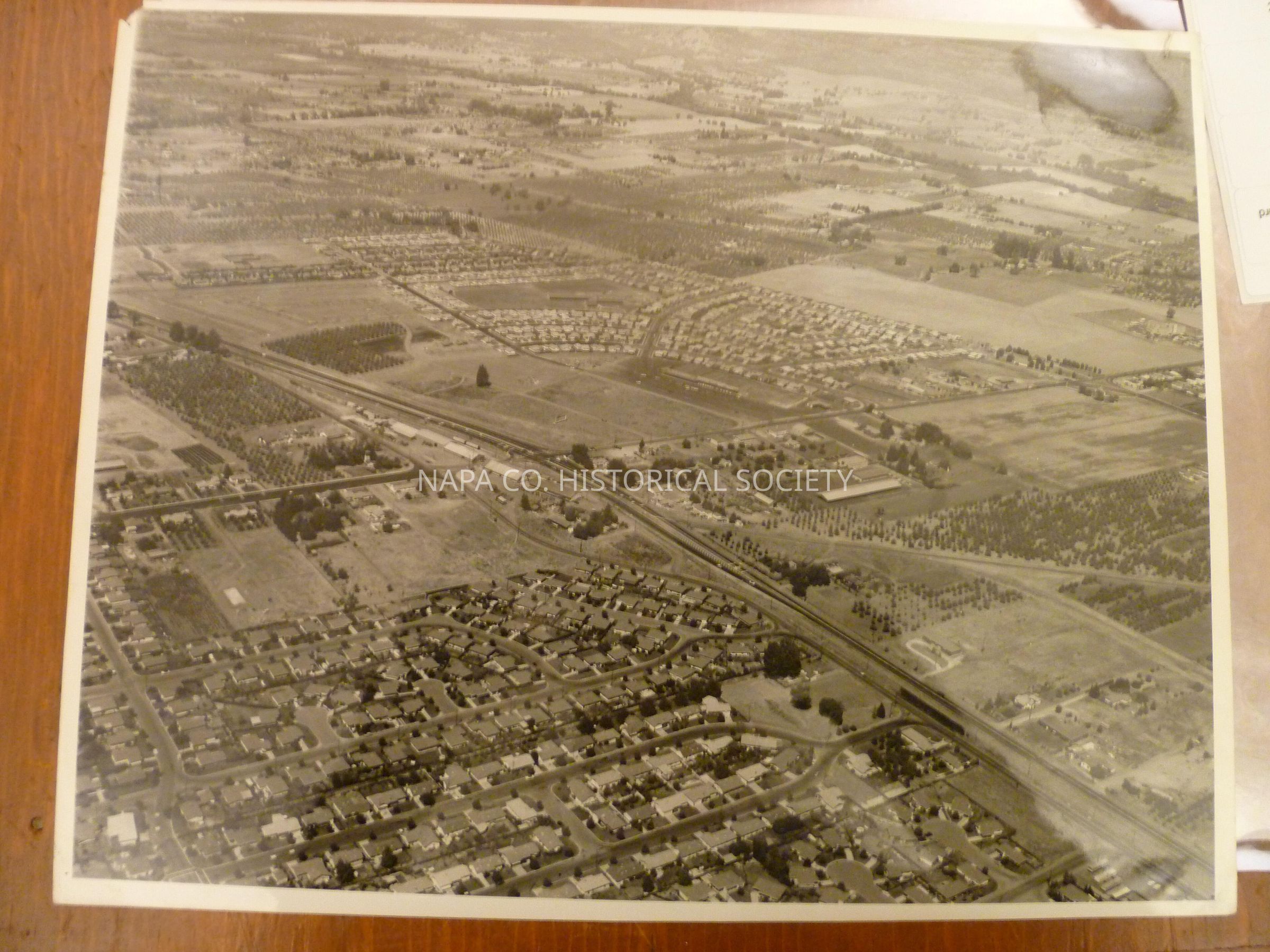
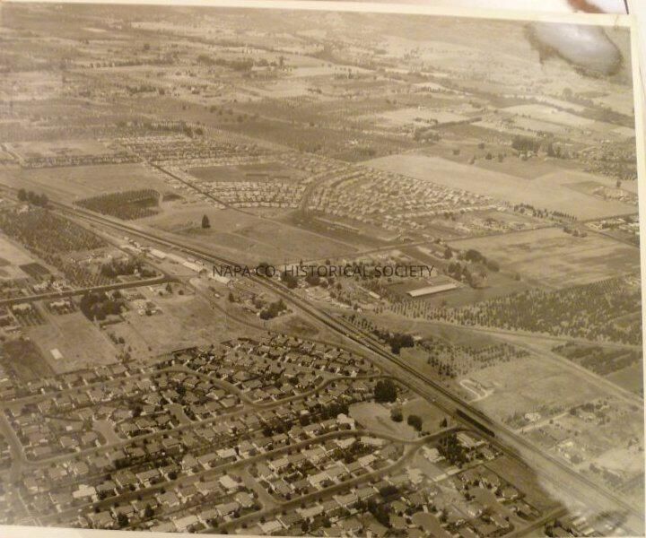
Black and white arial photo. Note on back reads "This photo shows Redwood and Trancas intersection. At the Intersection you ca see 5 buildings on left side of Hwy. 29 They were dehydrating sheds for prunes. This photo looks NORTH. Center of photo is Bel-Aire subdivision and Bel-Aire shopping center. Jefferson dead ends at Trancas"
Former Location O/S 5 PF# 4106
Collection
Photographs
Acquisition
Accession
1998.3
Source or Donor
Millhouse, Jane
Acquisition Method
Gift
Made/Created
Studio
John Stutzman's Photography Center
Date made
1960 - 1960
Place
Location
1625 Jefferson Street, Napa, CA
Notes
Date: 10/01/1960
Lexicon
Nomenclature 4.0
Nomenclature Secondary Object Term
Print, Photographic
Nomenclature Primary Object Term
Photograph
Nomenclature Sub-Class
Graphic Documents
Nomenclature Class
Documentary Objects
Nomenclature Category
Category 08: Communication Objects
LOC Thesaurus for Graphic Materials
Dehydration of food
Search Terms
Napa City, Dehydration of food, Highway 29, Trancas Avenue