Imrieville

Name/Title

Imrieville

Entry/Object ID

2011.83.9

Scope and Content

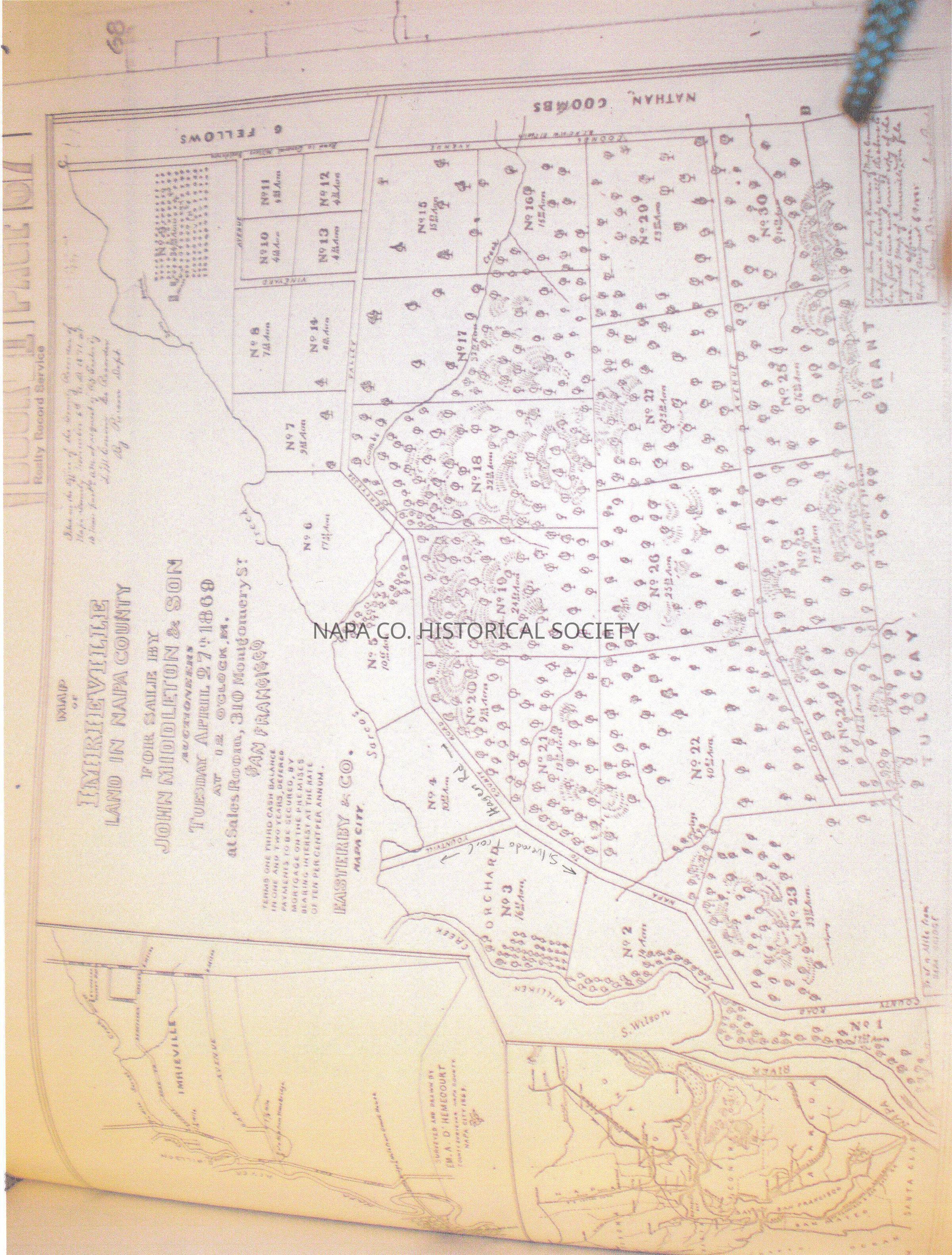
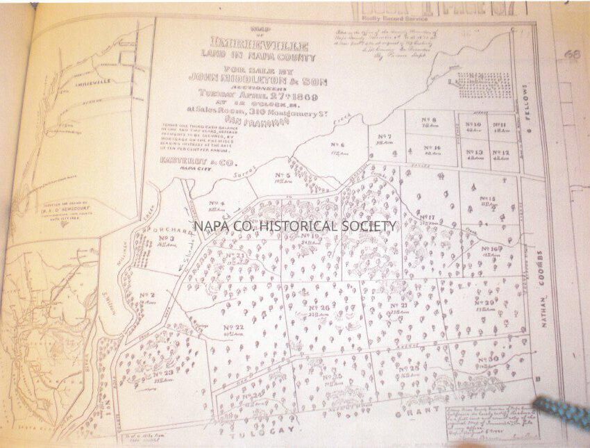
Copy of tract map from the Assessor and Recorder's Office (1127 First Street). This is a map of an area once known as Imrieville, which is bounded by County Road (today Silverado Trail) on the west, Yountville Road (which today is a continuation of the Silverado Trail), and County Road stretching northeast (which today is Hagen Road. To the far east running north-south is Coombs Avenue (today First Avenue) and to the south is Oak Avenue (today is a combination of Ashlar Drive, Hillside and Stonecrest, but it no longer connects to 1st Avenue). 1869 Location: Ephemera box #69

Collection

Ephemera

Acquisition

Accession

2011.83

Acquisition Method

Found in Collection

Lexicon

Nomenclature 4.0

Nomenclature Secondary Object Term

Map

Nomenclature Primary Object Term

Cartograph

Nomenclature Sub-Class

Graphic Documents

Nomenclature Class

Documentary Objects

Nomenclature Category

Category 08: Communication Objects

Search Terms

Coombs, Nathan, Fellows, George, Wilson, S., Acreage, Land ownership, Land purchasing, Imrieville, Silverado Trail, Hagen Road, First Avenue, Hillside Avenue, Ashlar Drive, County road, Milliken Creek
Archive Details

Date(s) of Creation

1869

Relationships

Related Person or Organization

Person or Organization

Coombs, Nathan

Person or Organization

Fellows, George

Person or Organization

Wilson, S.

Create Date

December 29, 2011

Update Date

June 23, 2021