Map

Name/Title

Map

Entry/Object ID

2011.11.17

Description

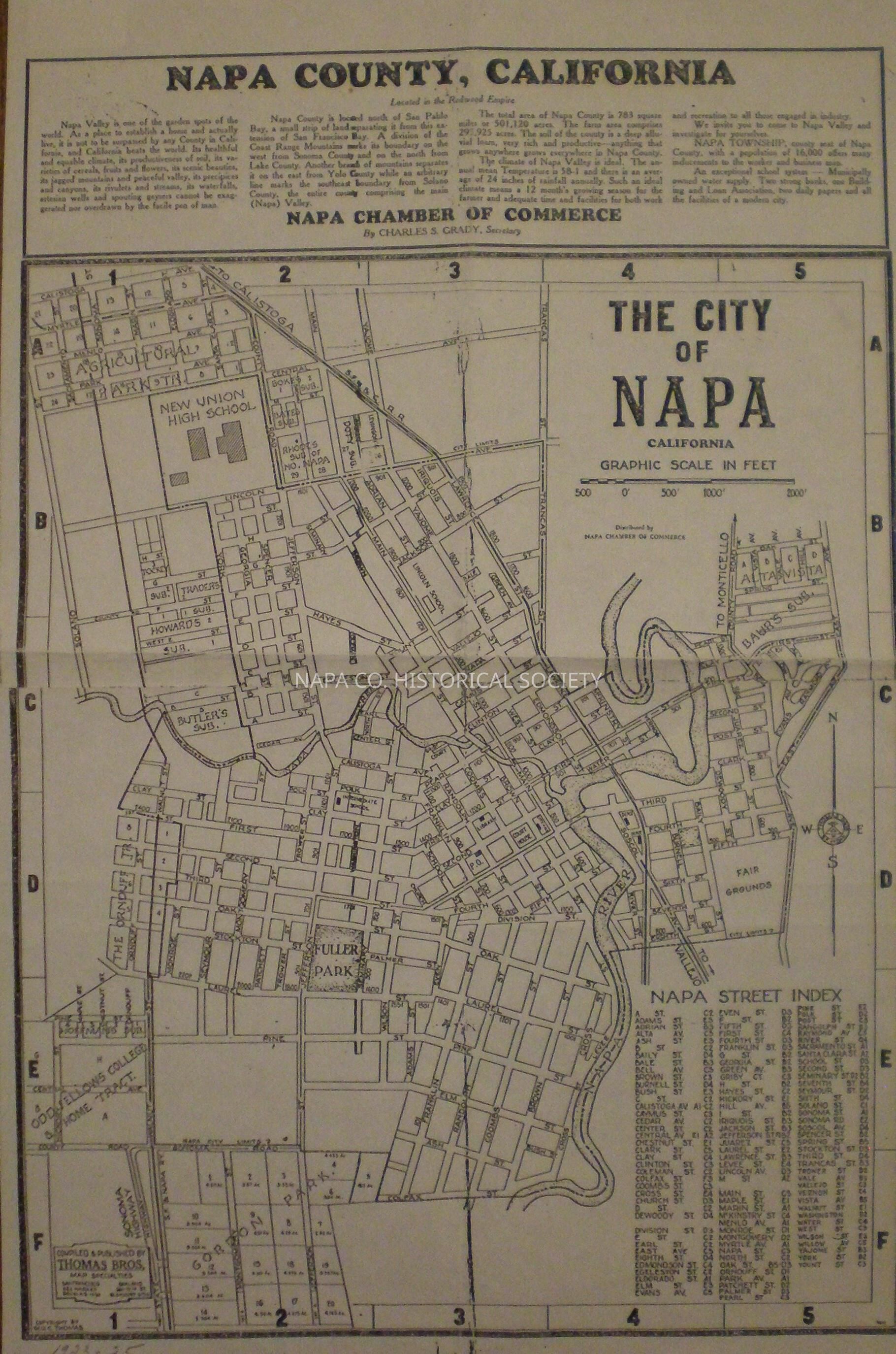
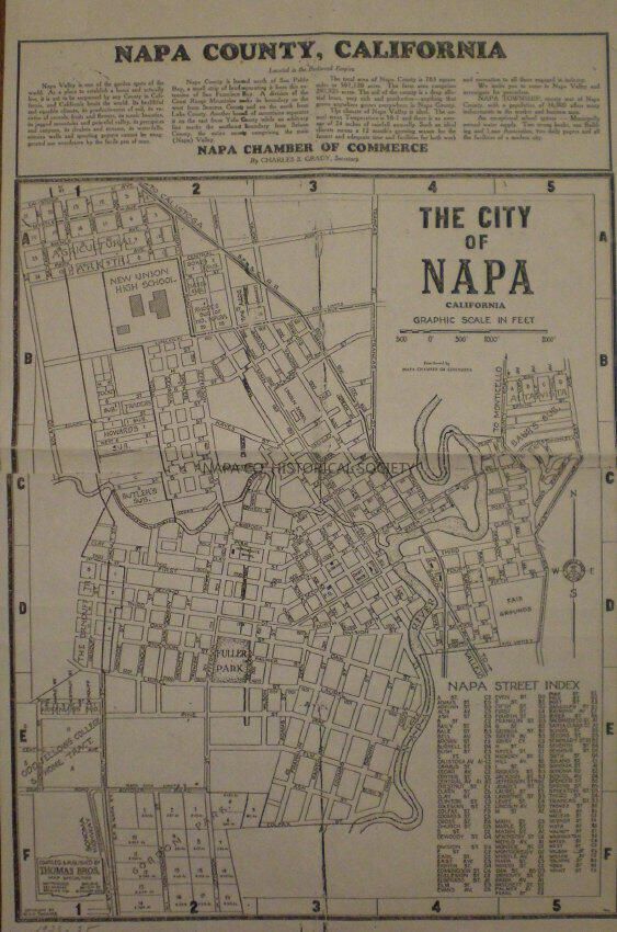
Map of the City of Napa from the Napa Chamber of Commerce between 1923 and 25. While many of the street names are different now, the map is roughly bounded by Pueblo Ave (then labeled Calistoga Ave) to the north, East Avenue to the east, Colfax Street to the south and Solano Ave to the west. Location: Flat Map Box #1, map 38

Collection

Maps

Acquisition

Accession

2011.11

Acquisition Method

Gift

Lexicon

Nomenclature 4.0

Nomenclature Secondary Object Term

Map

Nomenclature Primary Object Term

Cartograph

Nomenclature Sub-Class

Graphic Documents

Nomenclature Class

Documentary Objects

Nomenclature Category

Category 08: Communication Objects

LOC Thesaurus for Graphic Materials

Subdivision of land

Search Terms

Alta Vista, Bate's Subdivision, Baur's Subdivision, Boke's Subdivision, Butler's Subdivision, Doty Subdivision, Downtown Napa, Fuller Park, Gordon Park, Hoffman's Subdivision, Howard's Subdivision, Levinson's Subdivision, Odd-Fellows' College and Home, Ornduff Tract, Rhode's Subdivision, Subdivision of land
Map Details

Area or Region

Location

Downtown Napa

Date Published

1923 - 1925

Create Date

January 7, 2011

Update Date

June 23, 2021