Name/Title
MapEntry/Object ID
2009.62.55Description
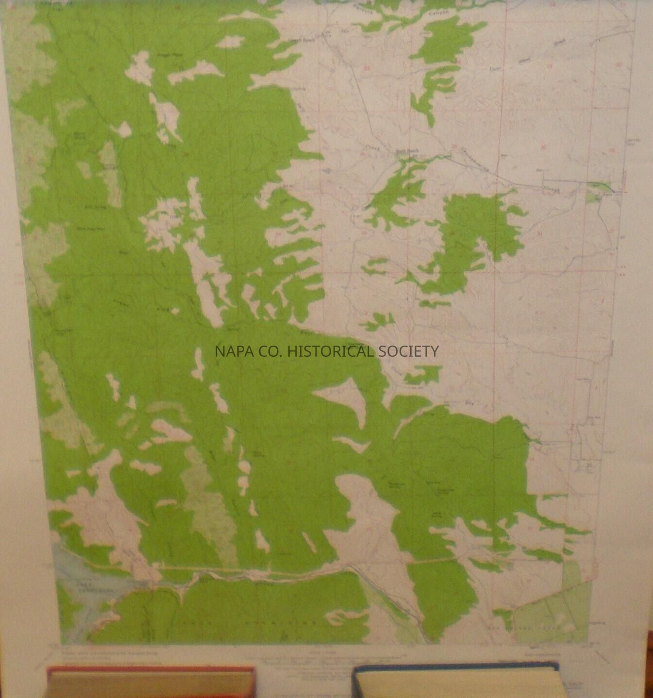
Map of Monticello Dam (topography) State of California Department of Water Resources, 1959.Collection
MapsAcquisition
Accession
2009.62Acquisition Method
GiftLexicon
Nomenclature 4.0
Nomenclature Secondary Object Term
MapNomenclature Primary Object Term
CartographNomenclature Sub-Class
Graphic DocumentsNomenclature Class
Documentary ObjectsNomenclature Category
Category 08: Communication ObjectsLOC Thesaurus for Graphic Materials
Maps, Topographic maps, DamsSearch Terms
Maps, Napa, Napa County, Topographic maps, Dams, Monticello DamCreate Date
March 27, 2009Update Date
November 17, 2022