Map

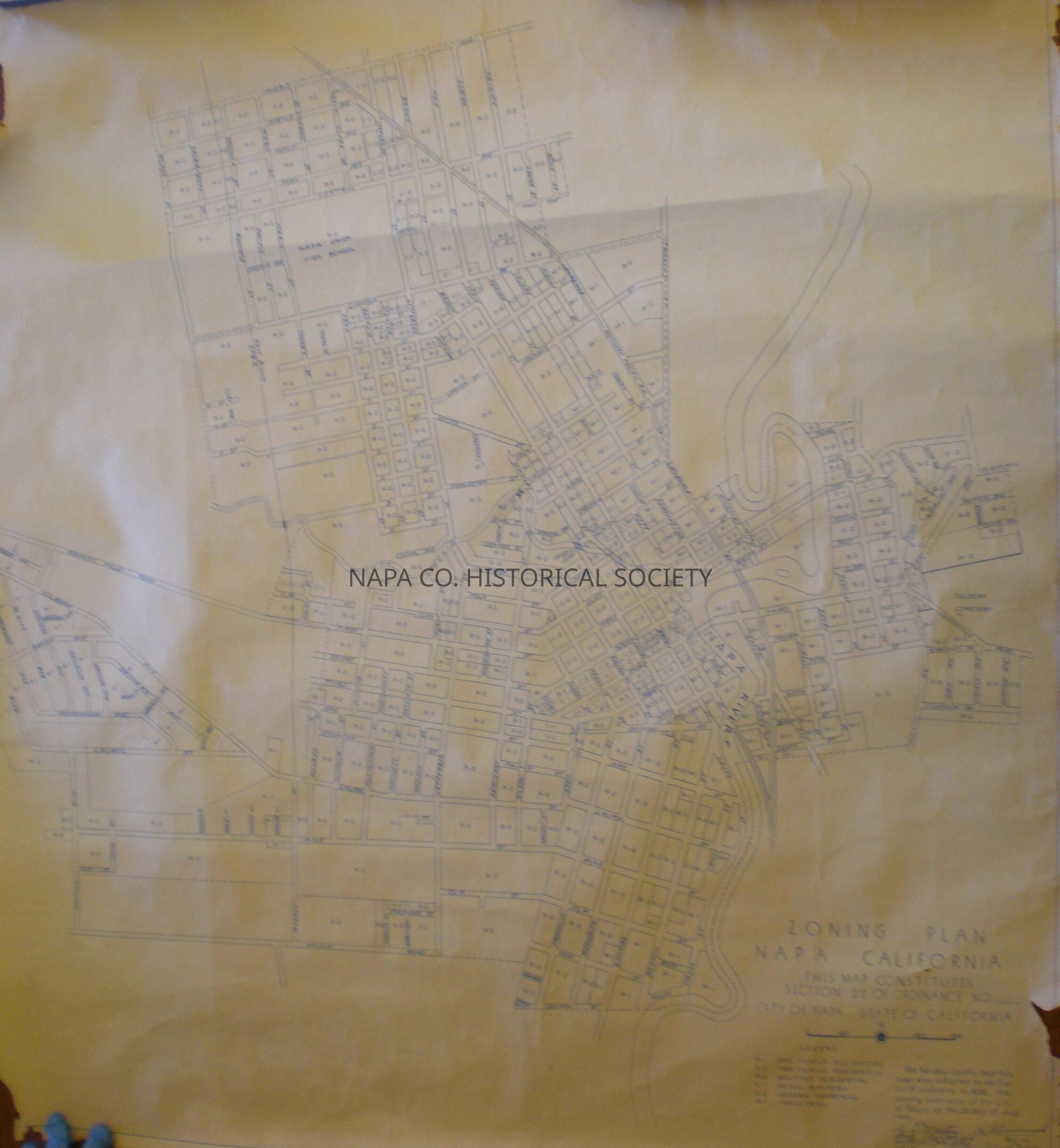
Zoning Plan Napa 1955

Zoning Plan Napa 1955

Name/Title

Map

Entry/Object ID

2009.62.32

Description

Zoning Plan map, Napa 1945. Caption states that "this map was adopted as section 2.2 of ordinance no. 836, the zoning ordinance of the City of Napa on the 20 day of Aug. 1945." Map is largely of the downtown area, East & West are bounded by Tulocay Cemetery and Foothill Blvd., North & South are bounded by Pueblo Ave. and Old Sonoma Rd.

Collection

Maps

Acquisition

Accession

2009.62

Acquisition Method

Gift

Lexicon

Nomenclature 4.0

Nomenclature Secondary Object Term

Map

Nomenclature Primary Object Term

Cartograph

Nomenclature Sub-Class

Graphic Documents

Nomenclature Class

Documentary Objects

Nomenclature Category

Category 08: Communication Objects

LOC Thesaurus for Graphic Materials

Maps

Search Terms

Maps, Napa, Napa County, Zoning maps, Tulocay Cemetery, Napa Union High School, Oxbow, The, Napa River, Old Sonoma Road, Foothill Blvd., Pueblo Avenue, Cinnamond, S. J., Martin, C. E.
Map Details

Area or Region

Location

Napa

Date Published

1945

Relationships

Related Person or Organization

Person or Organization

Cinnamond, S. J.

Person or Organization

Martin, C. E.

Create Date

March 27, 2009

Update Date

November 3, 2022