Name/Title
MapEntry/Object ID
2009.62.30Description
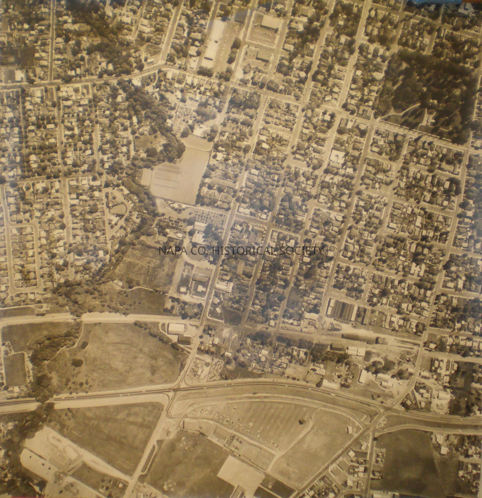
Aerial Photo (Hwy 29, Seminary Laurel, Napa Creek) ca. 1960sCollection
MapsAcquisition
Accession
2009.62Acquisition Method
GiftLexicon
Nomenclature 4.0
Nomenclature Secondary Object Term
MapNomenclature Primary Object Term
CartographNomenclature Sub-Class
Graphic DocumentsNomenclature Class
Documentary ObjectsNomenclature Category
Category 08: Communication ObjectsLOC Thesaurus for Graphic Materials
Maps, Aerial photographsSearch Terms
Maps, Napa, Napa County, Aerial photographsCreate Date
March 27, 2009Update Date
November 3, 2022