Map

Name/Title

Map

Entry/Object ID

2009.134.6

Scope and Content

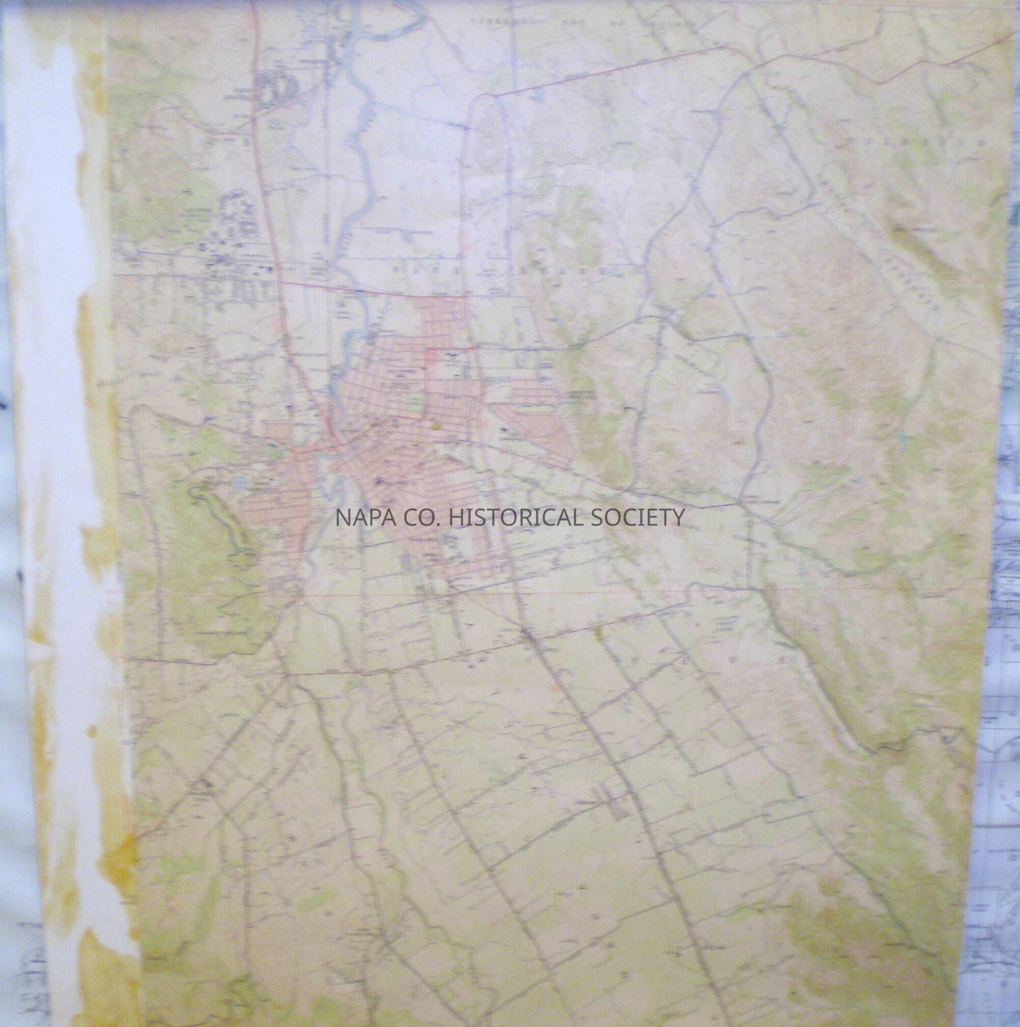
Napa City and surrounding areas; contains topography, various landmarks, and structures. Published in 1951, but aerial photographs were taken in 1948. Distributed by Thomas Bros. in San Francisco.

Collection

Maps

Acquisition

Accession

2009.134

Source or Donor

Gerard Lopez

Acquisition Method

Gift

Lexicon

Nomenclature 4.0

Nomenclature Secondary Object Term

Map

Nomenclature Primary Object Term

Cartograph

Nomenclature Sub-Class

Graphic Documents

Nomenclature Class

Documentary Objects

Nomenclature Category

Category 08: Communication Objects

LOC Thesaurus for Graphic Materials

Maps, Boundaries

Search Terms

Napa, Topography, Maps, Boundaries, Rincon de los Carneros land grant, Carneros Valley, Huichica, Congress Valley, Browns Valley, Shipyard Acres, Cuttings Wharf, Rocktram, Horseshoe Bend, Imola Siding, Napa State Hospital, Cup and Saucer Ridge, Vichy Springs, Napa, Redwood Canyon, Union
Archive Details

Date(s) of Creation

1951

Archive Notes

Date Published: 1951 Publisher: U. S. Geological Survey Place Published: Denver CO & Washington D.C.

Relationships

Related Places

Place

Location

Napa City

Create Date

July 14, 2009

Update Date

January 5, 2023