Map

Name/Title

Map

Entry/Object ID

2009.62.28

Description

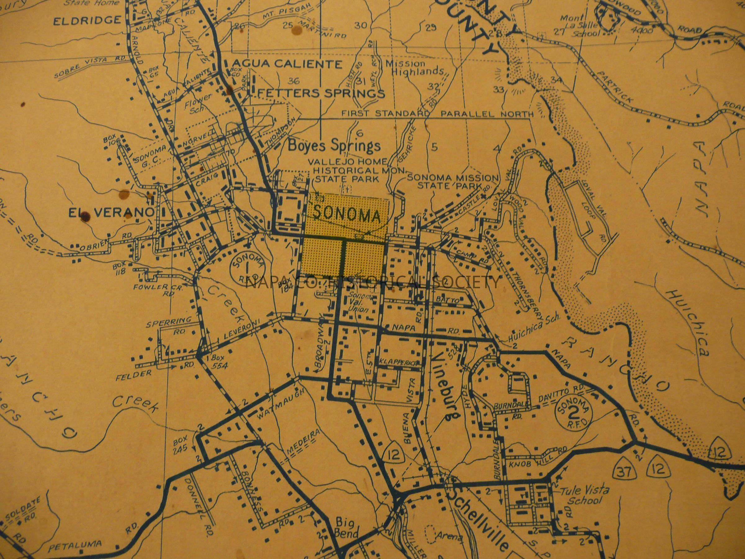
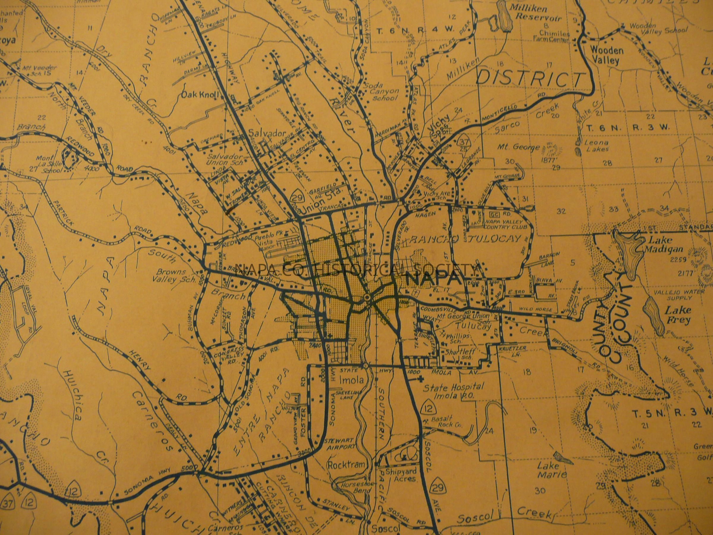
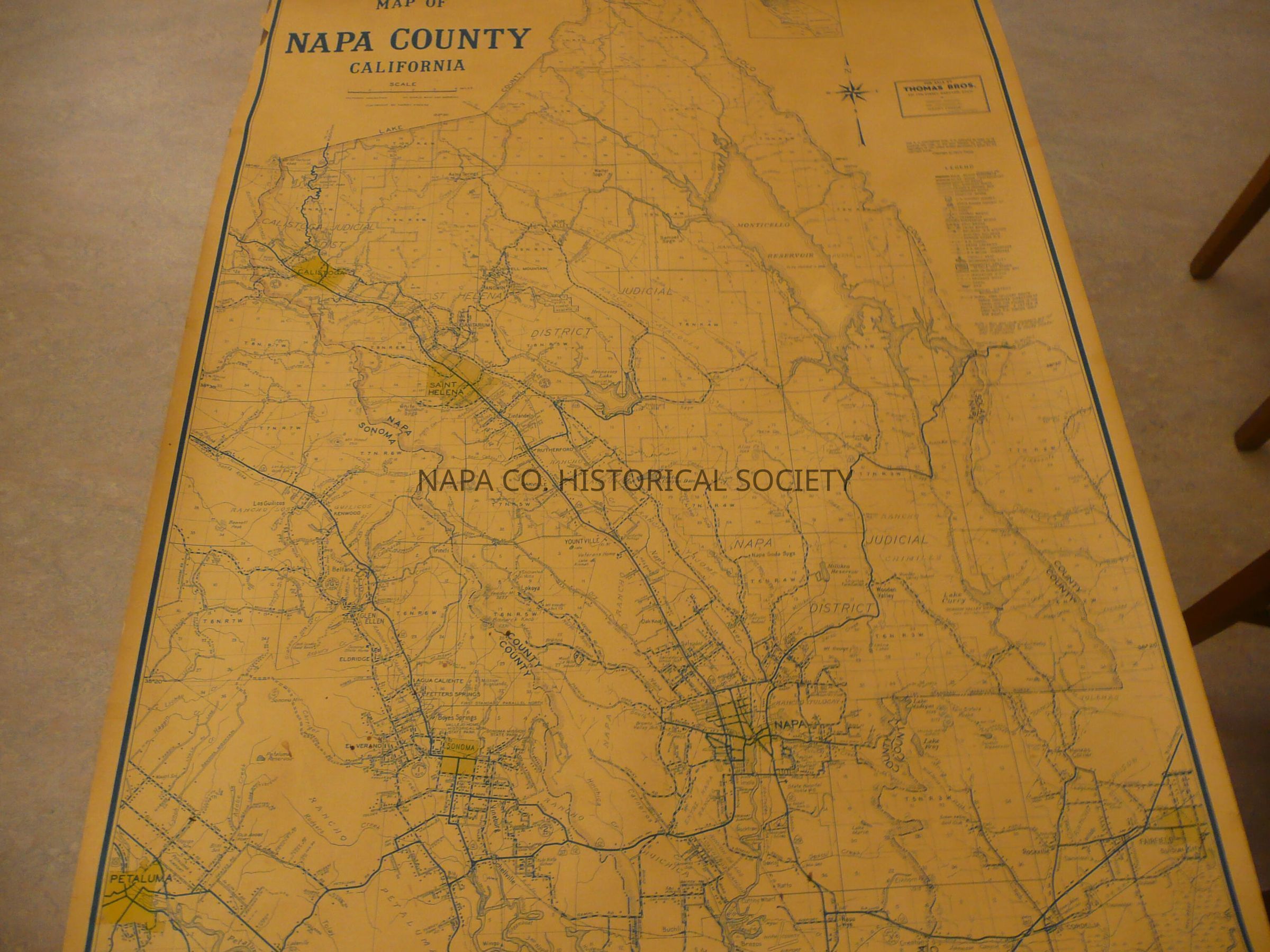
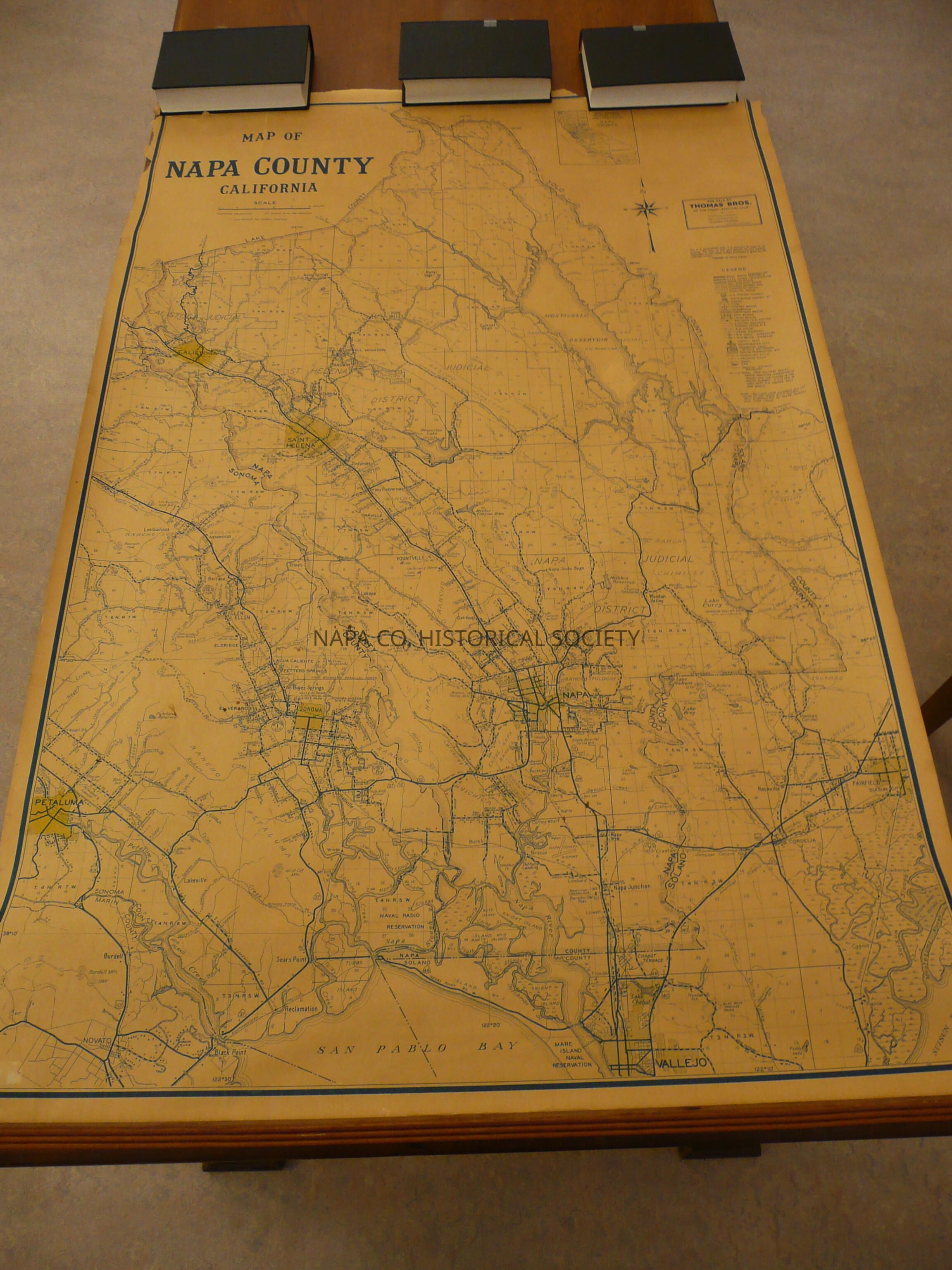
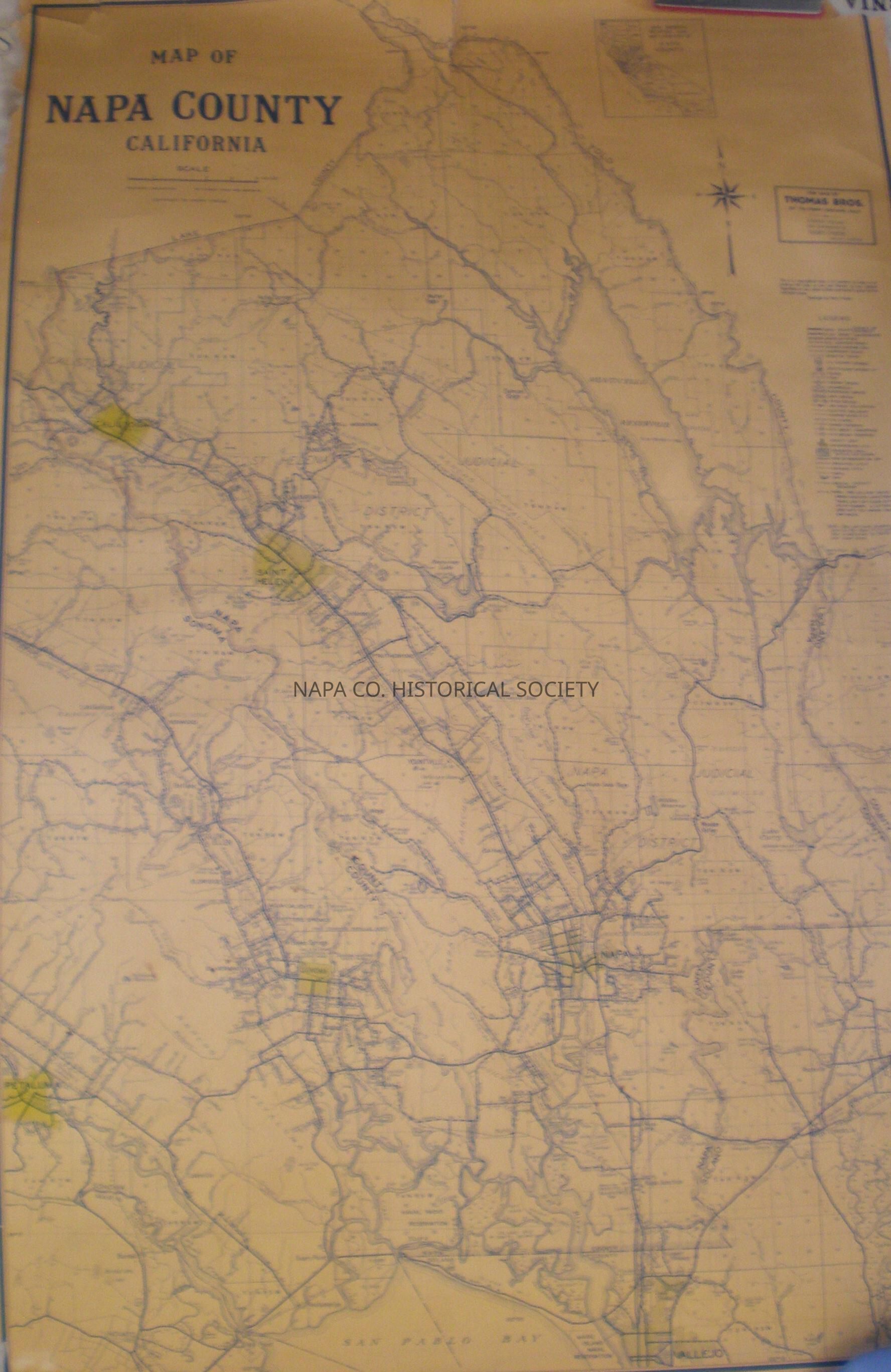
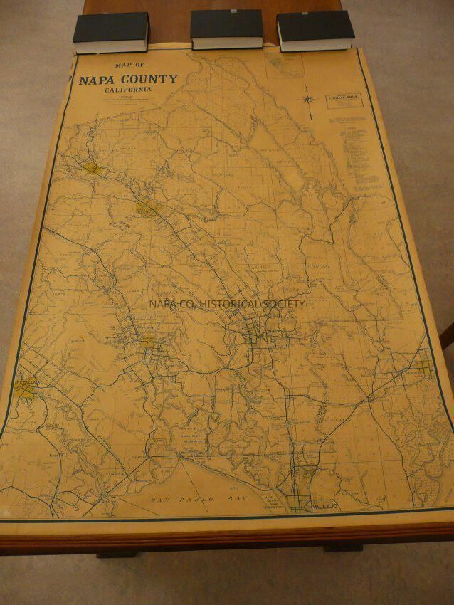
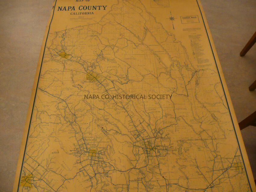
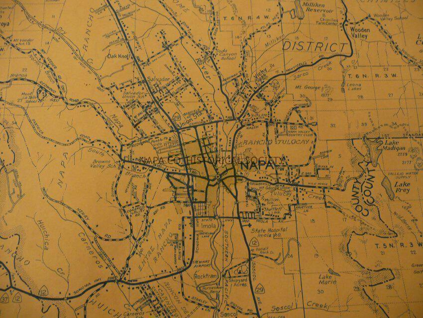
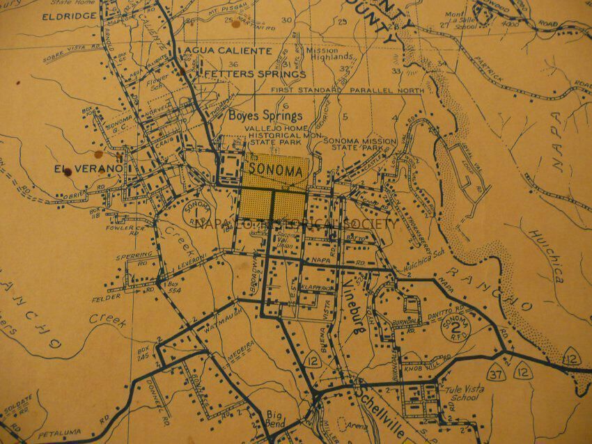
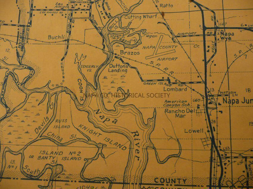
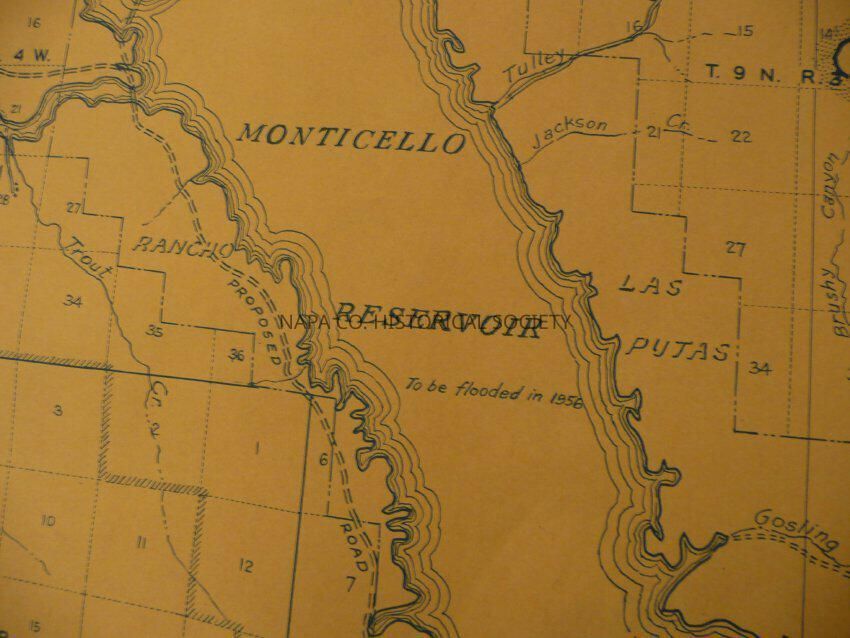
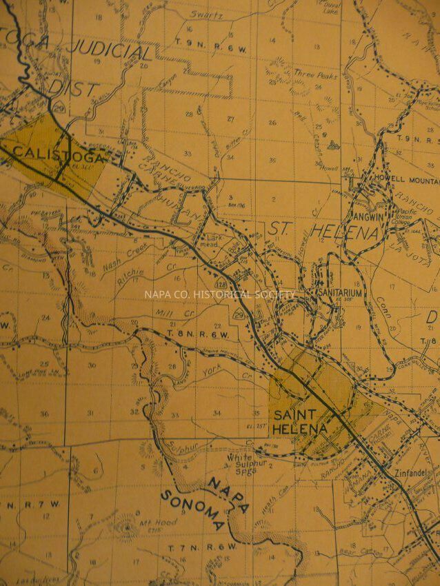
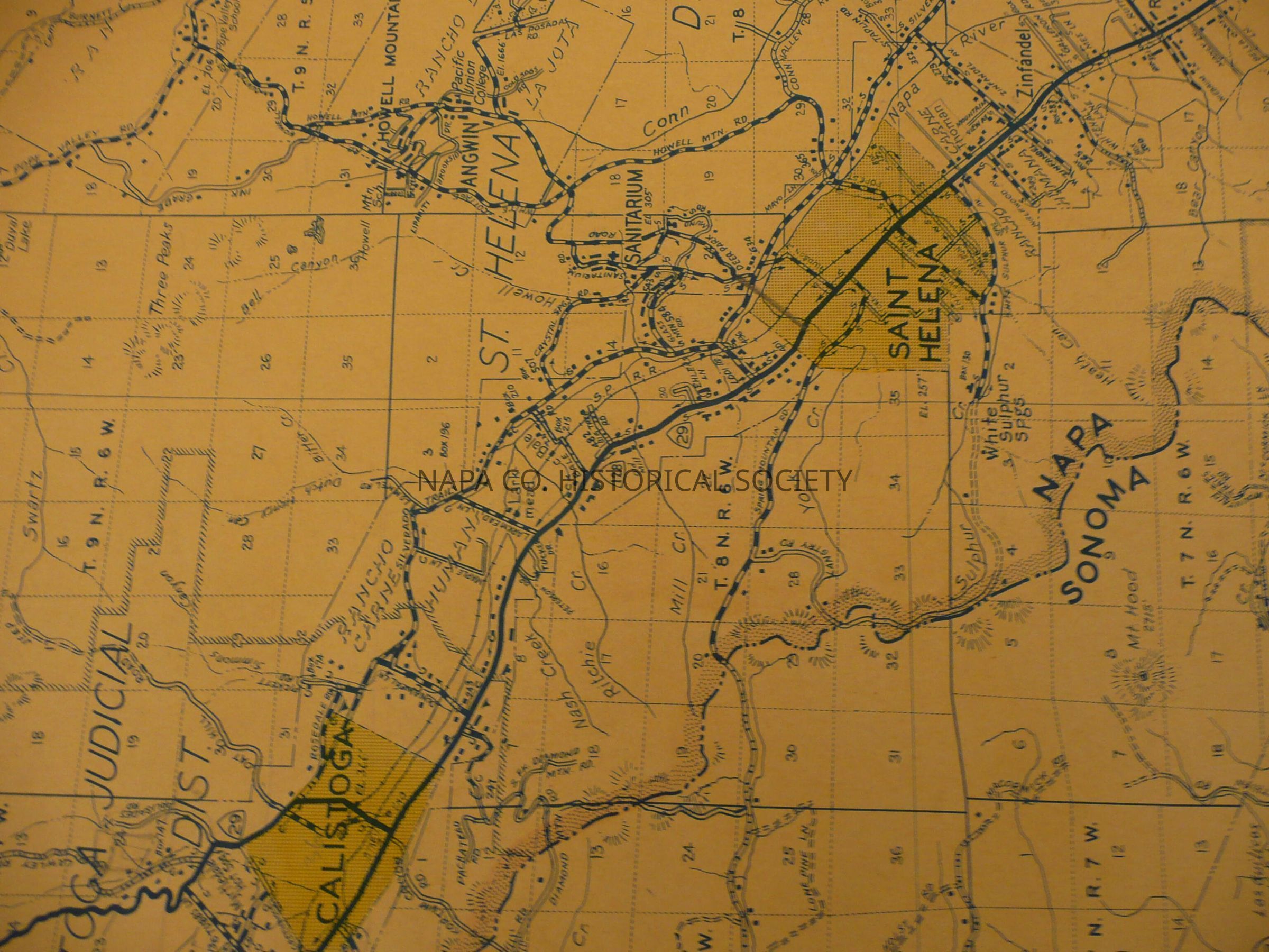
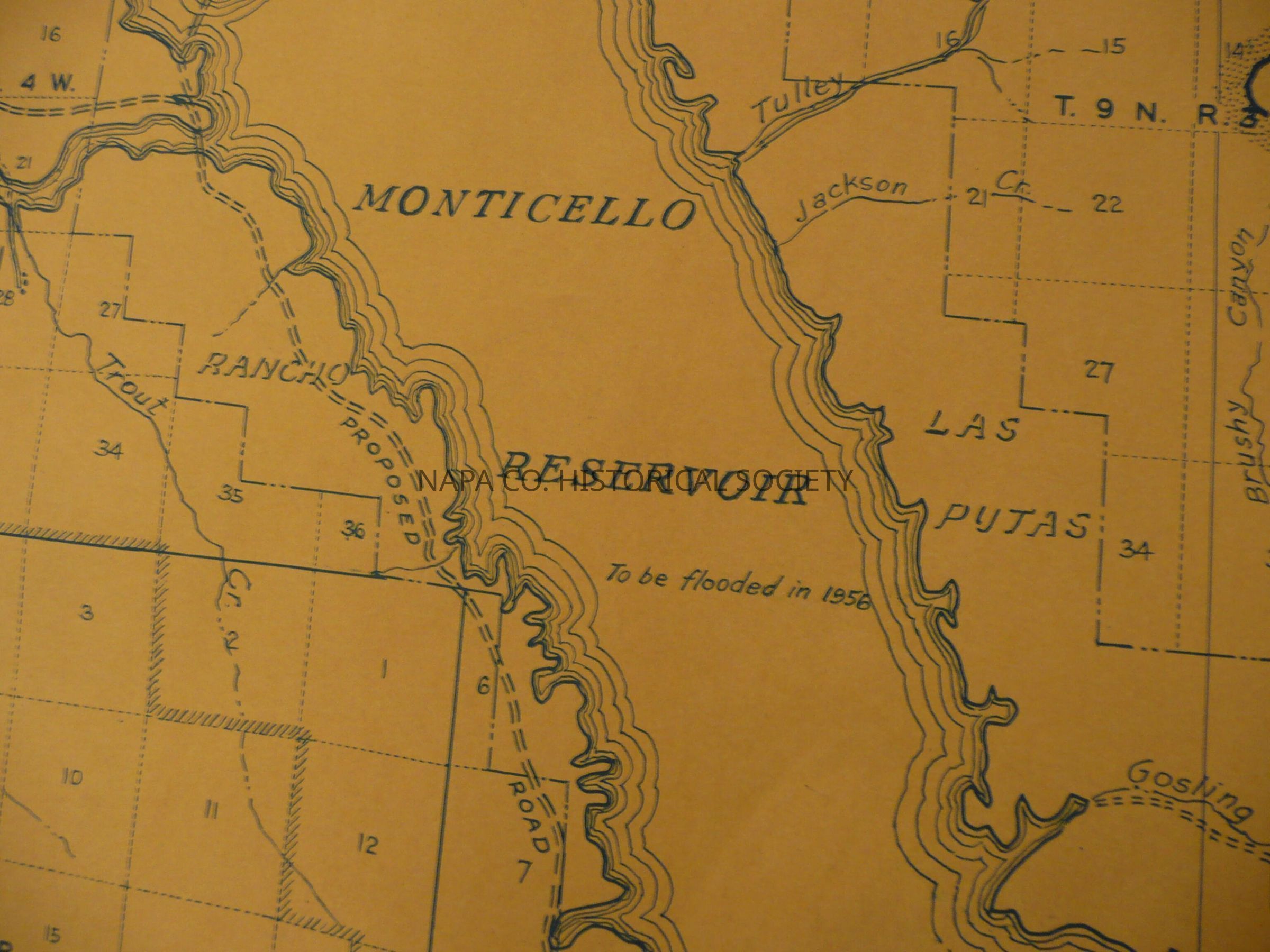
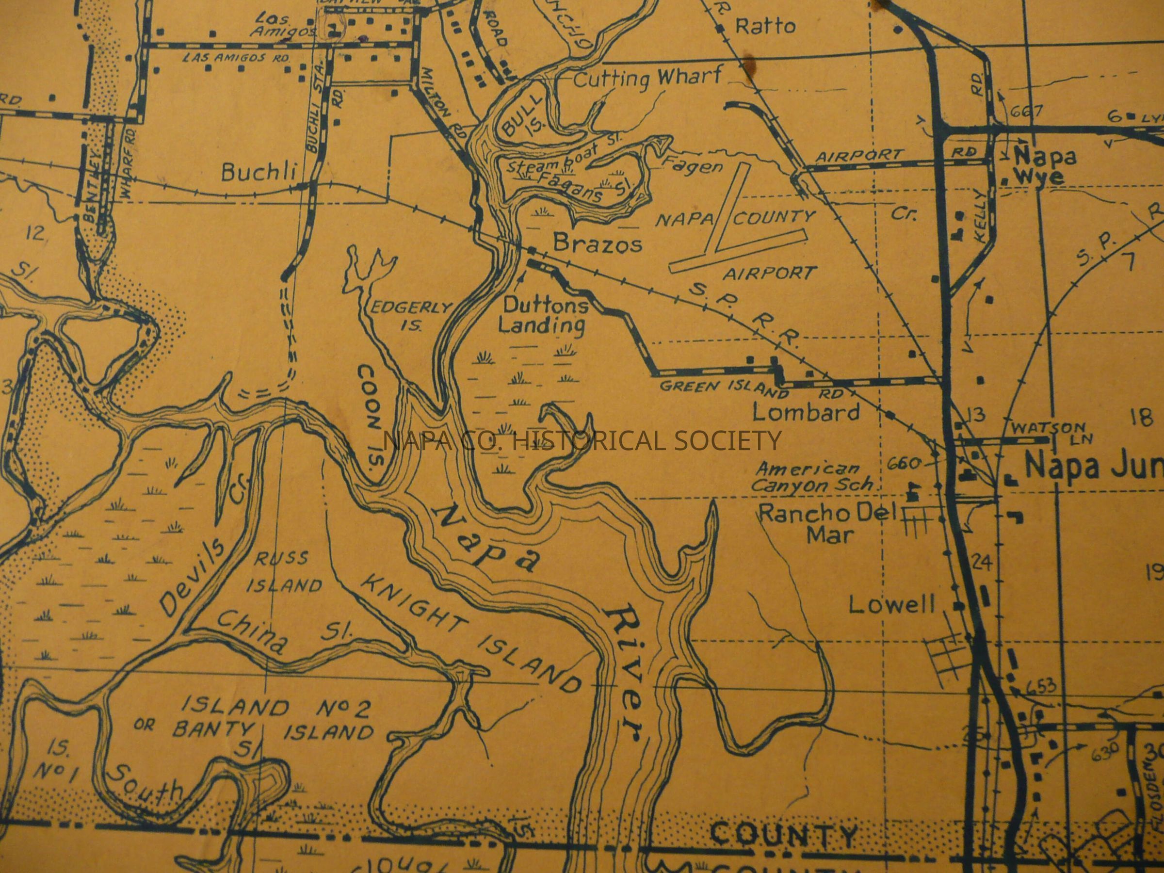
Map of Napa County, undated, but between 1946 and 1956. Map contains the locations of the ranchos and judicial districts, as well as other natural and artificial landmarks. Same map as 2009.62.16

Collection

Maps

Acquisition

Accession

2009.62

Acquisition Method

Gift

Lexicon

Nomenclature 4.0

Nomenclature Secondary Object Term

Map

Nomenclature Primary Object Term

Cartograph

Nomenclature Sub-Class

Graphic Documents

Nomenclature Class

Documentary Objects

Nomenclature Category

Category 08: Communication Objects

LOC Thesaurus for Graphic Materials

Maps

Search Terms

Maps, Napa, Napa County, Mare Island Naval Reservation, Judicial districts, Fairfield, Vallejo, Sonoma, Petaluma, Calistoga, St. Helena, Freese, Harry
Map Details

Area or Region

County

Napa County

State/Province

California

Country

United States

Continent

North America

Place Published

Location

Oakland, CA

Date Published

1946 - 1956

Relationships

Related Person or Organization

Person or Organization

Freese, Harry

Create Date

March 27, 2009

Update Date

November 3, 2022