Map

Name/Title

Map

Entry/Object ID

2009.62.135

Description

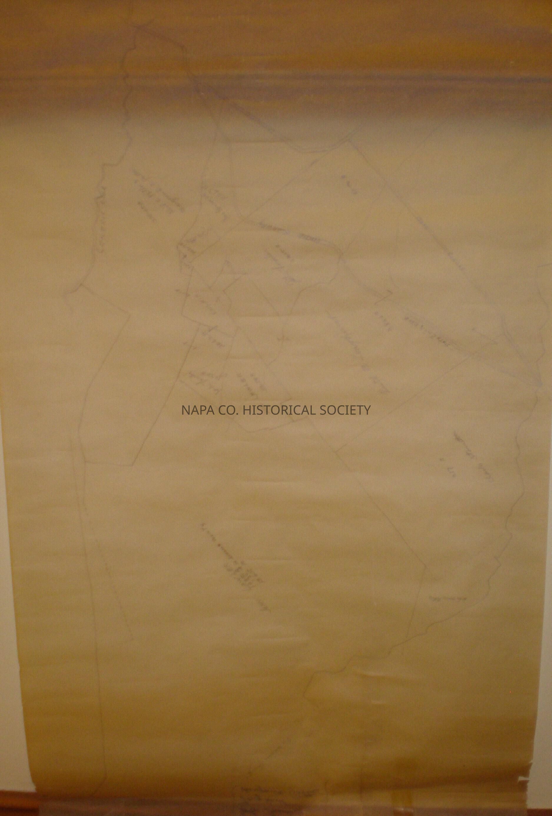
Land Subdivision Map of the Carneros area, includes some of Sonoma County. Undated, spans an area between Carneros Creek, the State Highway and Duhig Road. Believed to be post 1915.

Collection

Maps

Acquisition

Accession

2009.62

Acquisition Method

Gift

Lexicon

Nomenclature 4.0

Nomenclature Secondary Object Term

Map

Nomenclature Primary Object Term

Cartograph

Nomenclature Sub-Class

Graphic Documents

Nomenclature Class

Documentary Objects

Nomenclature Category

Category 08: Communication Objects

LOC Thesaurus for Graphic Materials

Maps, Subdivision of land, Subdivisions (Land)

Search Terms

Lawler, John, Longhurst, Ruth B., Potter, Marguerite C., Potter, Reid C., Stornetta, Charles, Subdivision of land, Subdivisions (Land), Carneros Creek, Duhig Road
Map Details

Area or Region

Location

Napa

Map Notes

Date(s): undated

Relationships

Related Person or Organization

Person or Organization

Lawler, John

Person or Organization

Longhurst, Ruth B.

Person or Organization

Potter, Marguerite C.

Person or Organization

Potter, Reid C.

Person or Organization

Stornetta, Charles

Create Date

April 22, 2009

Update Date

January 5, 2023