Name/Title
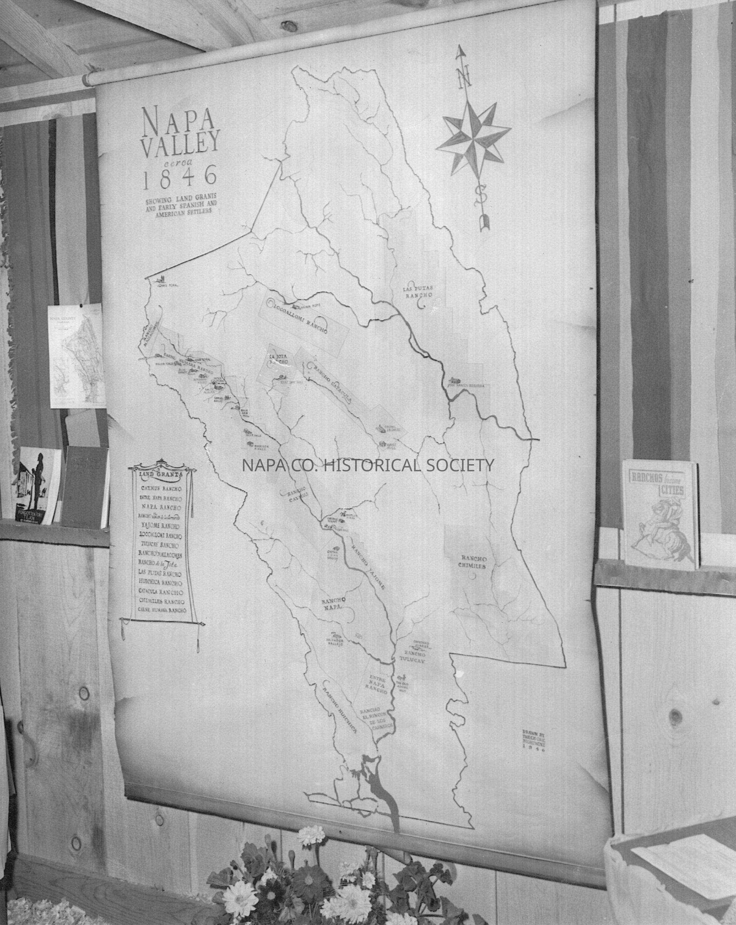
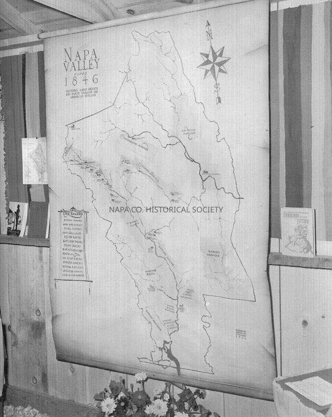
Map of ranchos in 1846Entry/Object ID
2013.2.161Description
Black and white photograph of a map featured in the "La Casita de Los Libros" exhibit. The exhibit was presented by the Napa County Free Library. The map is of the Napa Valley and shows where ranchos were located in 1846. Ranchos shown on the map include: "Caymus Rancho, Entre Napa Rancho, Napa Rancho, Yajome Rancho, Locoallomi Rancho, Tulocay Rancho, Las Puias Rancho, Huichica Rancho, Catacula Rancho, Chimiles Rancho and several others.
PF Location: 144BCollection
PhotographsAcquisition
Accession
2013.2Source or Donor
Various donorsAcquisition Method
GiftLexicon
Nomenclature 4.0
Nomenclature Secondary Object Term
Print, PhotographicNomenclature Primary Object Term
PhotographNomenclature Sub-Class
Graphic DocumentsNomenclature Class
Documentary ObjectsNomenclature Category
Category 08: Communication ObjectsLOC Thesaurus for Graphic Materials
Ranches, Exhibits, MapsSearch Terms
Ranches, Napa County Free Library, Exhibits, Ranchos, MapsCreate Date
July 6, 2013Update Date
June 23, 2021