Napa County Street Map 1966

Map of Napa County

Map of Napa County

Name/Title

Napa County Street Map 1966

Entry/Object ID

1984.16.11

Description

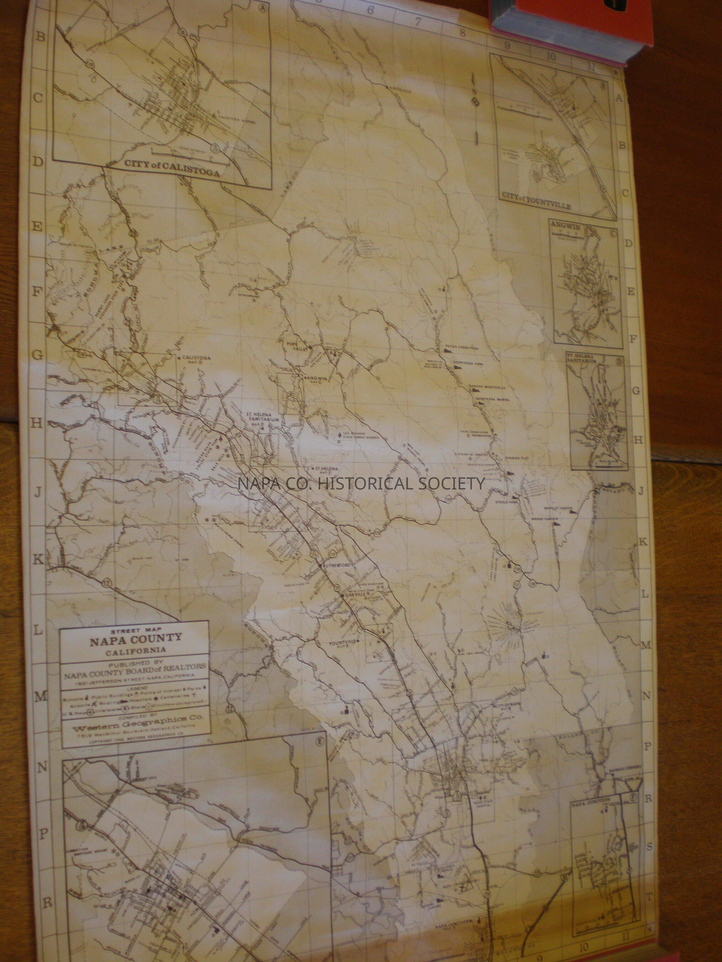
Street Map Napa County California, 1966. Compiled by Western Geographics Co. of Oakland, CA. Cartography by Ralph L. Young. Contains Napa County landmarks, although there is no key for the unlabelled locations. Same as 2009.62.27 Insets: St. Helena, Napa Junction, St. Helena Sanitarium, Angwin, Yountville, Calistoga

Collection

Maps

Acquisition

Accession

1984.16

Source or Donor

Napa Chamber of Commerce

Acquisition Method

Gift

Lexicon

Nomenclature 4.0

Nomenclature Secondary Object Term

Map

Nomenclature Primary Object Term

Cartograph

Nomenclature Sub-Class

Graphic Documents

Nomenclature Class

Documentary Objects

Nomenclature Category

Category 08: Communication Objects

Search Terms

Christian Brothers Mont La Salle Winery, Napa Soda Springs, White Sulphur Springs, Putah Creek Park (resort), Berryessa Park, Berryessa Marina, Rancho Monticello, Spanish Flat, Steele Park, Boy Scouts Camp Berryessa, Mt. Millhouse Girl Scout Camp, Aetna Springs, St. Helena, St. Helena Sanitarium, Napa Junction, Angwin, Calistoga, Yountville, Young, Ralph L.
Map Details

Area or Region

County

Napa County

State/Province

California

Country

United States

Continent

North America

Place Published

Location

1621 Jefferson St., Napa, CA

Date Published

1966

Publication Language

English

Relationships

Related Person or Organization

Person or Organization

Young, Ralph L.

Create Date

March 25, 2009

Update Date

April 5, 2024