HUB
Collections
Classifications
About
App
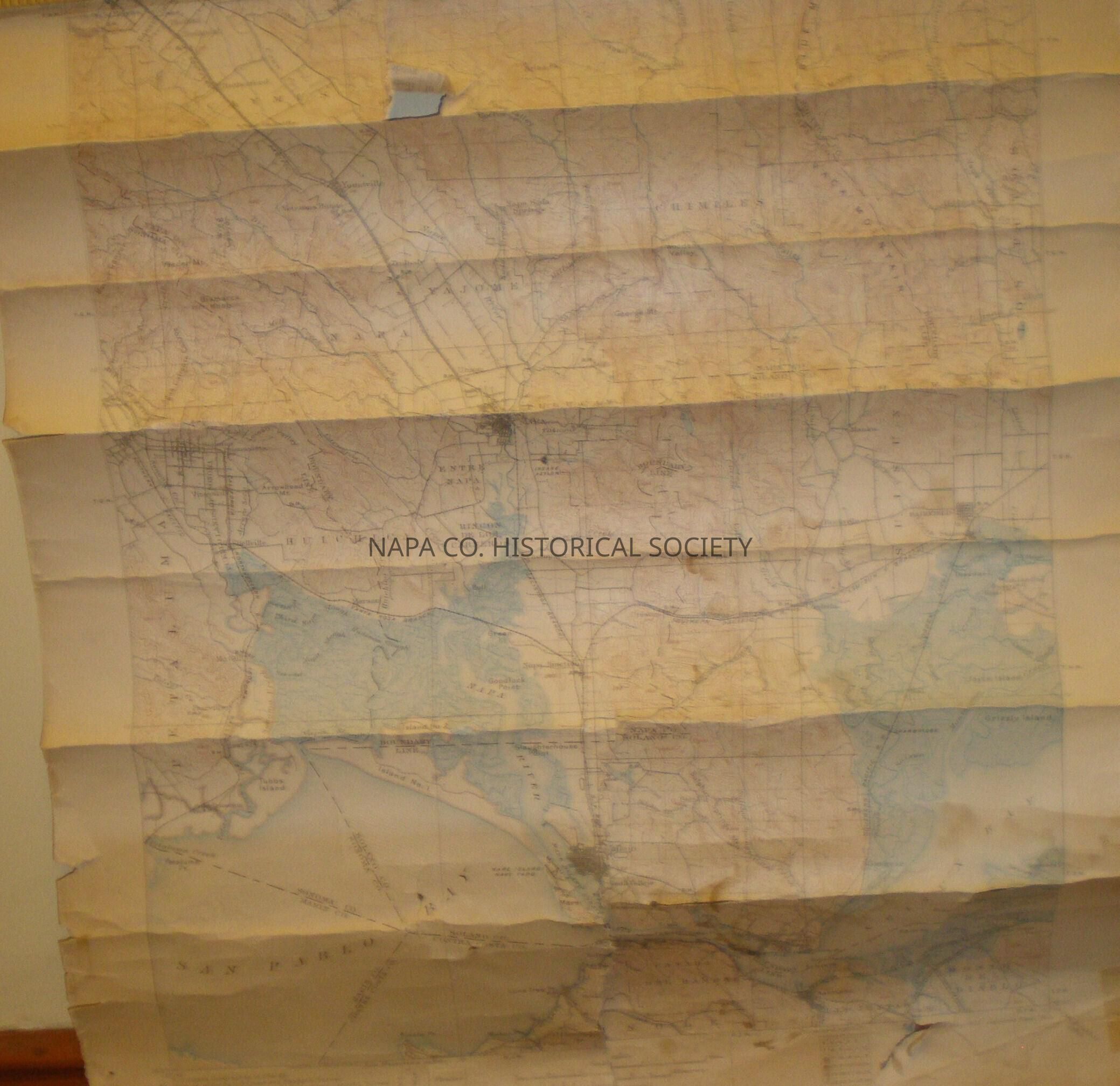
Napa County Topographic Map 1886 &1889
Map
-
Napa County Historical Society
Name/Title
Napa County Topographic Map 1886 &1889
Entry/Object ID
1983.5.21g
Description
Topographic Map of Napa County, South of St. Helena down to Vallejo, map surveyed in 1896 and 1899, printed in 1902 and reprinted in 1905 Location: Flat Map box #1, map 49
Collection
Maps
Acquisition
Accession
1983.5
Source or Donor
Estate of Herb McCann
Acquisition Method
Gift
Credit Line
Herb McCann
Lexicon
Nomenclature 4.0
Nomenclature Secondary Object Term
Map
Nomenclature Primary Object Term
Cartograph
Nomenclature Sub-Class
Graphic Documents
Nomenclature Class
Documentary Objects
Nomenclature Category
Category 08: Communication Objects
LOC Thesaurus for Graphic Materials
Maps,
Topographic maps
Search Terms
Napa,
Maps,
Napa County,
Topographic maps
Map Details
Area or Region
County
Napa County
State/Province
California
Country
United States
Continent
North America
Map Notes
Date(s): 1902/1905
Create Date
April 2, 2009
Update Date
April 5, 2024