Name/Title
Framed Provincial MapEntry/Object ID
MM.2023.3561Description
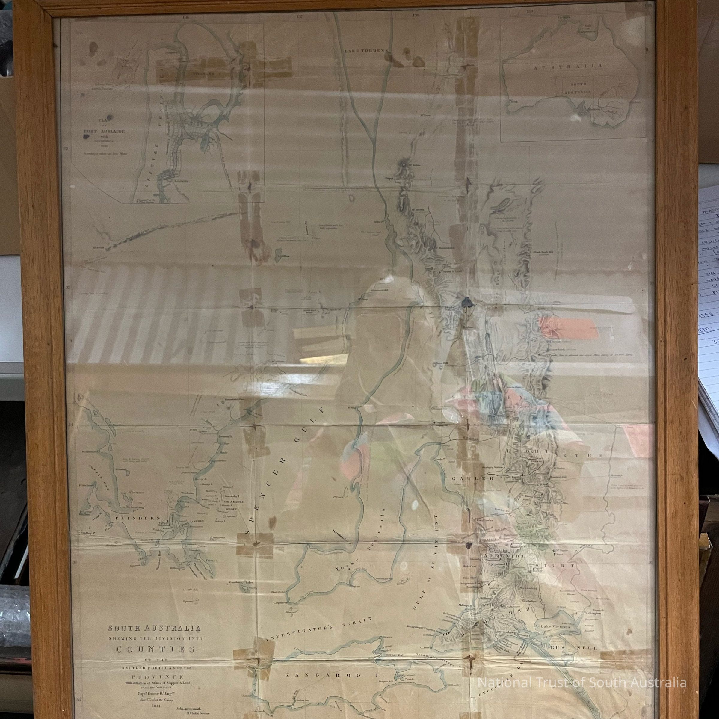
Framed map demonstrating the “division into counties of the settled portions of the province” of South Australia, with reference to mines of copper and lead.Collection
Moonta Mines Museum