Topographical Map of Port Hope
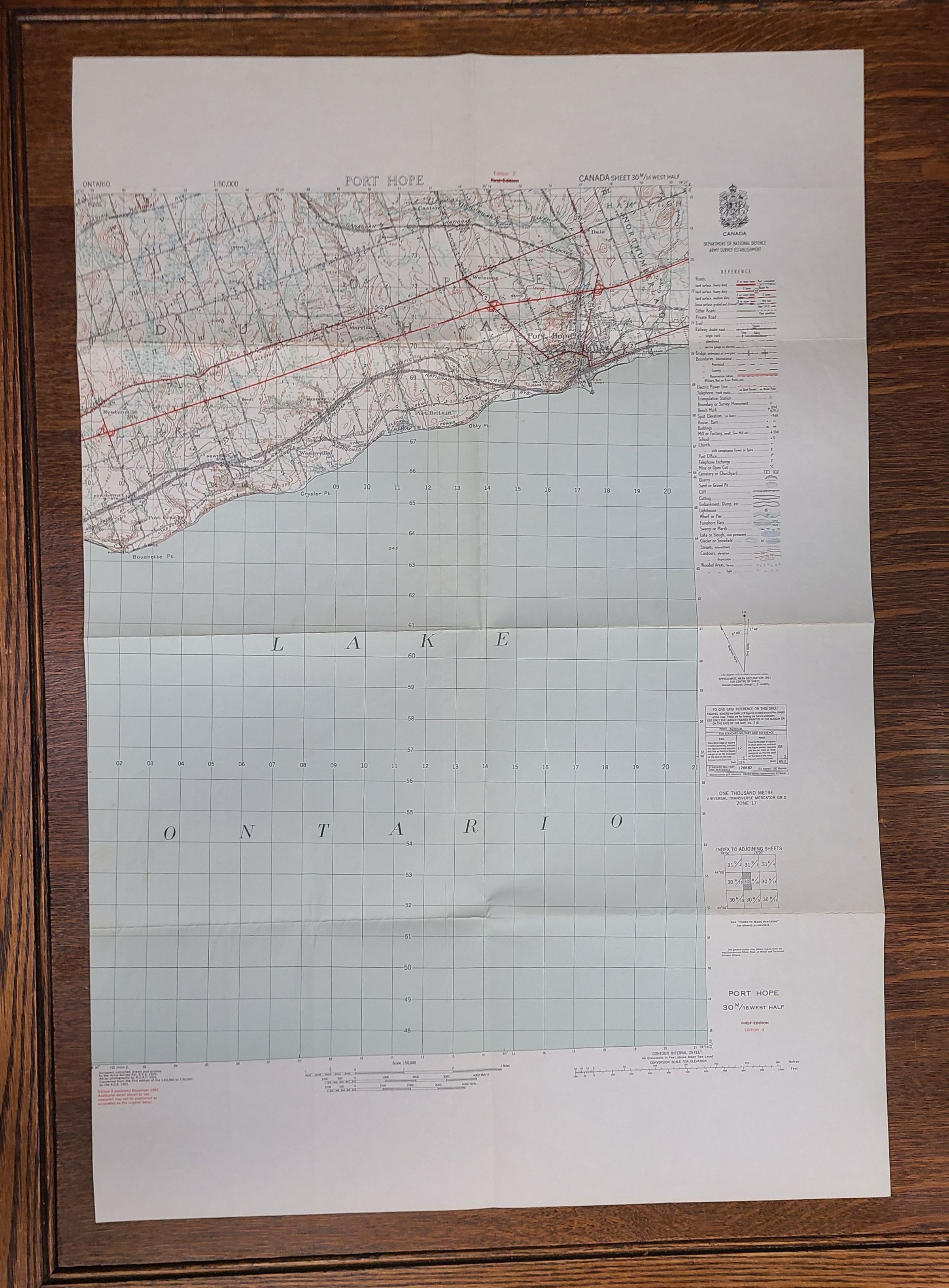
A topographical map of the Port Hope area.
The image shows a detailed topographical map depicting Port Hope and the surrounding region, including part of Lake Ontario, with grid lines and geographical coordinates. The map includes various annotations, roads, and natural features.