Topographical Map of Rice Lake Area
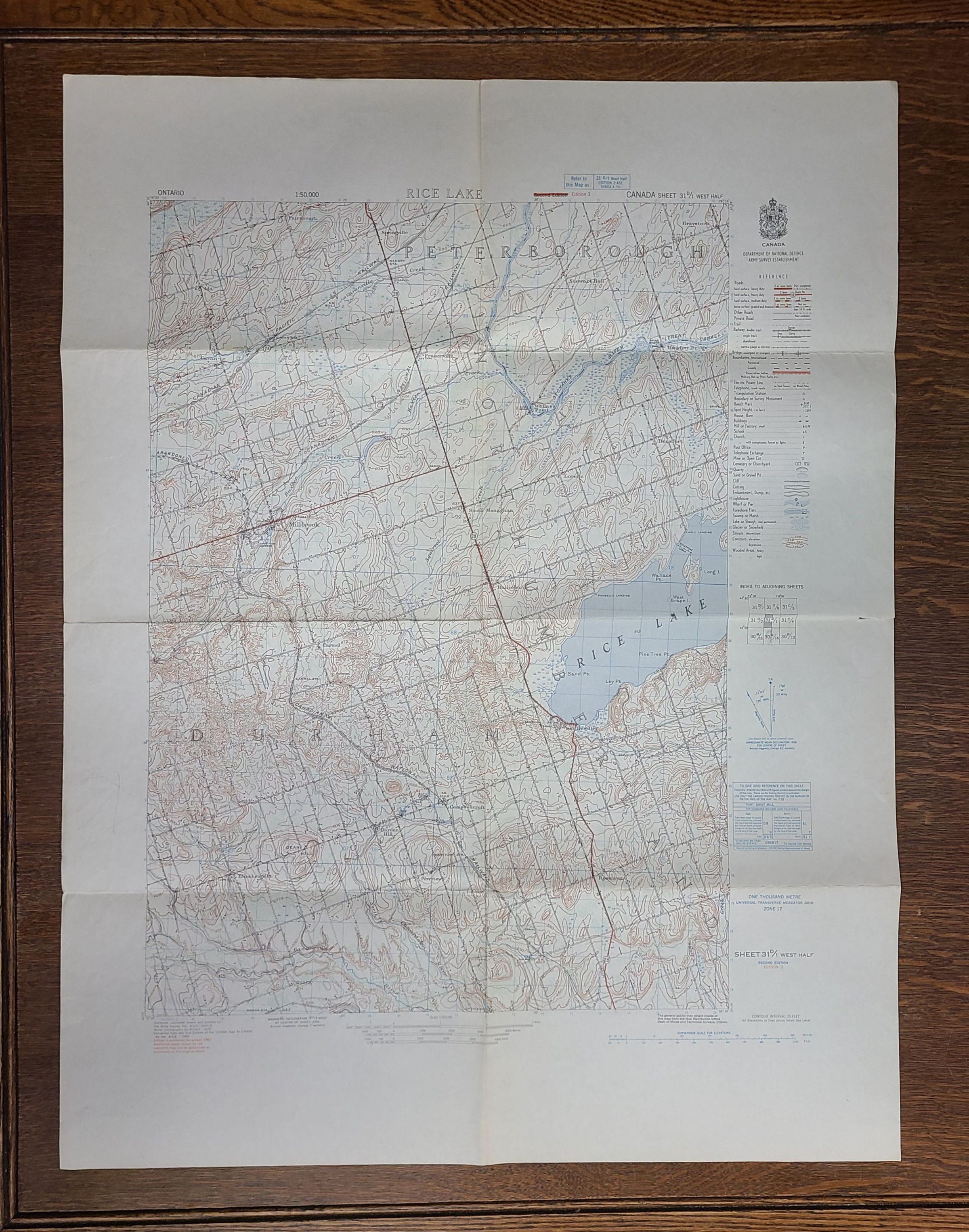
A topographical map of the Rice Lake area: The image shows a vintage topographic map of the Peterborough area, including Rice Lake, with contour lines and geographical features marked, providing detailed information on the region's elevation, roads, and bodies of water.
A topographical map of the Rice Lake area

The image shows a vintage topographic map of the Peterborough area, including Rice Lake, with contour lines and geographical features marked, providing detailed information on the region's elevation, roads, and bodies of water.

Name/Title

Topographical Map of Rice Lake Area

Entry/Object ID

2026.20.3

Description

The image shows a vintage topographic map of the Peterborough area, including Rice Lake, with contour lines and geographical features marked, providing detailed information on the region's elevation, roads, and bodies of water.