Unnamed Village Survey
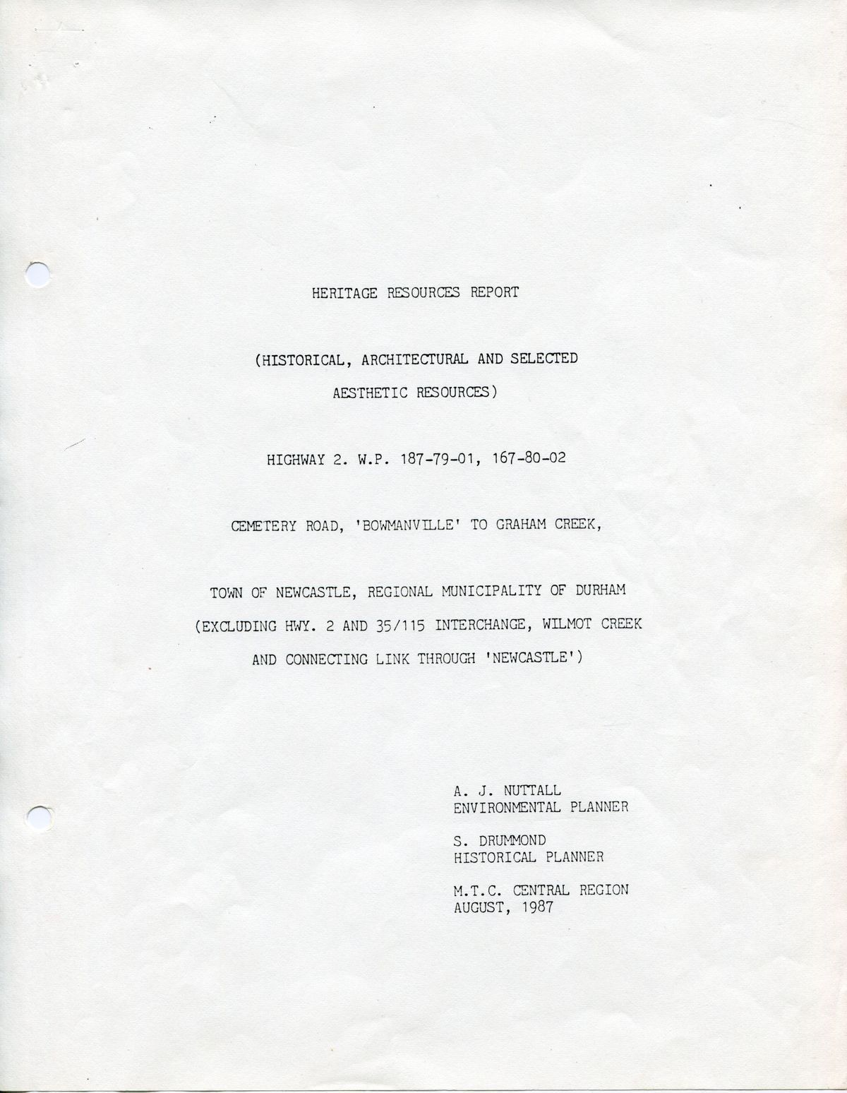
Village survey: The image shows a report titled "Heritage Resources Report" focusing on historical, architectural, and aesthetic resources. It covers Highway 2, Cemetery Road in "Bowmanville," and the town of Newcastle.
Village survey

The image shows a report titled "Heritage Resources Report" focusing on historical, architectural, and aesthetic resources. It covers Highway 2, Cemetery Road in "Bowmanville," and the town of Newcastle.

Name/Title

Unnamed Village Survey

Entry/Object ID

2018.29.37

Scope and Content

HERITAGE RESOURCES REPORT (HISTORICAL, ARCHITECTURAL AND SELECTED AESTHETIC RESOURCES) HIGHWAY 2. W. P/ 187-79-01, 167-80-2 CEMTERY ROAD, 'BOWMANVILLE' TO GRAHAM CREEK, TOWN OF NEWCASTLE, REGIONAL MUNICIPALITY OF DURHAM (EXCLUDING HWY. 2 AND 35/115 INTERCHANGE, WILMOT CREEK AND CONNECTING LINK THROUGH 'NEWCASTLE') A. J. NUTTALL ENVIRONMENTAL PLANNER S. DRUMMOND HISTORICAAL PLANNER M. T. C. CENTRAL REGION AUGUST, 1987