Name/Title
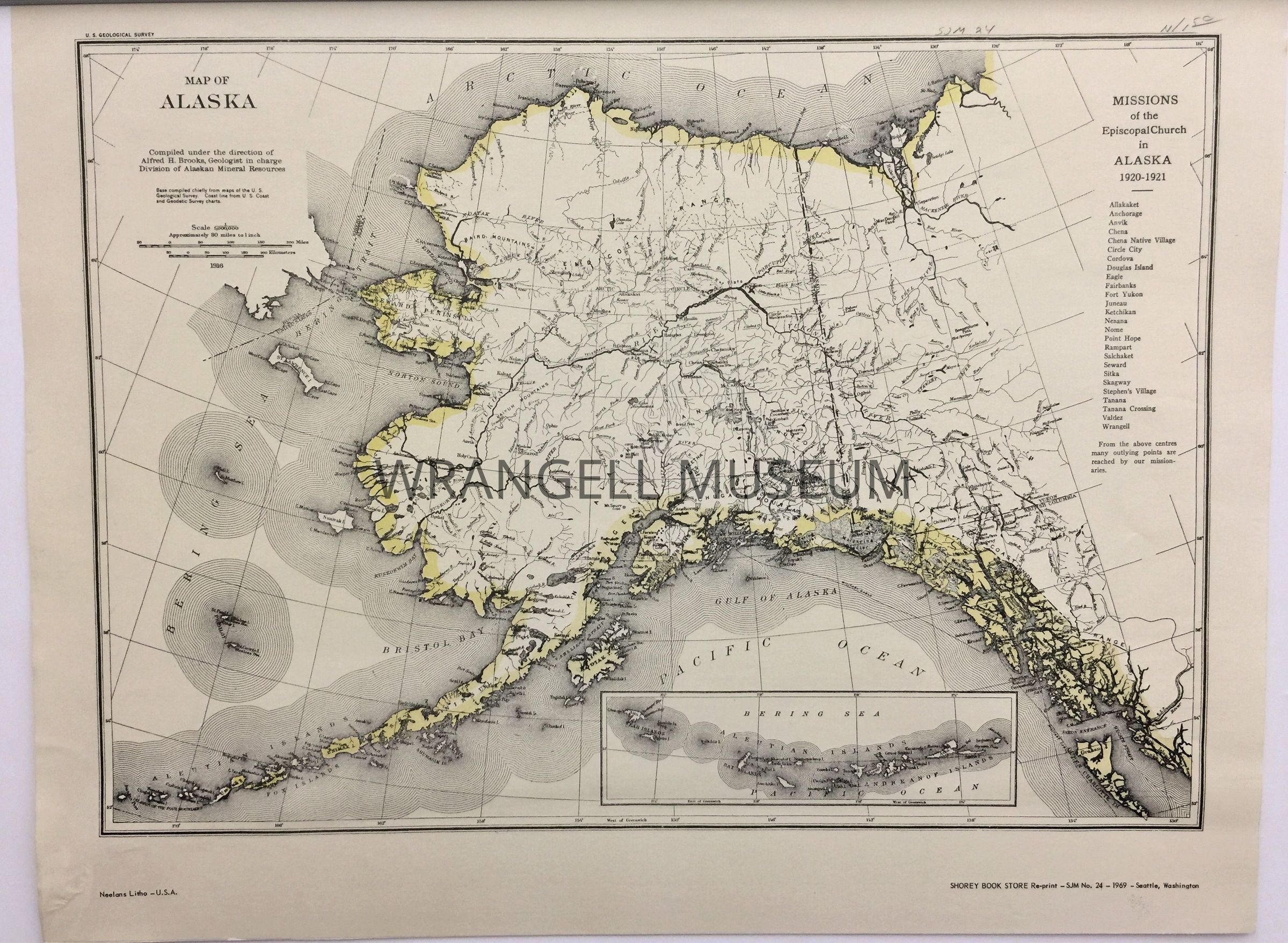
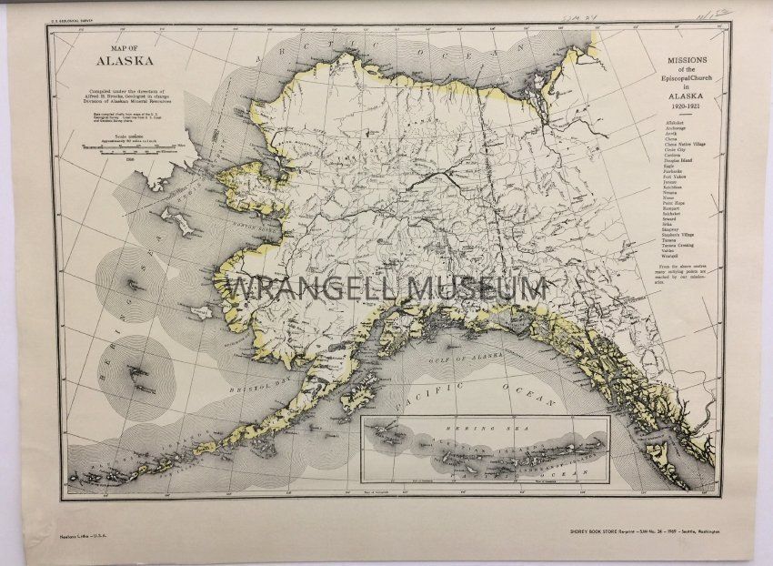
1916 Map of AlaskaEntry/Object ID
1998.191.502Scope and Content
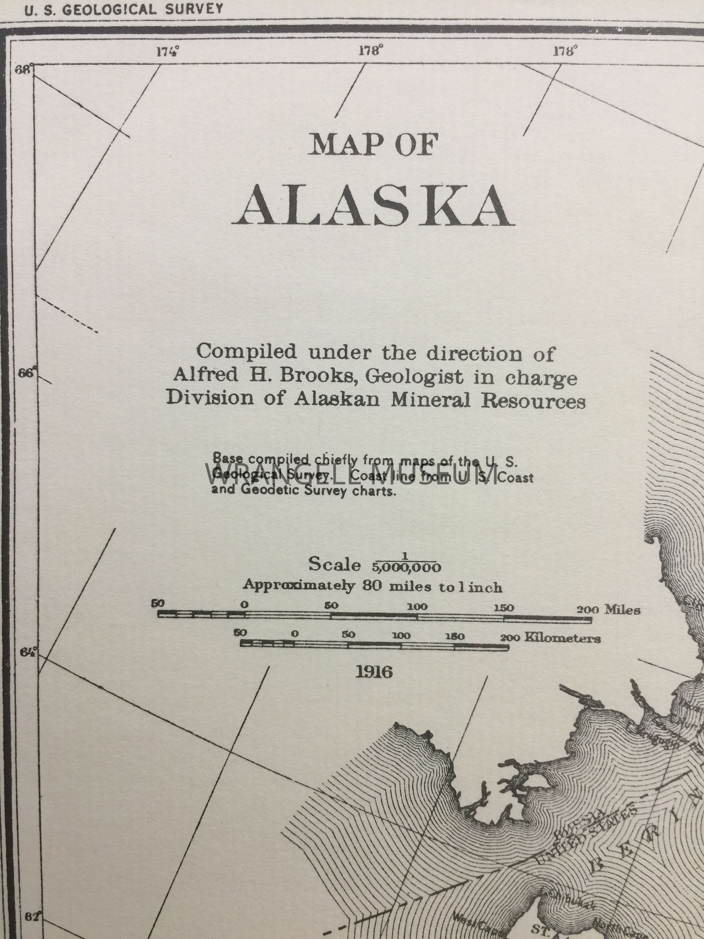
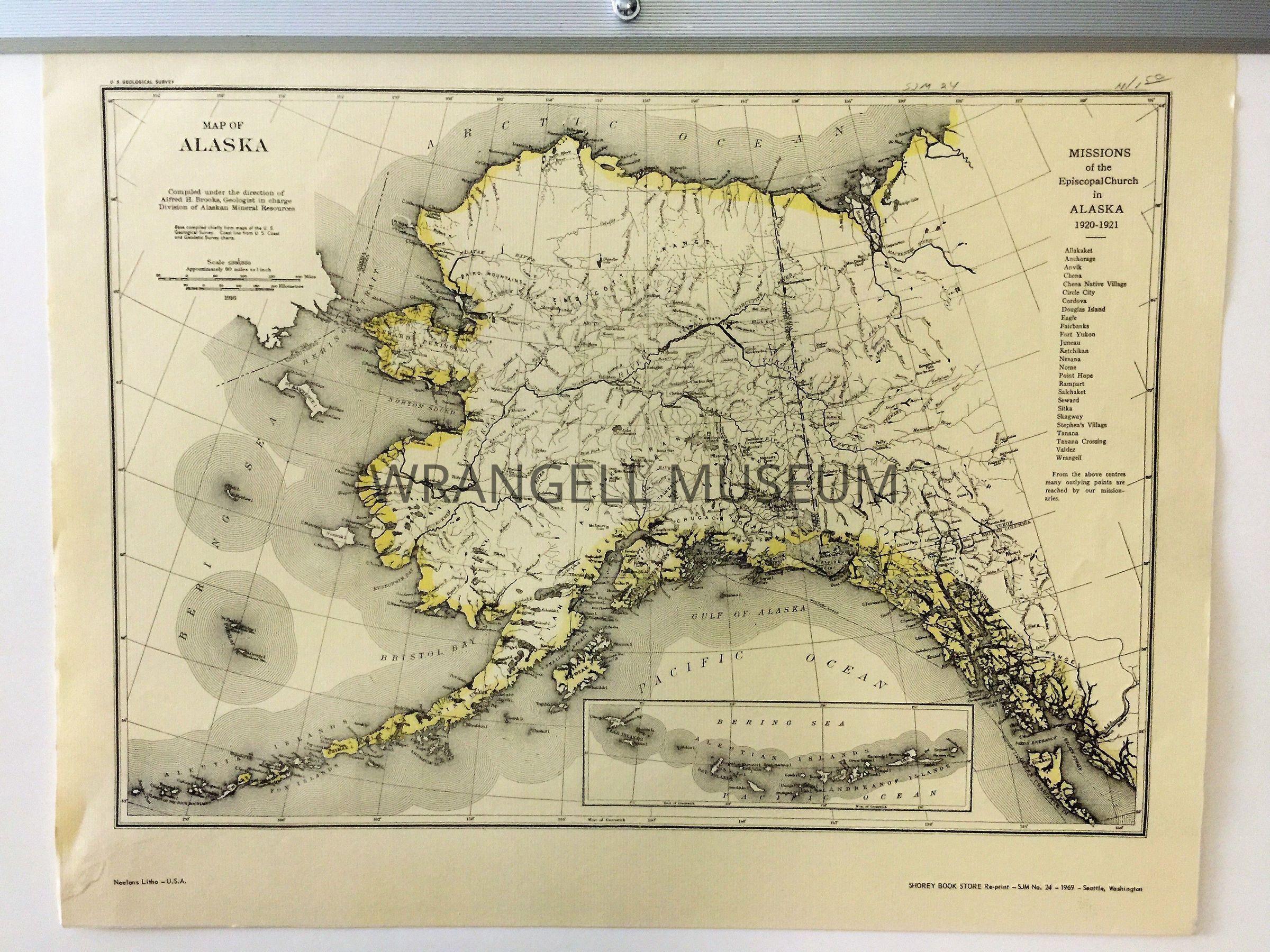
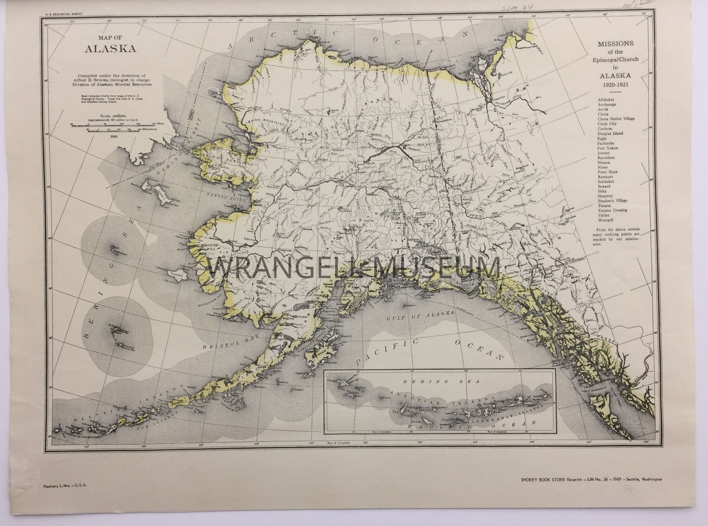
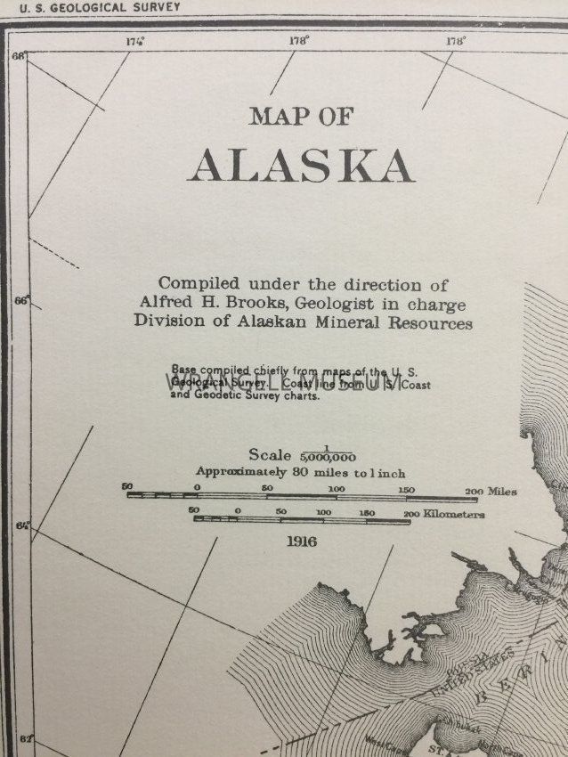
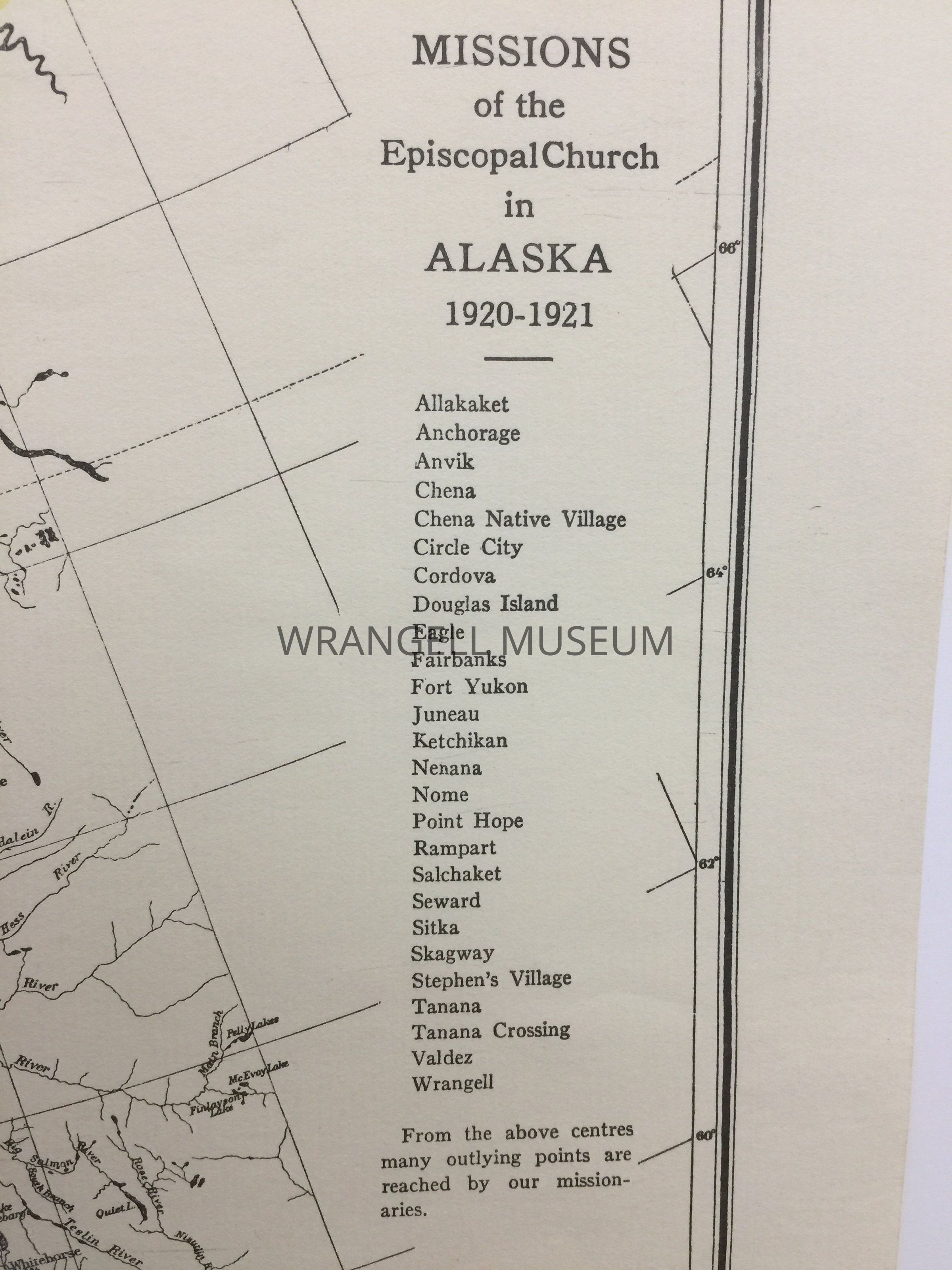
A 1916 map of Alaska compiled under the direction of Alfred H. Brooks, Geologist in charge Division of Alaskan Mineral Resources. Base complied chiefly from maps of the U.S. Geological Survey, coast line from the U.S. coast and Geodetic Survey charts. Scale 1/5,000,000 approximately 80 miles to 1 inch. On the proper left of the map, a list of places in Alaska that are reached by the missions of the Episcopal church, 1920-1921. Reprint by Shorey Book Store -SJM No.12 - 1969, Seattle Washington. Lithograph by Neelans.
Inset: Aleutian Islands