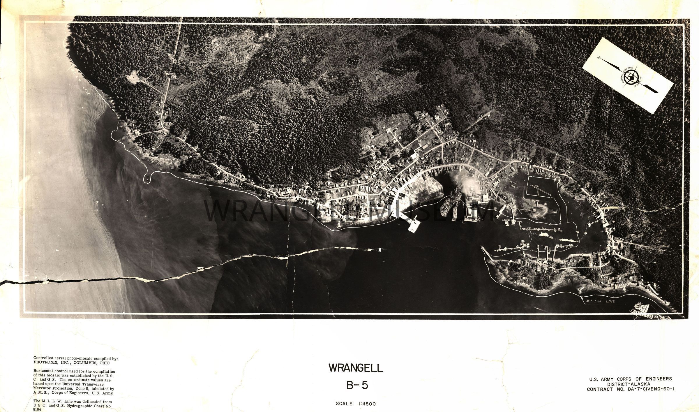
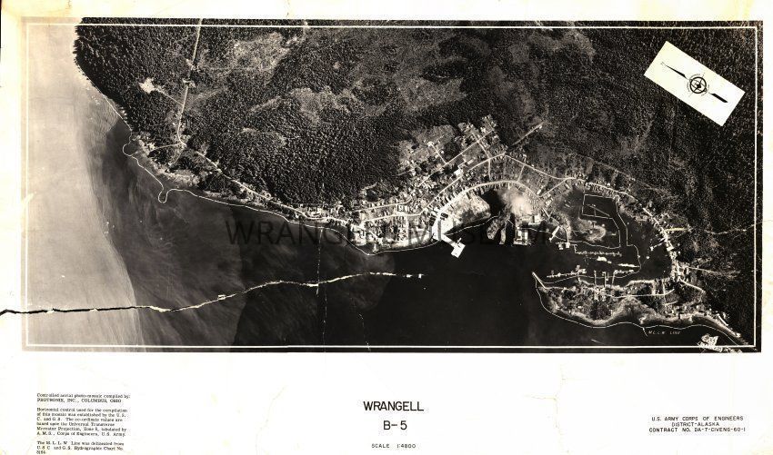
Controlled aerial photo-mosaic of Wrangell (B-5), with a scale of 1:4800, compiled by Photomix Inc., Columbus, Ohio. Horizontal control used for the compilation of this mosaic was established by U.S.C. and G.S.. The coordinate values are based upon the Universal Transverse Mercator Projector, Zone 8, tabulated by A.M.S., Corps of Engineers, U.S. Army. The M.L.L.W. line was delineated from U.S.C. and G.S. Hydrographic chart no. 8164.
Contract # DA-7-CIVENG-60-I.