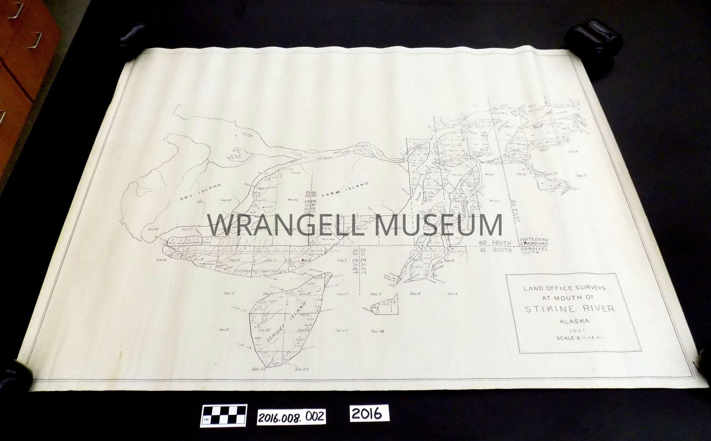
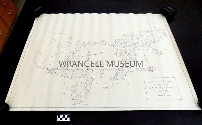
Land Office Survey (GLO) of the mouth of Stikine River, AK
Entry/Object ID
2016.008.501
Scope and Content
Map of Stikine River Alaska 1941, with a scale of 2inches:1mile. Includes Dry Island, Sergief, Farm Island and areas up the Stikine beyond Andrews Creek.