Name/Title
MapEntry/Object ID
2005.003.501Scope and Content
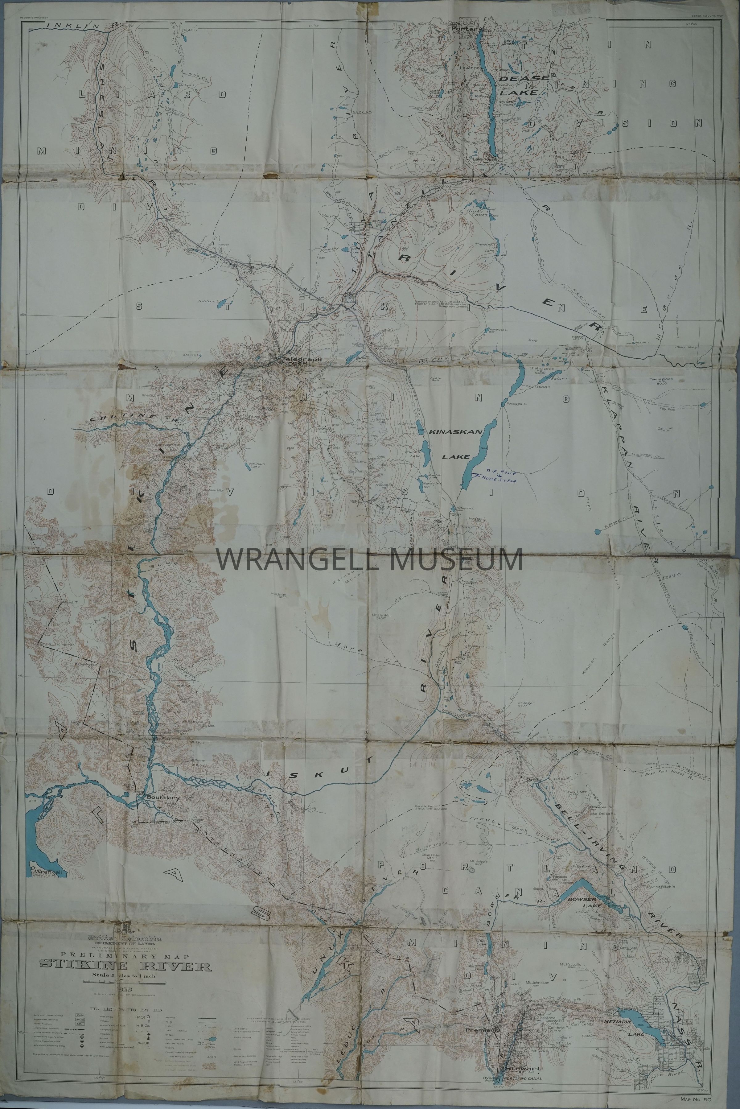
Edition 1st June 1929 preliminary map of the Stikine River, by the British Columbia Department of Land under Honorable F.O. Burden as Minister, J.E. Umbac as Surveyor General and G.G. Aitken as Chief Geographer (author). The map has a scale of 5 miles to 1 inch. Note; map No. 5 C, The outline of surveyed mineral claim area appear upon this map.