Name/Title
MapEntry/Object ID
1998.175.503Scope and Content
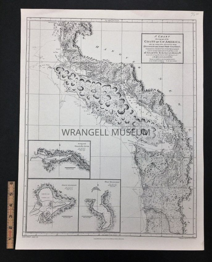
Map, a chart showing (shewing) part of the Coast of NW America, with the tracks of His Majesty's sloop, discovery and armed tender Chatham, commanded by George Vancouver Efg and prepared under his immediate inspection by Lieu. Joseph Baker, in which the continental shore has been traced and determined from Lat: 45.30 N and Long: 23 6.12E to Lat: 52.45N and Long: 32 2.40E at the different periods shewn by the tracks.
Inset: Entrance of Columbia river, Gray's Harbour, and Port Discovery. Reprint by Shorey Book Store SJM-41 4/74. Published in London May 1, 1798 by J. Edwards Pall Mall and G. Robinson Paternoster Row. Printed black and white.