Name/Title
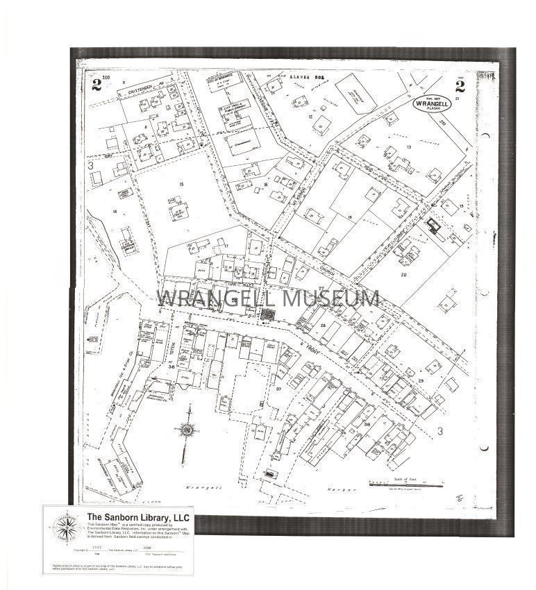
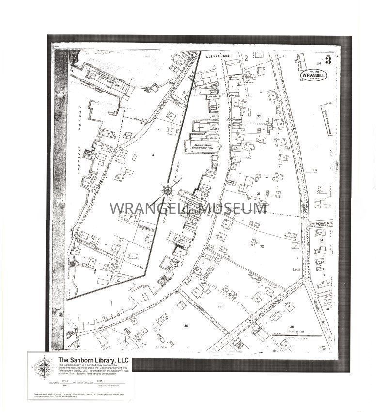
Sanborn Map Report 1933Entry/Object ID
2000.050.503Scope and Content
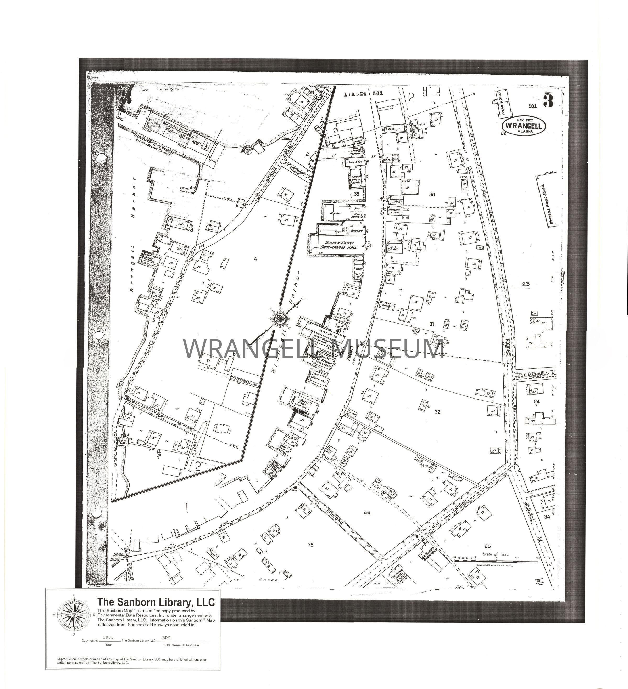
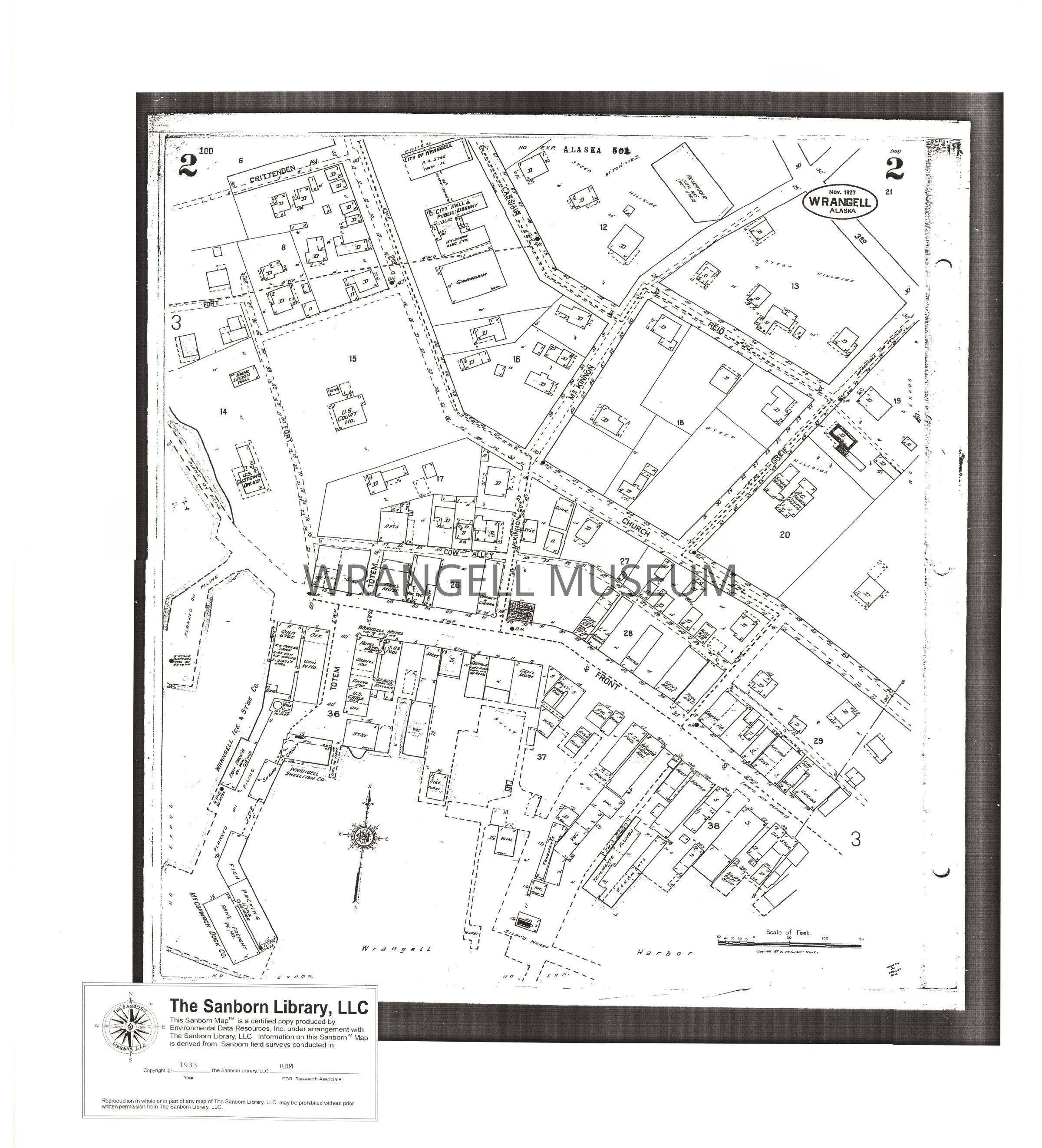
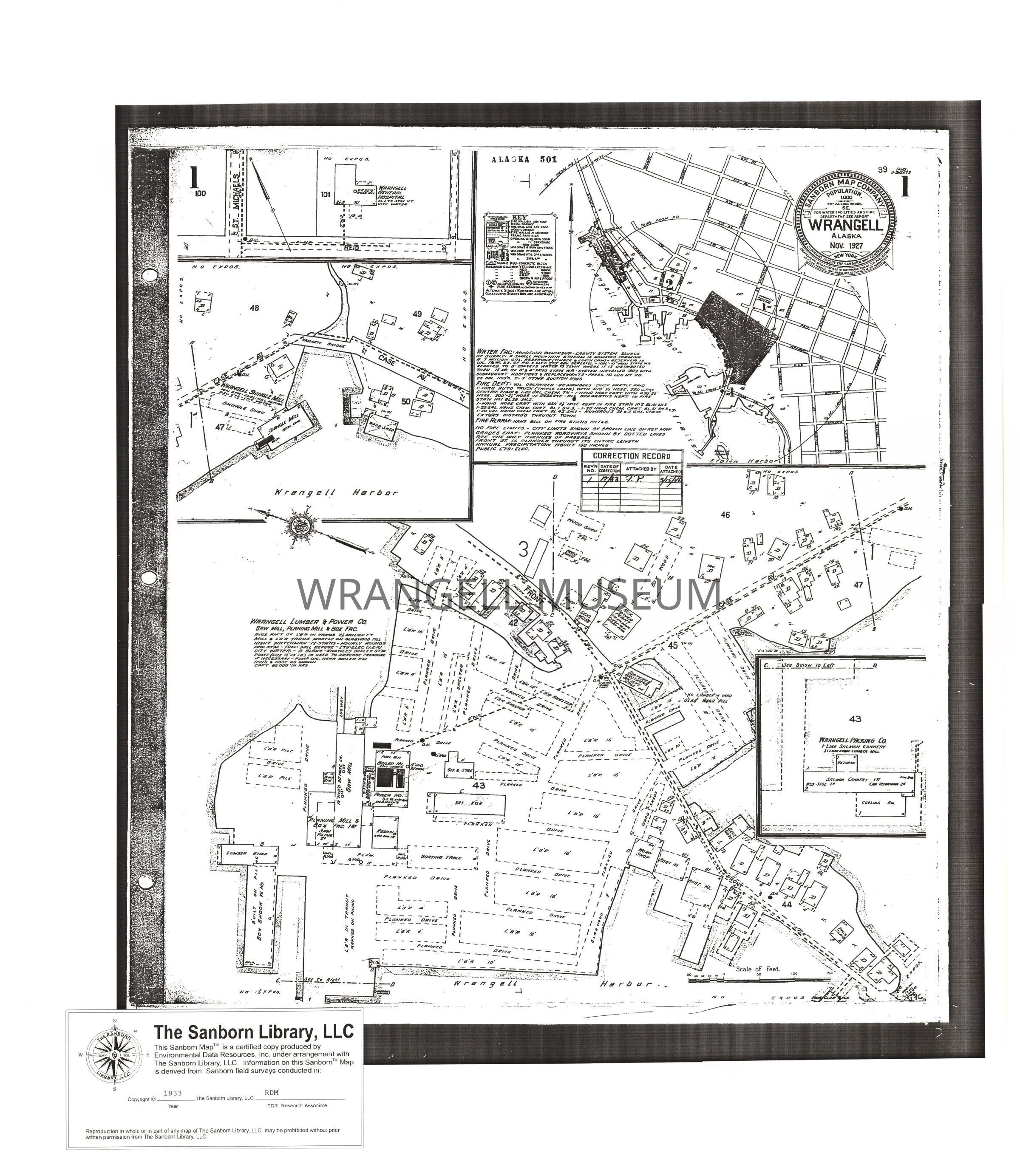
Map, Sanborn Map Report ,1933 Fire insurance map of Wrangell, Ak. Sanborn Maps are large scale lithographed street plans at a scale of 50 feet to one inch (1:600). The maps are created for insurance companies to determine liability of a particular building through all information included in the map. The Sanborn map are a useful resource for historical research, planning, preservation, genealogical research, sociological studies and research of urban geography. Each map group per year has 3 sheets which cover the whole area. From 1927 map report with corrections and updates for 1933.