Name/Title
Official Maps of the Sudbury/Manitoulin AreasEntry/Object ID
2021.453.01Description
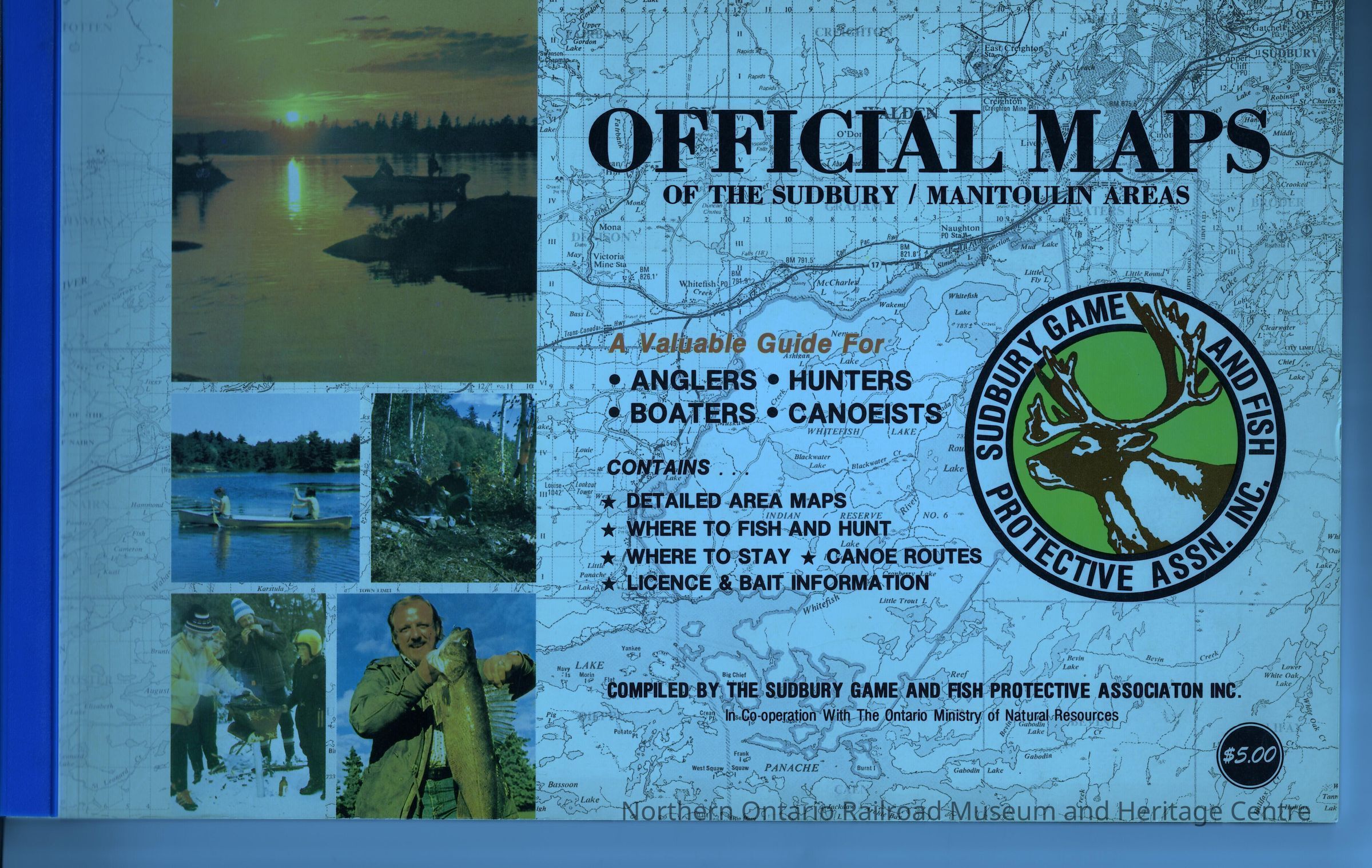
A book of maps of the Sudbury and Manitoulin areas. They provide information on where hunting and fishing is allowed as well as tourist stops, hotels, restaurants and other activities that can be done in Sudbury and Manitoulin. There is also a brief history of the Sudbury Game and Fish Protective Association. In each section there are tips and guides included as well as a section at the end allowing the owner to take notes.Collection
Library ArchiveAcquisition
Source (if not Accessioned)
unknownNotes
Date Acquired: unknownLexicon
Nomenclature 4.0
Nomenclature Secondary Object Term
MapNomenclature Primary Object Term
CartographNomenclature Sub-Class
Graphic DocumentsNomenclature Class
Documentary ObjectsNomenclature Category
Category 08: Communication ObjectsPublication Details
Author
Sudbury Game and Fish Protective AssociationPlace Published
City
Greater SudburyCountry
CanadaContinent
North AmericaState/Province
OntarioISBN
n/aNotes
Materials: Paper, plastic
Date: 1967-1977Inscription/Signature/Marks
Other Names and Numbers
Other Numbers
Number Type
Item NumberOther Number
32261Location
Location
Shelf
Capreol History SectionRoom
Dale Wilson Reference LibraryBuilding
NORMHC Heritage Centre, Northern Ontario Railroad Museum and Heritage Centre* Untyped Location
Capreol, OntarioDate
March 10, 2022Condition
Notes
Good condition, spine is loose, handle with careCreated By
admin@catalogit.appCreate Date
March 14, 2022Updated By
normhclibrary@gmail.comUpdate Date
April 21, 2022