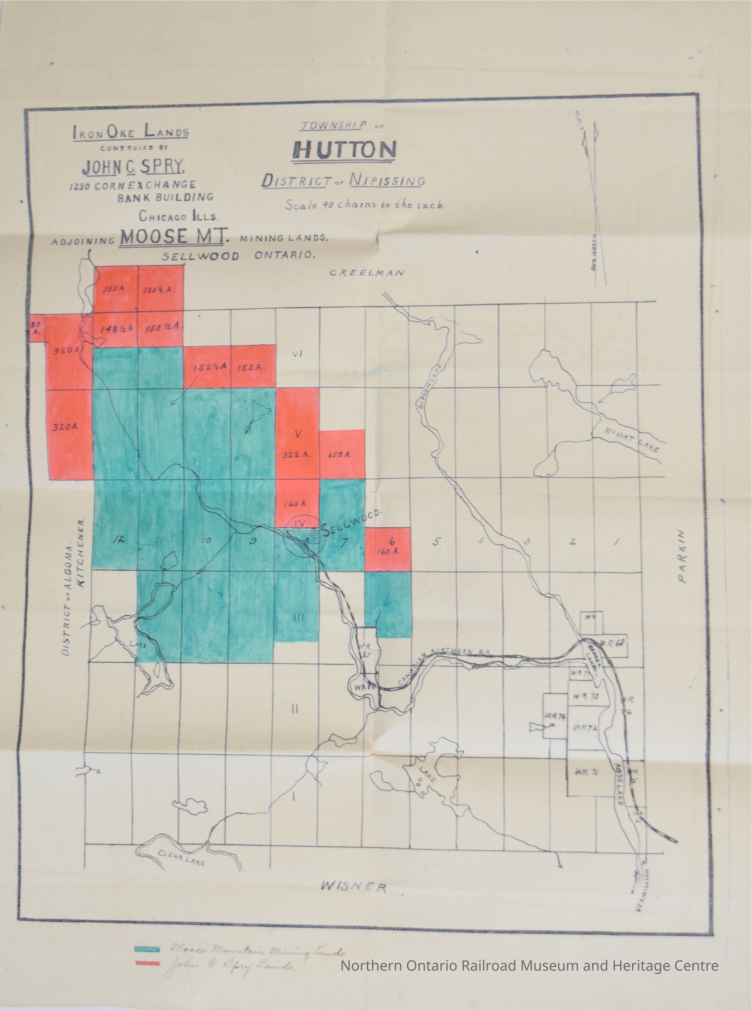
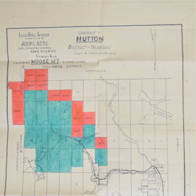
Map, Township of Hutton, District of Nipissing, Iron Ore Lands Controlled by John C. Spry, Claims, adjoining Moose Mountain Mining Lands, Sellwood Ontario. Date Unknown (1907/1908??)
Name/Title
Map, Township of Hutton, District of Nipissing, Iron Ore Lands Controlled by John C. Spry, Claims, adjoining Moose Mountain Mining Lands, Sellwood Ontario. Date Unknown (1907/1908??)Entry/Object ID
2019.003.031Description
Hand drawn map, Township of Hutton, District of Nipissing, Iron Ore Lands controlled by John C. Spry, 1230 Corn Exchange Bank Building, Chicago Illinois, adjoining Moose Mountain Mining Lands, Sellwood Ontario. Map Mining Claims, Date Unknown (1907/1908??). A grid map, showing the District of Algoma-Kitchener, marking the Moose Mountain Mining Lands in green and the John C. Spry lands in red. Scale "40 chains to the inch". Includes the Canadian Northern Railway Route, Clear Lake, Gibson Lake, McWat Lake, Ross Lake and the Vermillion River. The names Creelman, Parkin, and Wisner are marked around the top, right, and bottom edges of the map.Collection
Library ArchiveCategory
History, Mining History