Name/Title
Historical Tour of the Swing Bridge CapreolEntry/Object ID
2020.119.001Description
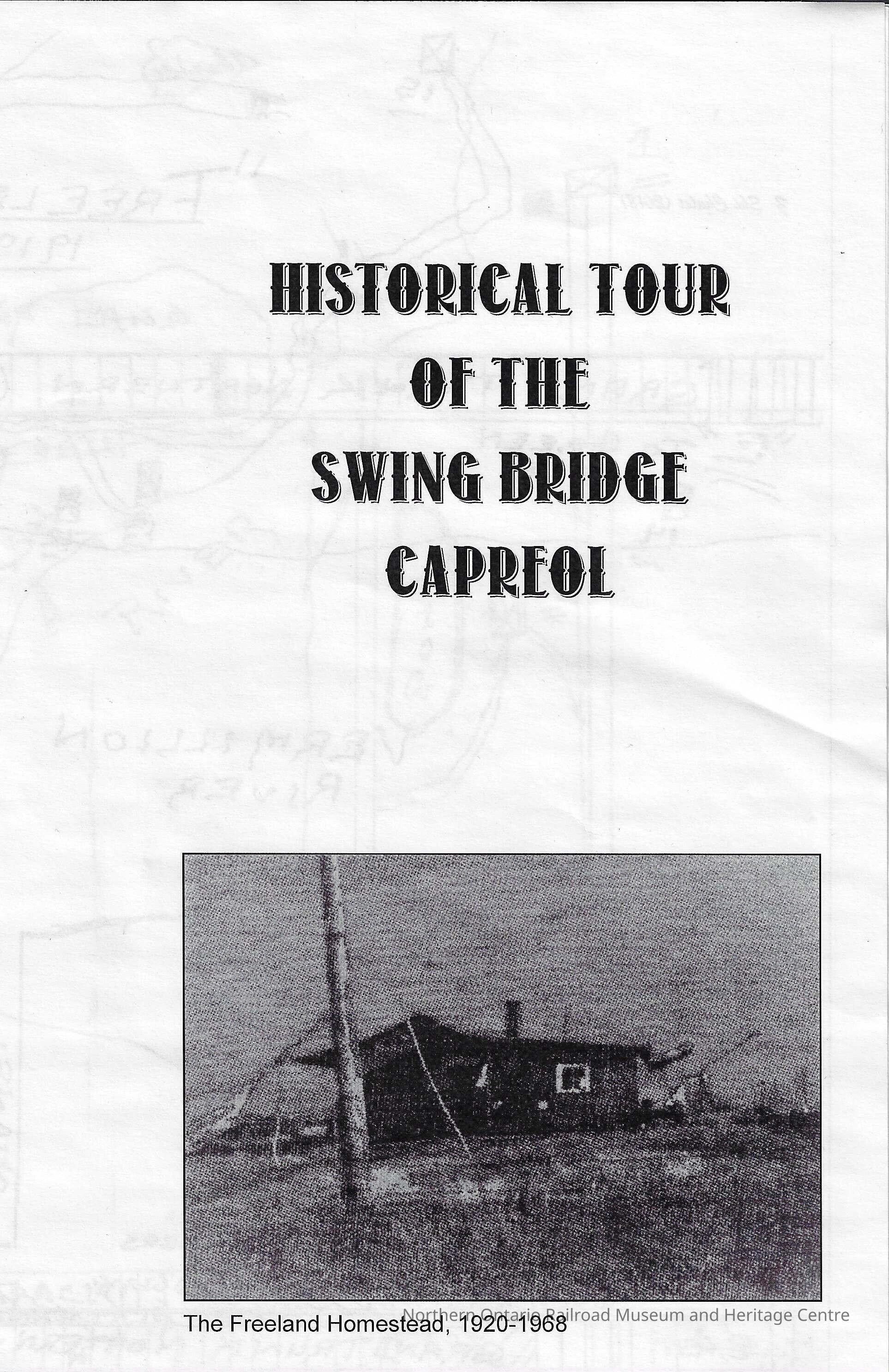
Booklet, partial section of the historical tour of the Swing Bridge in Capreol. The booklet opens up to show a hand drawn map showing Capreol, and the Vermilion River. The part of Capreol shown is the "other side of Capreol" meaning the section that was only made available by the swing bridge. There is also a legend on the back showing land marks in that area.
Distinguishing Features: noneContext
Original document, given out as a map to show a tour of the Capreol Swing bridge. It contains a historical hand drawn map and two historical photographs.Collection
Library ArchiveAcquisition
Source (if not Accessioned)
unknownNotes
Date Acquired: unknown
Method of Acquisition: Donation (?)Lexicon
Legacy Lexicon
Object Name
BookletClass
CommemorativeCategory
Primary SourcePublication Details
Author
unknownPlace Published
* Untyped Place Published
Capreol, OntarioCity
Greater SudburyCountry
CanadaContinent
North AmericaState/Province
OntarioDate Published
1975ISBN
n/aNotes
Materials: paper, inkInscription/Signature/Marks
Other Names and Numbers
Other Numbers
Number Type
Item NumberOther Number
31550Location
Location
Shelf
Capreol History SectionRoom
Dale Wilson Reference LibraryBuilding
NORMHC Heritage Centre, Northern Ontario Railroad Museum and Heritage Centre* Untyped Location
Capreol, OntarioDate
March 10, 2022Created By
admin@catalogit.appCreate Date
March 14, 2022Updated By
normhclibrary@gmail.comUpdate Date
April 20, 2022