Name/Title
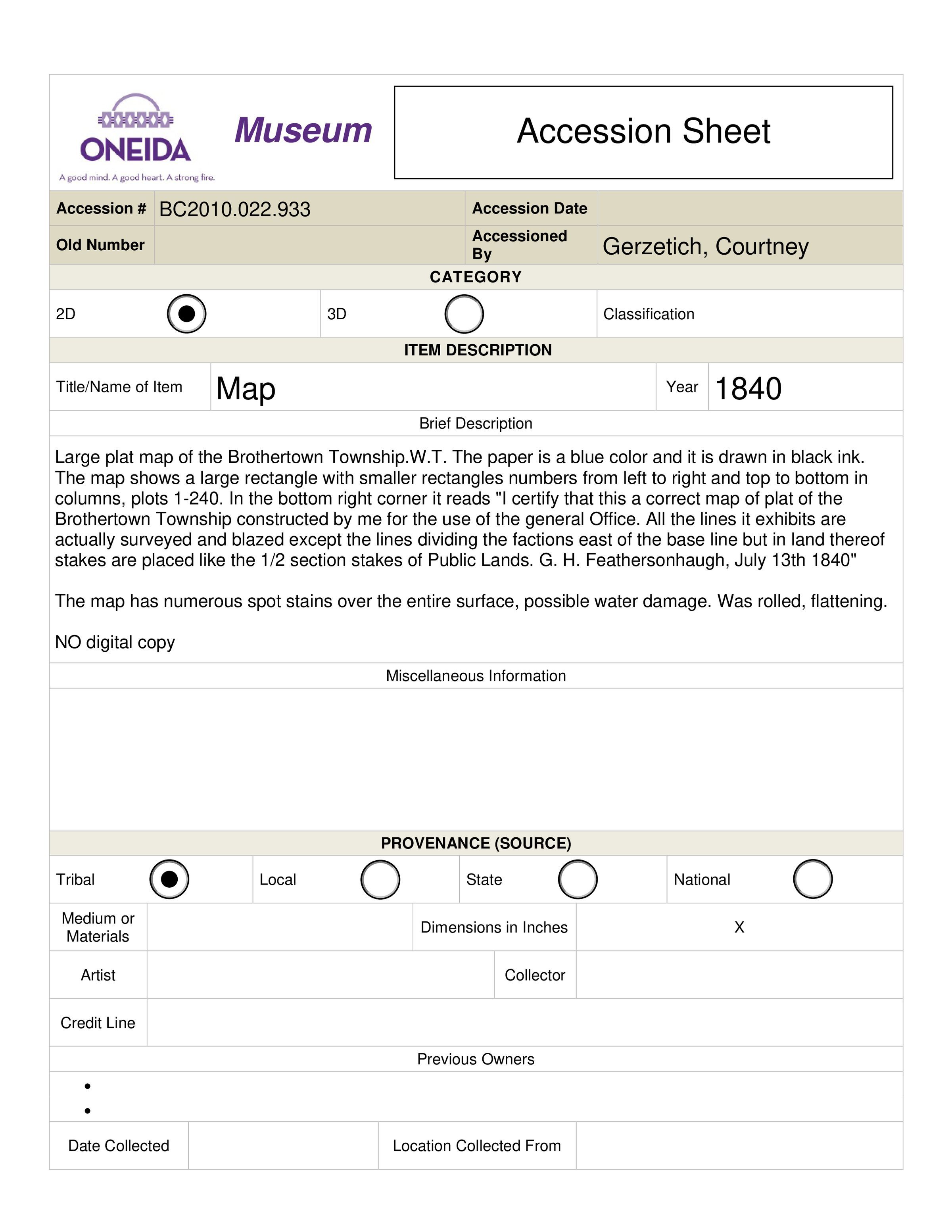
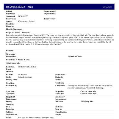
Brothertown Township MapEntry/Object ID
BC.2010.022.933Tags
Copyright RestrictionDescription
Large plat map of the Brothertown Township.W.T. The paper is a blue color and it is drawn in black ink. The map shows a large rectangle with smaller rectangles numbers from left to right and top to bottom in columns, plots 1-240. In the bottom right corner it reads "I certify that this a correct map of plat of the Brothertown Township constructed by me for the use of the general Office. All the lines it exhibits are actually surveyed and blazed except the lines dividing the factions east of the base line but in land thereof stakes are placed like the 1/2 section stakes of Public Lands. G. H. Feathersonhaugh, July 13th 1840"Collection
Brothertown CollectionCataloged By
Braaten, HattieLocation
Location
* Untyped Location
Digital OnlyDate
June 13, 2023Reproductions
Notes
Brothertown Indian Nation holds physical copies and copyright; contact Brothertown for reproductions and publishingCreated By
hbraaten@oneidanation.orgCreate Date
June 13, 2023Updated By
hbraaten@oneidanation.orgUpdate Date
June 13, 2023