Name/Title
Partial map of land granted to Brothertown IndiansEntry/Object ID
BC.2010.022.218Tags
Copyright RestrictionDescription
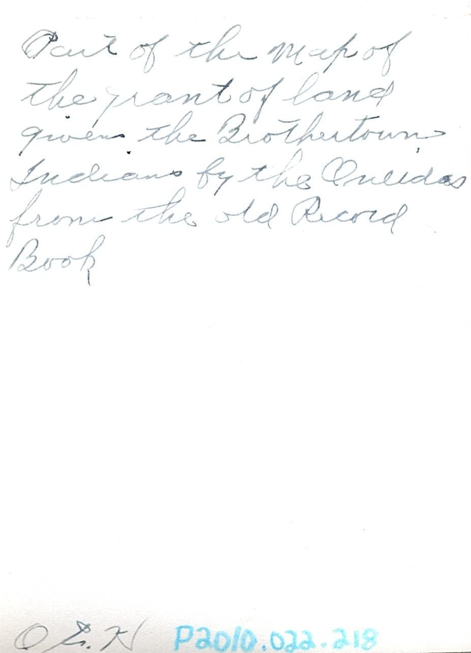
Black and white photograph of "A Map of the lands called Brothertown, surveyed in the months of July, August, and September and laid down by a scale of --"
Written in black ink on the back "Part of the map of the grant of land given the Brothertown Indians by the Oneidas from the old Record Book, O.E. H."Collection
Brothertown CollectionCataloged By
Schmit, AuroraInscription/Signature/Marks
Type
HandwritingLocation
Back of photoTranscription
"Part of the map of the grant of land given the Brothertown Indians by the Oneidas from the old Record Book, O.E. H."Location
Location
* Untyped Location
Digital OnlyDate
07/21/2023Relationships
Related Person or Organization
Person or Organization
Heller, Otto E.Related Places
Place
Region
BrothertownCity
Fond du LacState/Province
WisconsinContinent
North AmericaReproductions
Notes
Brothertown Indian Nation holds physical copies and copyright; contact Brothertown for reproductions and publishingCreated By
cgerzet1@oneidanation.orgCreate Date
07/21/2023Updated By
cgerzet1@oneidanation.orgUpdate Date
07/21/2023