Map of Lands of Benjamin Moffatt Jr. on Orange Turnpike.
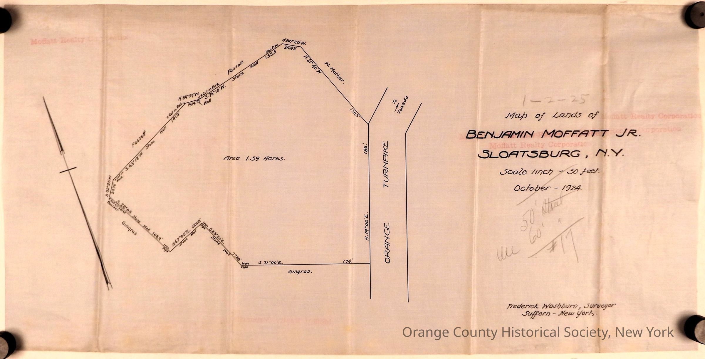
Map of Lands of Benjamin Moffatt Jr. on Orange Turnpike: The image is a historical survey titled "Map of Lands of Benjamin Moffatt Jr., Sloatsburg, N.Y.," dated October 1924, with a scale of 1 inch to 50 feet, showing a parcel of land totaling 1.59 acres and featuring boundary measurements and annotations, created by surveyor Frederick Washburn of Suffern, New York; the map highlights features such as Orange Turnpike.
Map of Lands of Benjamin Moffatt Jr. on Orange Turnpike

The image is a historical survey titled "Map of Lands of Benjamin Moffatt Jr., Sloatsburg, N.Y.," dated October 1924, with a scale of 1 inch to 50 feet, showing a parcel of land totaling 1.59 acres and featuring boundary measurements and annotations, created by surveyor Frederick Washburn of Suffern, New York; the map highlights features such as Orange Turnpike.

Name/Title

Map of Lands of Benjamin Moffatt Jr. on Orange Turnpike.

Entry/Object ID

OCHS-000555

Scope and Content

Map of Lands of Benjamin Moffatt Jr., Sloatsburg, N.Y. Scale linch = 50 feet. October - 1924 Frederick Washburn, Surveyor Suffern - New York. Moffatt Realty Corporation [watermark] Area 1.59 Acres fronting on Orange Turnpike. Bordering the lands of: Gingras, Foassett, and M. Mather.

Create Date

August 13, 2026

Update Date

August 13, 2026