Map of Lots of The Moffatt Realty Corporation
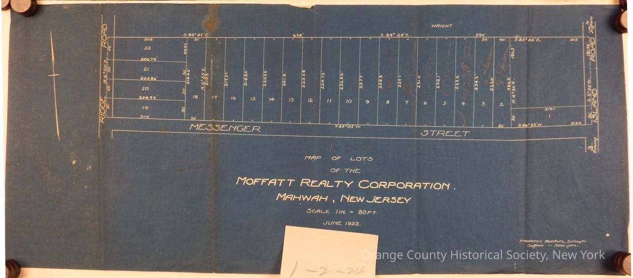
Map of Lots of The Moffatt Realty Corporation
The image is a blueprint map detailing the lots of the Moffatt Realty Corporation in Mahwah, New Jersey, dated June 1922, with a scale of 1 inch to 80 feet, and showing two main roads: Ridge Road and Messenger Street, along with labeled lot numbers ranging from 1 to 22, including various measurements and coordinates, by Frederick Washburn, Surveyor, Suffern, New York.