The Homestead Lot
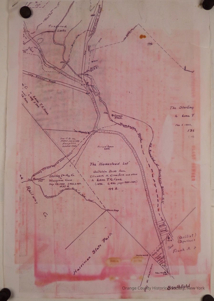
The "Homestead Lot"
This image depicts a historical map overlaid with a pinkish tint, showing an area identified as "The Homestead Lot," with a notation of it being a Quitclaim Deed from Elizabeth H. Cranford and others to Lena T. C. Cox in 1896. The map includes details such as proposed land features, roads, a railway, and landmarks like Sterling Iron & Ry. Co., Macgrane Coxe, and Harriman State Park. The map is marked with various property lines, labeled roads, and numbers that likely indicate survey measurements or plot designations, and there are additional handwritten notes detailing property ownership transfers with dates alongside specific locations.