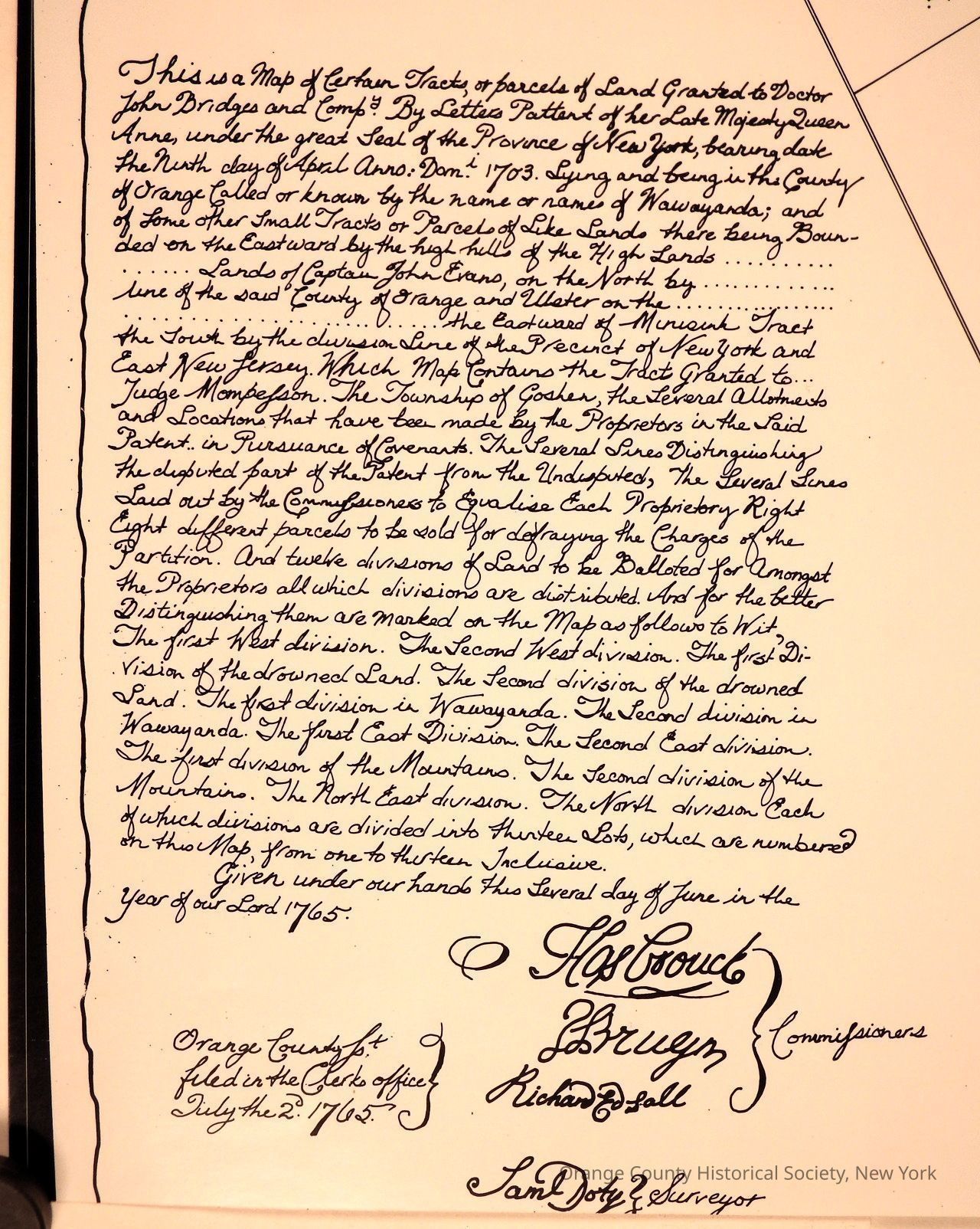
Wawayanda Patent Disputed lands map of 1765-07-02
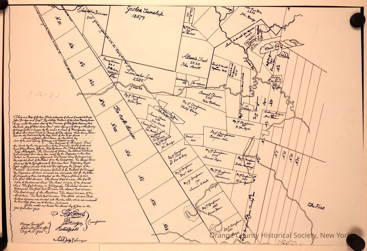
Wawayanda Patent Disputed lands map of 1765-07-02
This is a map of certain Tracts, or parcels of Land Granted to Doctor John Bridges and Comp’y By Letters Pattent of her Late Majesty Queen Anne,. The map appears to be divided into numerous labeled sections, each containing distinct parcel information, such as landowner names and acreage. Text on the left provides historical context and descriptions, referencing legal details and land transactions of that time. Several plots are marked with names like "Lancaster Lyne" and "Samuel Owen" alongside measurements, demonstrating ownership and division of land. Tracts like "Allen's Tract" are highlighted, and geographical features, such as rivers or pathways, are outlined, contributing to the map's historical and cartographic significance.