Haciendas Del Orinda Unit 2, October 1924 (Page 1 of 5)

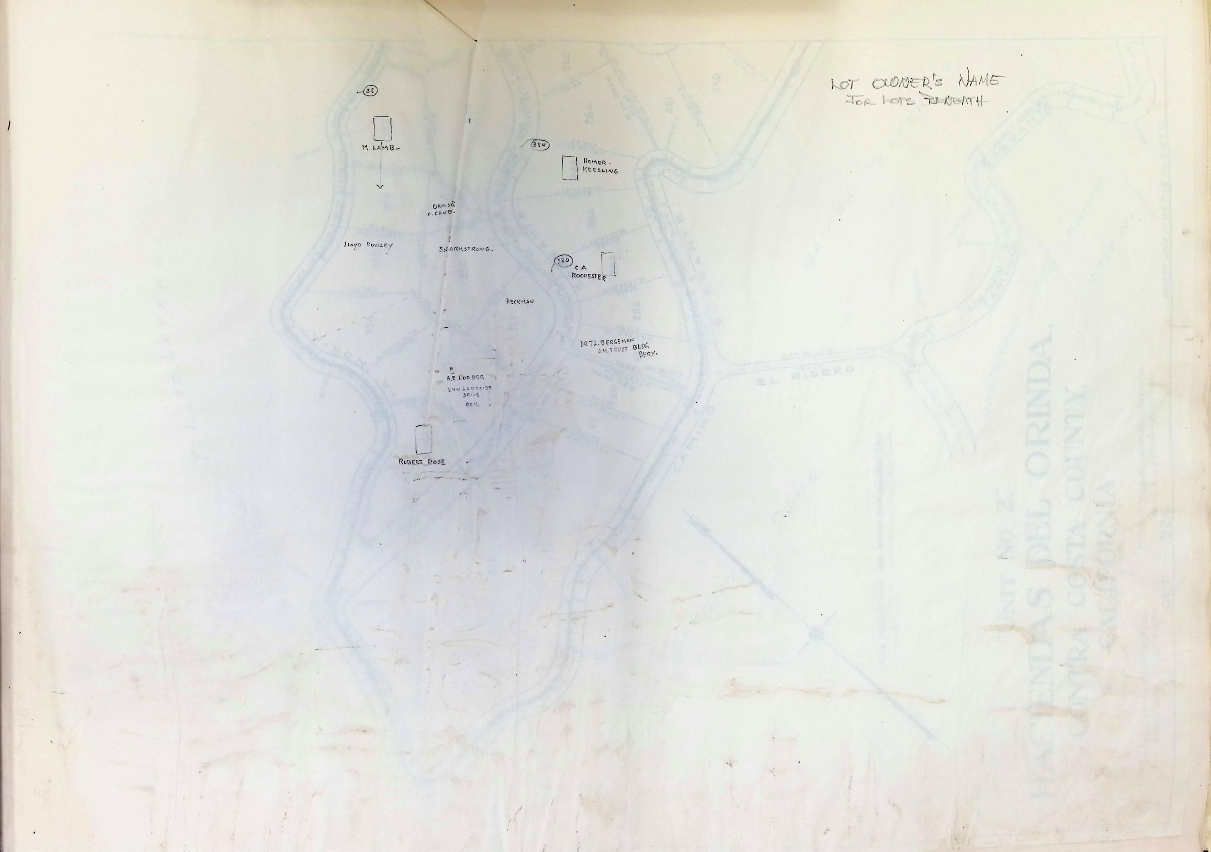
The image depicts a detailed land survey map titled "Unit No. 2, Haciendas del Orinda, Contra Costa County, California," created by J.H.L. Homme & Co., civil and subdivision engineers based in Oakland, California, in October 1924. The map outlines residential plots labeled with numbers, such as 351, 352, and 353, amongst many others, organized along winding roads like Camino Sobrante and La Cuesta. The Orinda Country Club and Orinda Water Company are notable landmarks shown within the vicinity. The scale is noted as 1 inch to 100 feet, indicating a precise representation of the area. Roads are marked distinctly, with specifications written in small script, and property boundaries are clearly delineated. The map includes features like pipe monuments, highlighting important surveying points.