Name/Title
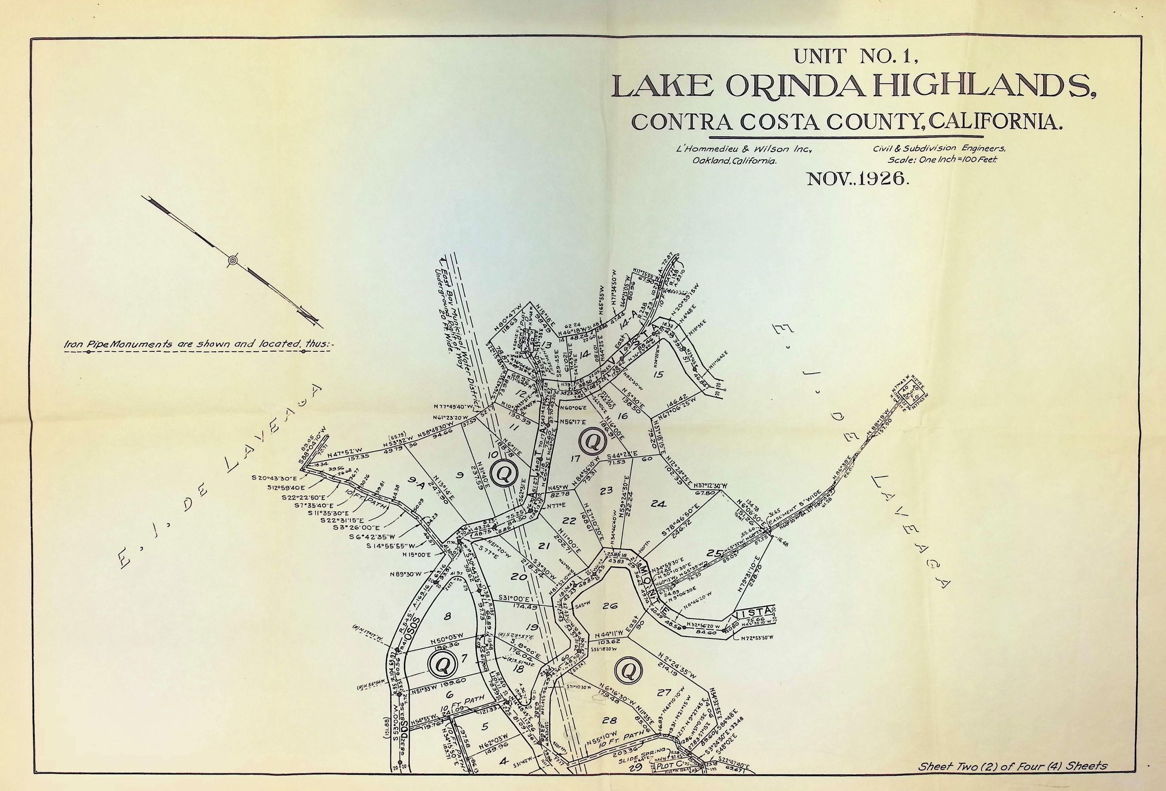
Lake Orinda Highlands 2 of 4Description
This image is a detailed map titled "Lake Orinda Highlands, Unit No. 1, Contra Costa County, California," dated November 1926. It includes various plotted areas and numbered sections, indicating surveyed lots with boundary lines and measurements. The map notes locations of iron pipe monuments and features curved and straight roads including Monte Vista, Dos Osos, and Alta Vista. The map is produced by L'Hommedieu & Wilson Inc., civil and subdivision engineers from Oakland, California.