Name/Title
Oak Springs Unit No. 4 UndatedDescription
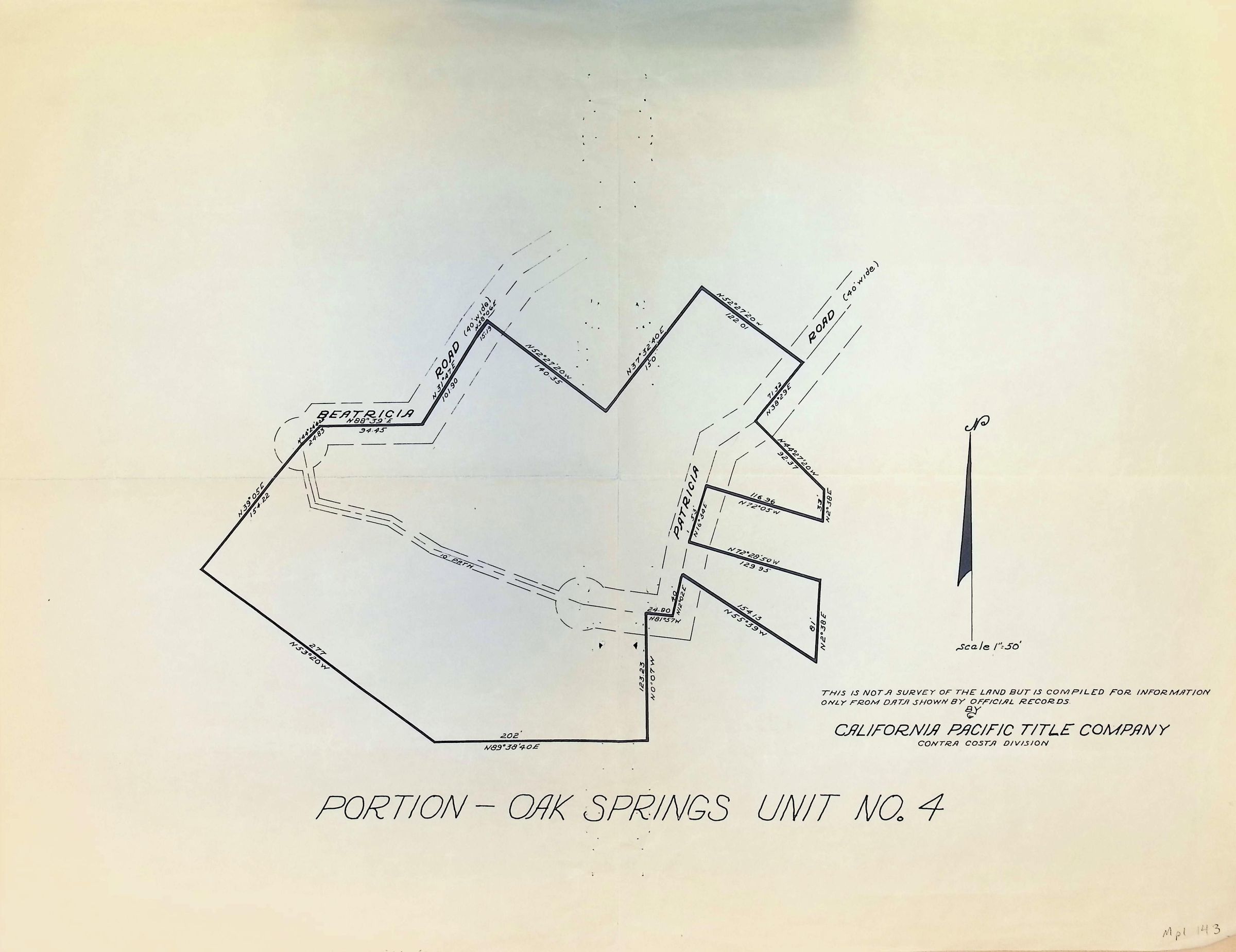
The image depicts a land map titled "Portion - Oak Springs Unit No. 4," prepared by the California Pacific Title Company, Contra Costa Division. The map outlines a specific section of land with distinct boundary lines and is labeled with notations indicating areas labeled as "BEATRICIA" and "PATRICIA." Various roads and coordinates are marked, providing dimensions and directions. A north arrow at the right indicates the orientation, with a scale of 1" = 50'. A note clarifies that it is not an official survey but compiled from existing records. The map is primarily in black and white with clear linework and text annotations.