Name/Title
Oak Springs Unit No.1 (3 of 4)Description
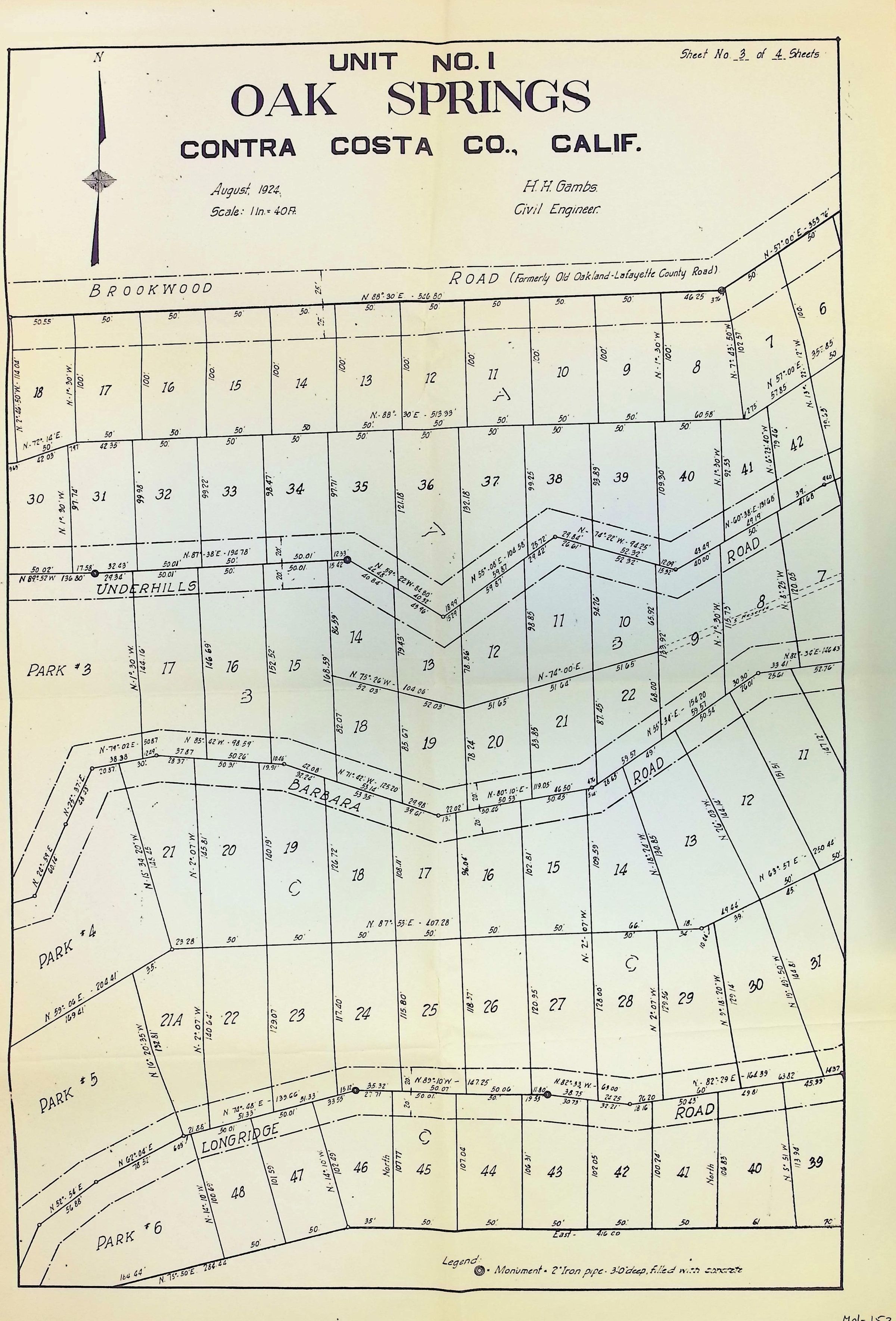
The image is a detailed map labeled "Oak Springs, Unit No. 1" in Contra Costa County, California, dated August 1924, and prepared by H. H. Gambs, a civil engineer; the map delineates plots of land with boundary lines, numbers, and measurements, along with several roads intersecting the area, including roads labeled as Brookwood, Underhill, and Longridge.