Orinda Park Terrace 3 of 6
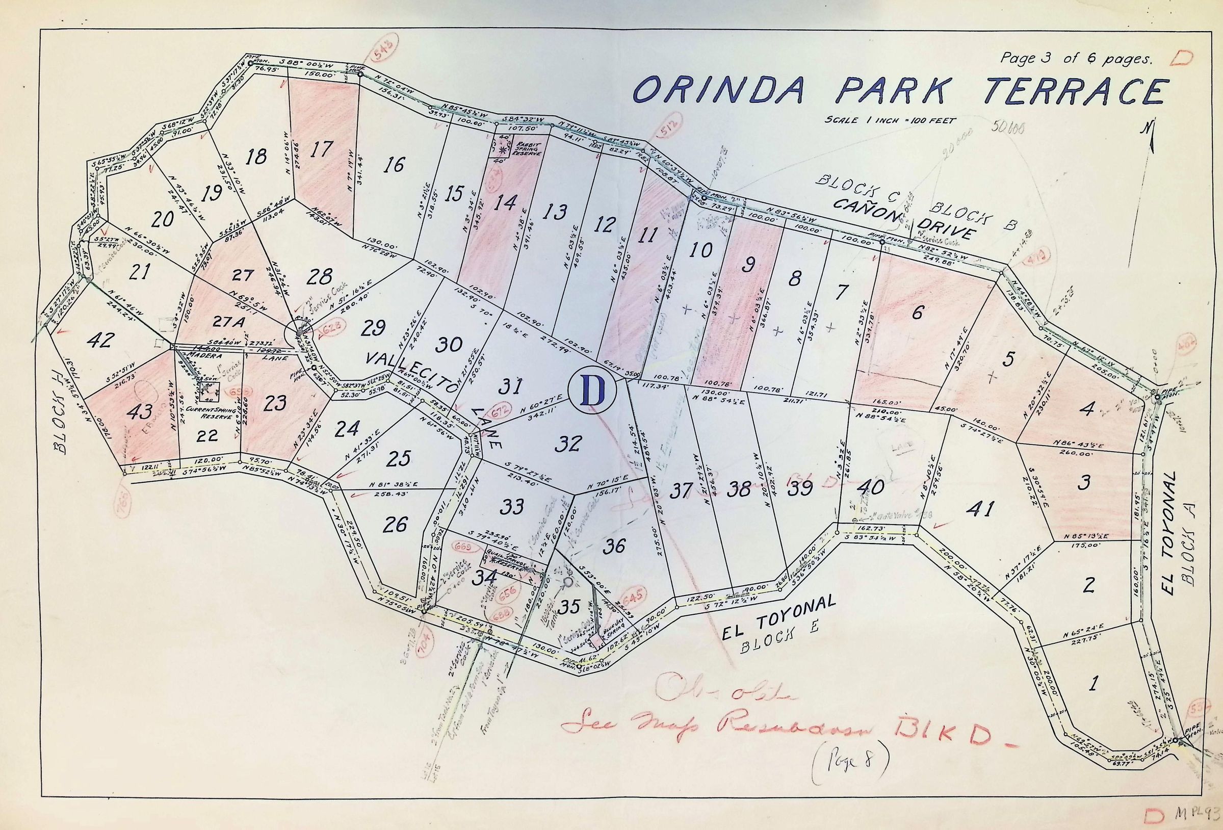
The image is a detailed map of "Orinda Park Terrace," showing various plots of land numbered from 1 to 43, with distinct boundaries and measurements. The map indicates multiple blocks, highlighted in pink for certain areas, with a label D alongside street names such as El Toyonal, Cañon Drive, and Vallecito Lane.