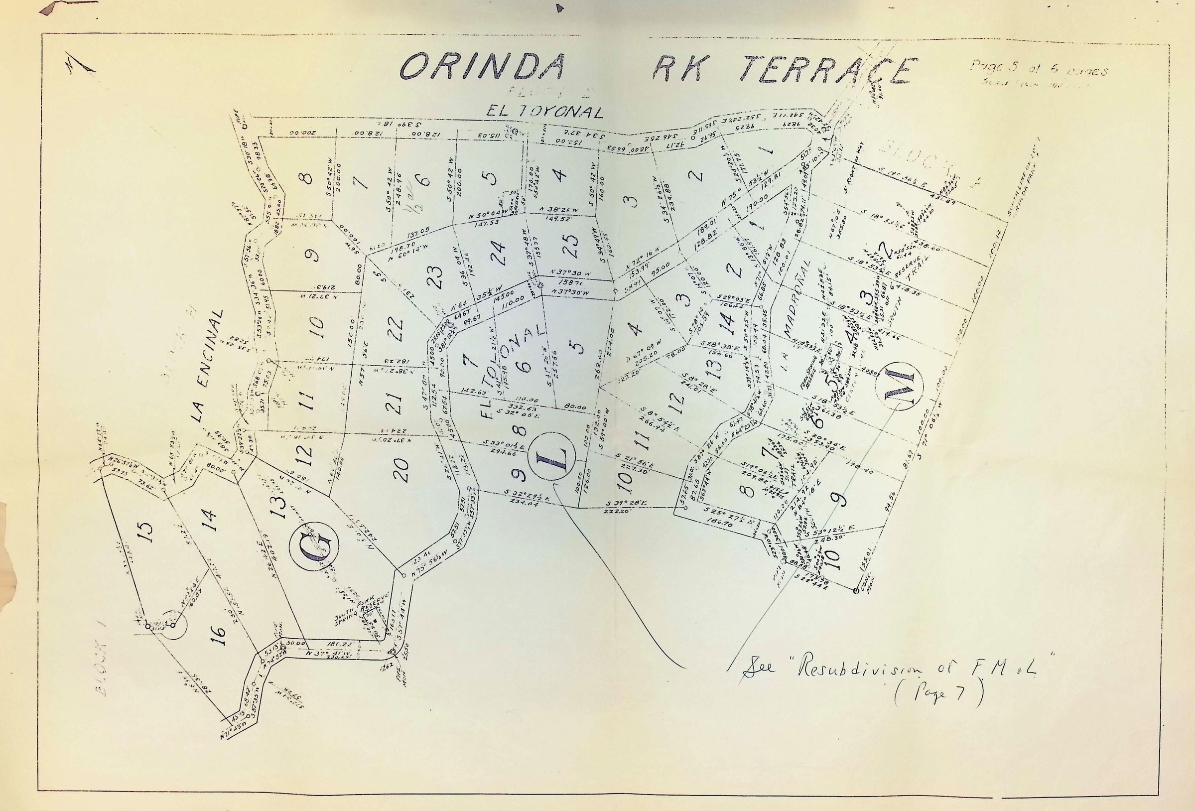
Orinda Park Terrace 5 of 6
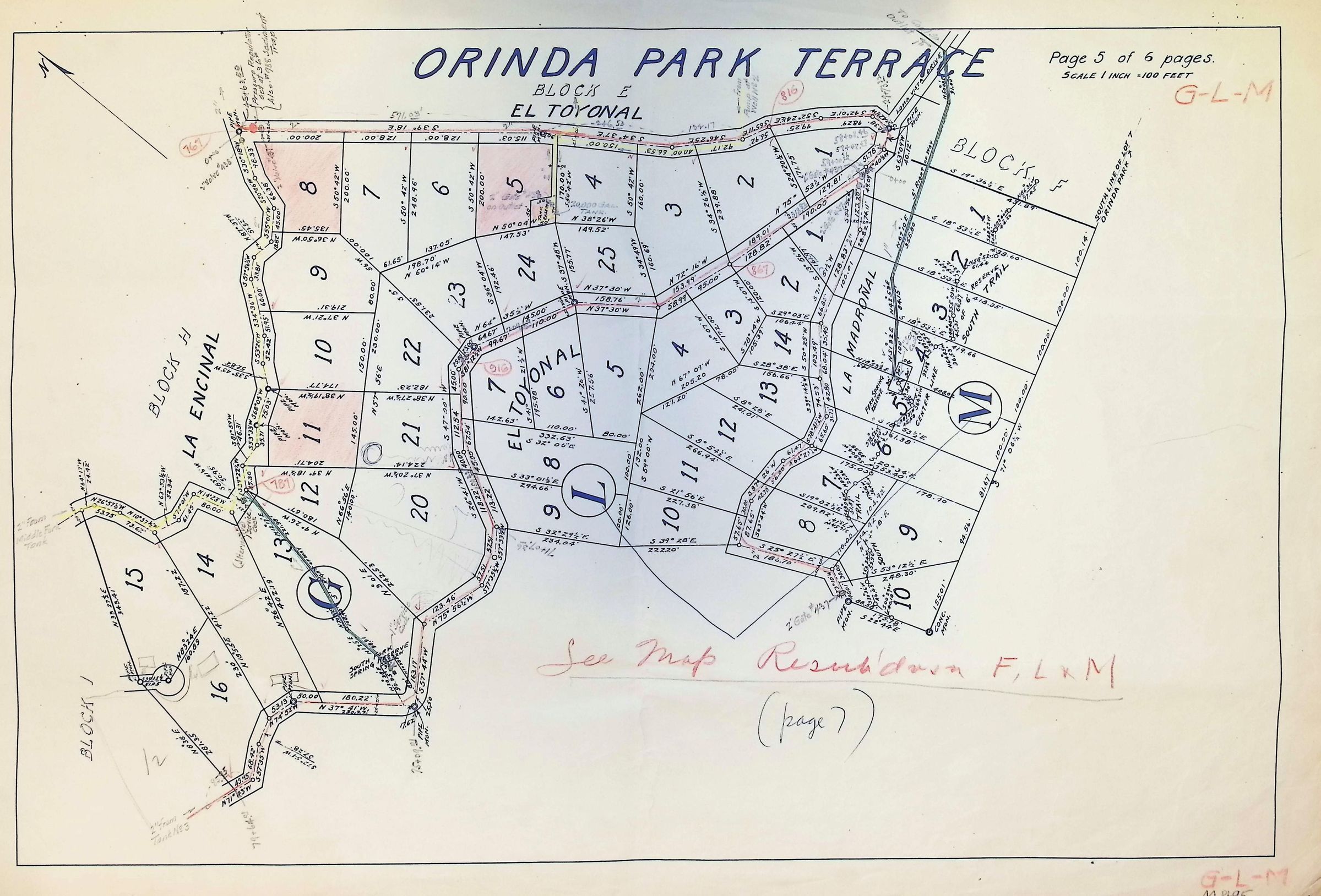
The image is a detailed map titled "Orinda Park Terrace" depicting a residential area divided into various numbered lots. The layout shows intricate boundaries with measurements noted in degrees and feet, suggesting precise surveying. Streets named La Encinal, El Toyonal, and La Madronal interconnect the parcels. Annotations, some in red, highlight certain sections, and areas G, L, and M. 1922.