Notes
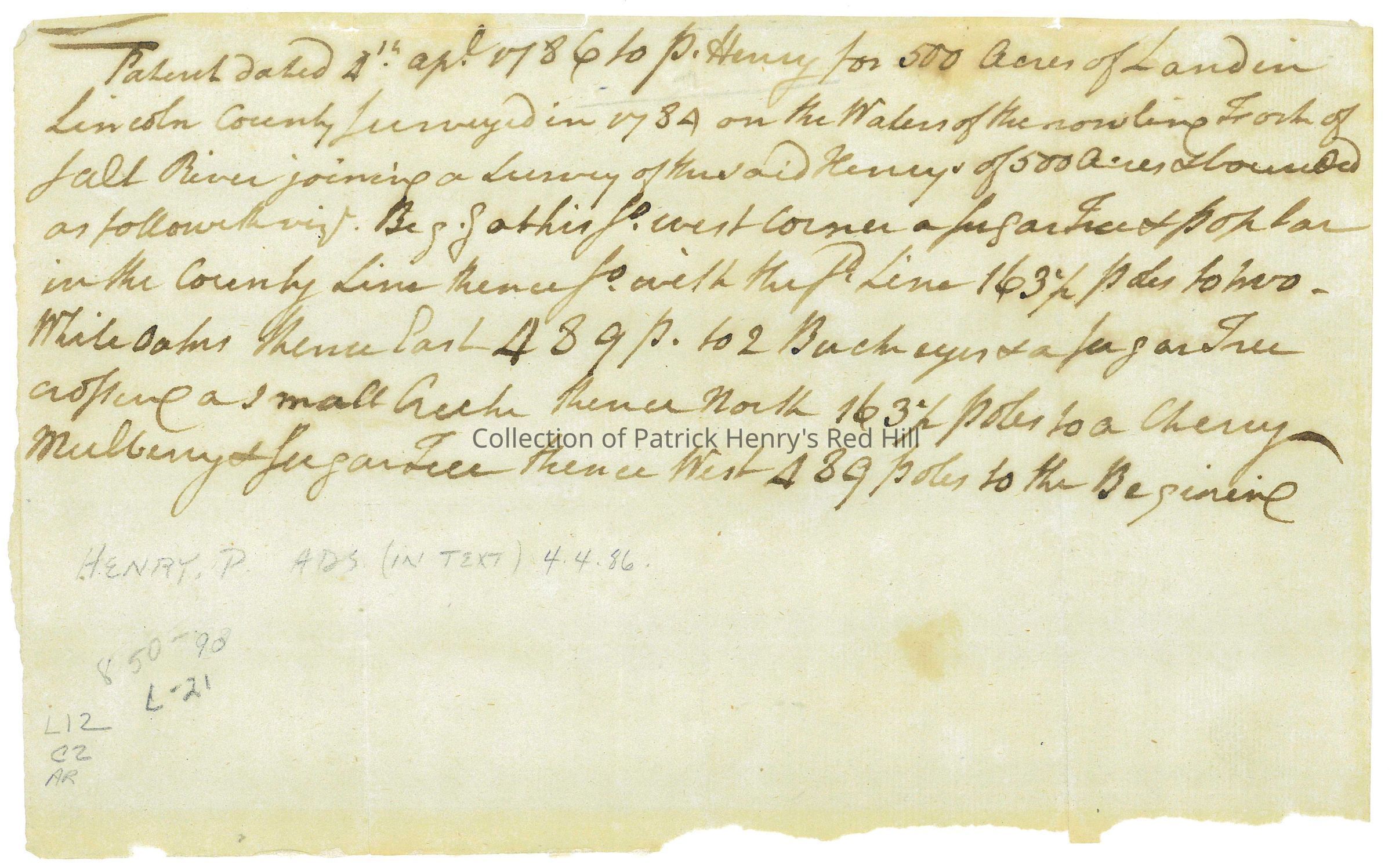
This land patent was copied by Patrick Henry on April 4, 1786, while he served his fifth term as governor of Virginia. The patent serves as a copy of the formal document issued by the government that granted Henry the rights to 500 acres along the rolling fork of the Salt River in what was Lincoln County, Virginia.
500 acres are specified along the “rolling fork” of the Salt River, a tributary of the Ohio River, within what was Lincoln County, Virginia. Lincoln County was partitioned by the Virginia General Assembly in June 1780. It was named after Revolutionary War General Benjamin Lincoln, and was one of three counties originally formed out of Virginia’s Kentucky County, with the other two being Fayette and Jefferson Counties. It comprised about one-third of Kentucky until 1786, when it was divided by the addition of Mercer and Madison Counties. Lincoln County continued to be divided after the Commonwealth gained statehood in 1792, and now covers approximately 450 square miles.
It is important to note that a land patent differs from both a deed and a land grant. Whereas a deed is a transfer of ownership of property from one person to another, a land patent grants ownership directly from the government to the individual. A land grant is also different by definition, referring to a gift of land made by a government or other authority, often as an incentive or reward for military service, and while it establishes a right to land, it does not represent the final step in acquiring a legal title. Land patents often include an estimate of acreage and a list of any improvements to the land.
This patent was purchased by the Patrick Henry Memorial Foundation on September 18, 2024, from University Archives.