HUB
Collections
Classifications
About
App
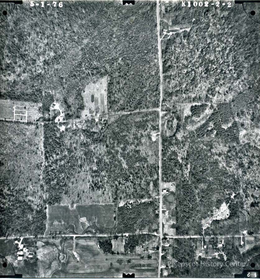
An aerial view of the Durham Road. 5/1/1976.
Photograph
-
Pejepscot History Center
Lunt Road and cemetary.
Origformat: Print-Photographic
Name/Title
An aerial view of the Durham Road. 5/1/1976.
Entry/Object ID
1992.53.27.5
Description
A B/W aerial view of the Durham Road. Lunt Road and the Lunt Cemetery can be seen. 5/1/1976.
Collection
Found On-hand
Lexicon
Nomenclature 4.0
Nomenclature Secondary Object Term
Print, Photographic
Nomenclature Primary Object Term
Photograph
Nomenclature Sub-Class
Graphic Documents
Nomenclature Class
Documentary Objects
Nomenclature Category
Category 08: Communication Objects
Search Terms
Streets - Durham Road,
Streets - Lunt Road,
Cemeteries - Lunt Memorial